7 am CT Wednesday Update: Good morning. We’ll take a quick look ahead at our forecast for this week and then turn our attention to Hurricane Delta, which made landfall near Puerto Morelos, in the Yucatan Peninsula, around 5:30 am CT today. It had maximum sustained winds of 110 mph. The hurricane will move into the Gulf of Mexico later today.
Wednesday
Today will be warm and sunny, with highs likely climbing into the mid- to upper-80s with light northeasterly winds. We should really start to feel the return of moisture at the surface today, so it will feel a bit more humid, and nighttime temperatures will be a few degrees warmer than Tuesday night, likely not falling below 70 degrees in Houston.
Thursday and Friday
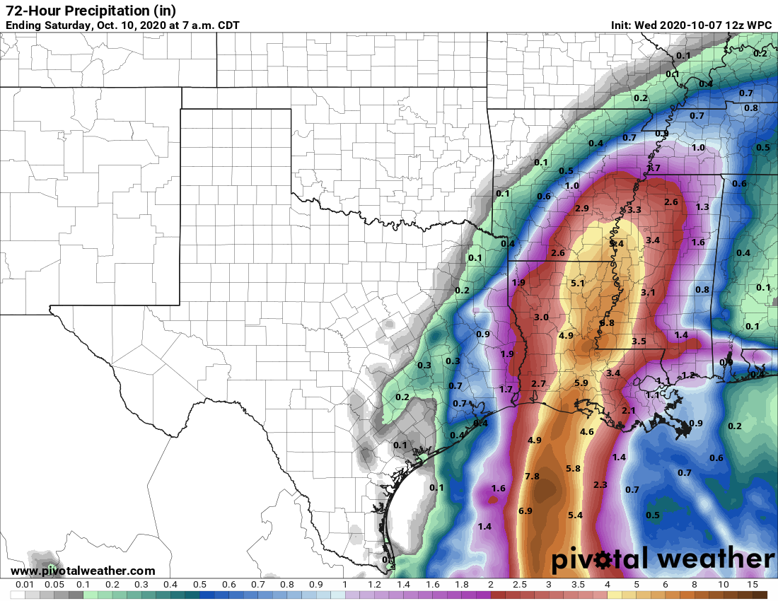
Our weather on both of these days will depend heavily upon how close Hurricane Delta gets to Texas as it moves into the western Gulf of Mexico. In terms of precipitation, for now, we’ll guess (emphasis on guess) the eastern half the region sees perhaps 0.25 to 0.5 inch of rain, with lesser amounts west of Interstate 45. The best rain chances should come on Friday, and partly cloudy skies should help to limit temperatures into the low 80s. Winds may gust up to about 30 mph, or higher, especially on the city’s east side, and along the coast.
Saturday, Sunday, and beyond
Some showers may linger into early Saturday, but for the most part, the weekend looks warm and sunny, with highs near 90 degrees. There is the potential for a cold front to arrive on Tuesday or so of next week, but it may get hung up for a few days and not move in until later. Still, we do anticipate more fall-like weather to return in about a week, give or take.
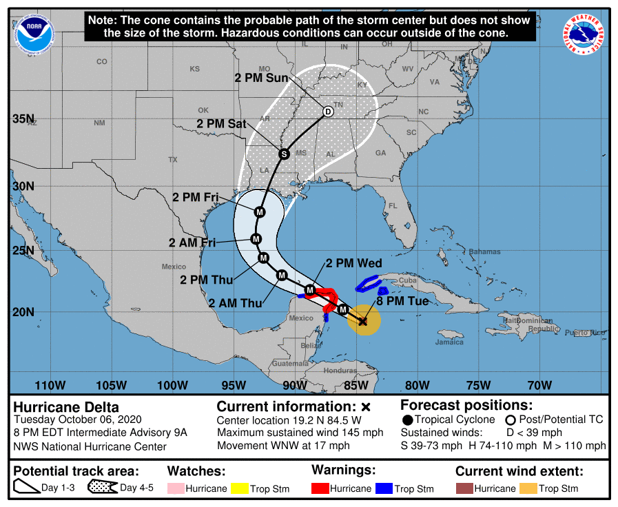
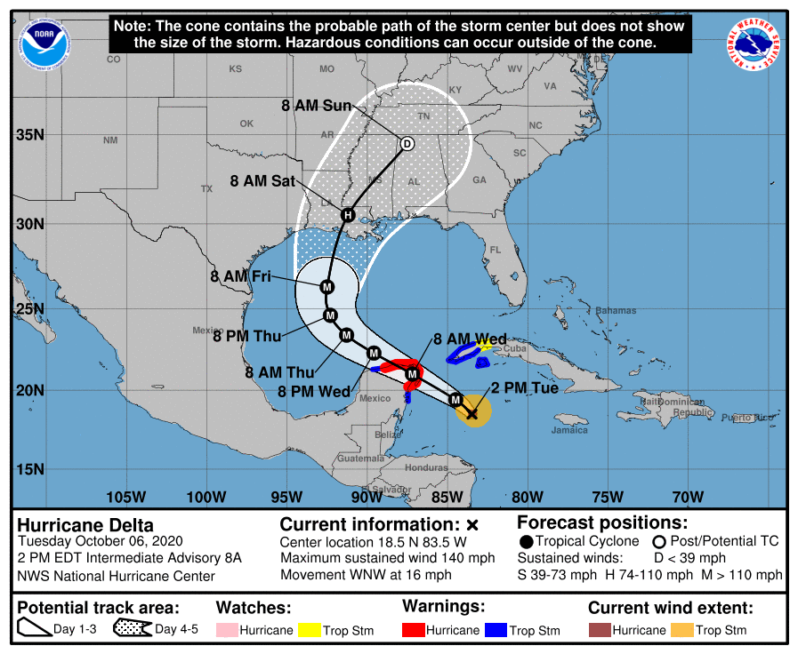
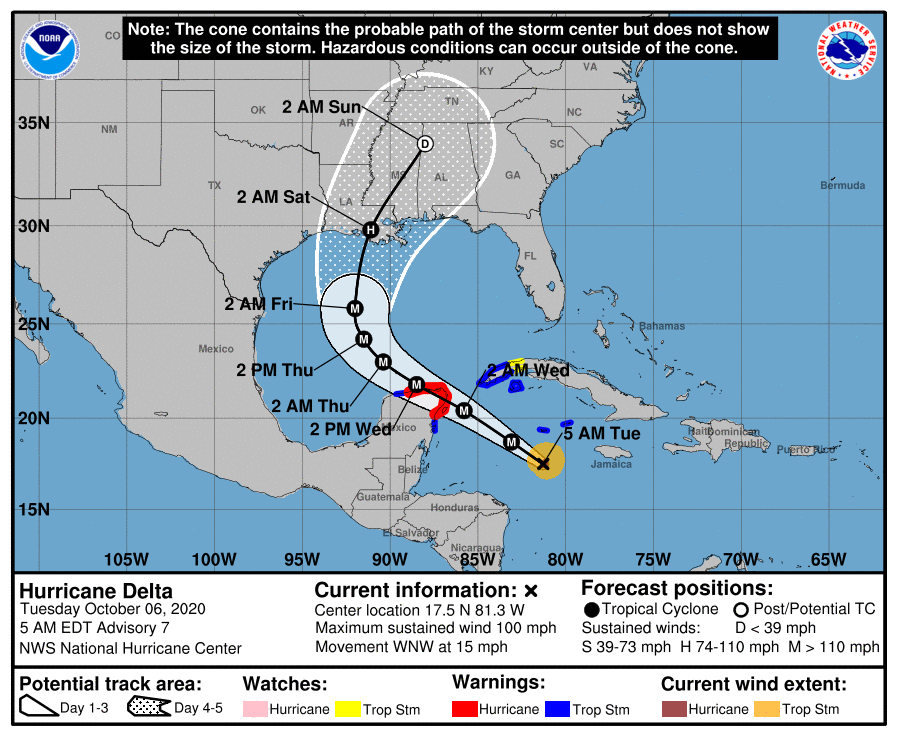
Delta, Delta, Delta
Delta has weakened overnight due to the influence of wind shear at mid-levels of the atmosphere, and it may weaken a little bit further this morning as its center briefly crosses the northeastern corner of the Yucatan Peninsula. As it reaches the southern Gulf of Mexico, the storm should begin to re-intensify tonight, and the National Hurricane Center anticipates Delta briefly pulsing back up to a Category 4 hurricane over the Gulf. (We’ll see).
As the storm moves north it will encounter less favorable conditions and should be on a weakening trend near landfall Friday. Frankly, I have significant questions about how strong Delta will be at landfall, and anything from a Category 1 to Category 3 hurricane seems possible. Most likely, the further east the storm tracks, the stronger it will be.

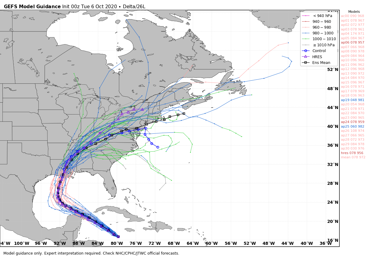
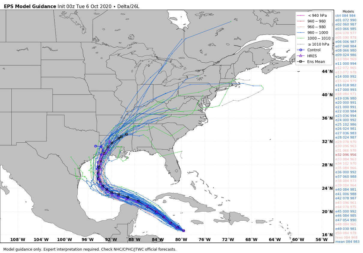
In terms of track, our overall thinking has not changed in terms of approaching Texas and then turning north. As you can see in the forecast graphic above, as we get closer to Delta’s Gulf coast landfall, the “cone of uncertainty” in the National Hurricane Center’s official track has narrowed. It now essentially runs from the border between Texas and Louisiana, on the west side, to southeastern Louisiana. This reflects what we’ve been telling you over the last several posts, that the forecast models are generally in quite good agreement on a landfall between the Texas-Louisiana border and Morgan City. Landfall now looks likely to occur some time during the middle of the day on Friday, or during the evening.
Along this track, as noted above, the greater Houston region would only see moderate effects, including increased winds on Thursday and Friday, some decent rain chances, and moderate coastal flooding at high tides. We will need to continue to monitor the storm’s track closely, but the greatest likelihood remains that Delta will be a near-miss for our area.
In terms of Louisiana, Delta’s effects will depend heavily upon its intensity. It does seem really, really cruel that this storm will probably make landfall not too far from where Hurricane Laura did so in August. However, we do think Delta’s winds will probably be less at landfall than Laura, and surge as well. Because the storm is expected to be moving fairly quickly to the north-northeast, rainfall amounts should generally be less than 8 inches for most areas.
Our next post will come no later than 2:45 pm CT.