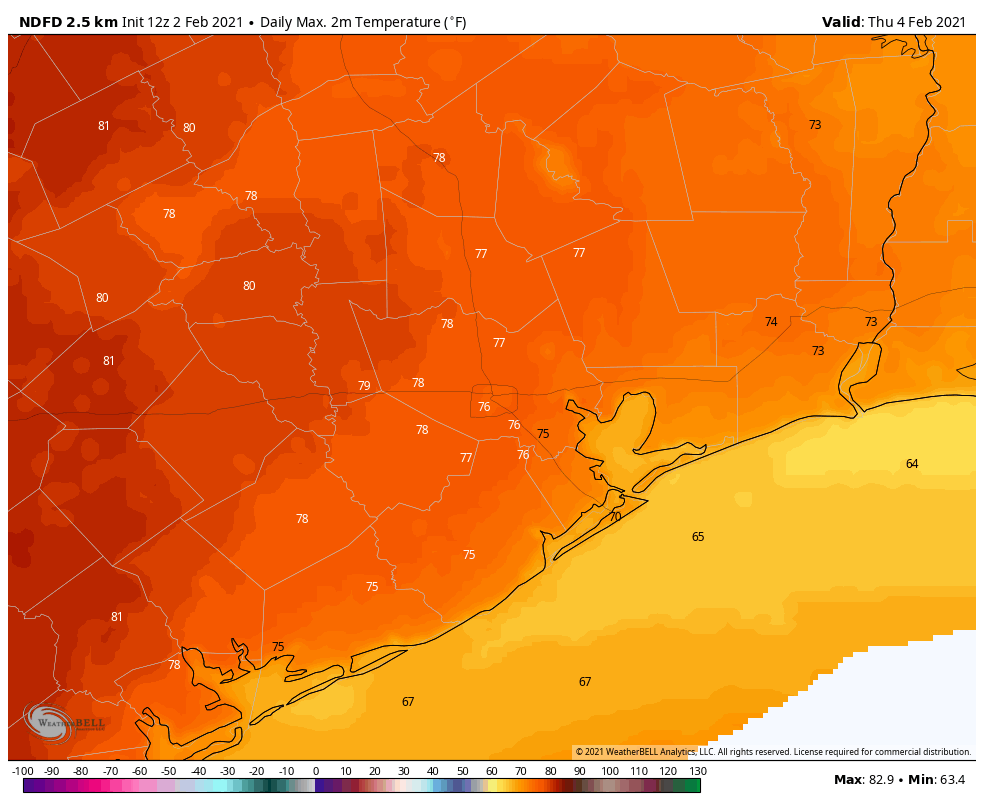
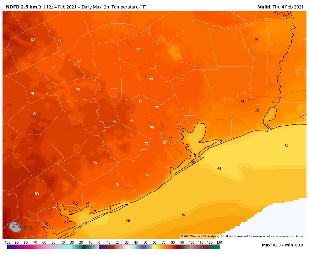
It’s a rather warm morning across the region for early February, with lows in the 60s. We’re on the way toward a very warm afternoon, with highs near 80 degrees. But as we’ve been talking about, do not take this as a sign that winter is over. We’re still anticipating a pretty robust cooldown next week that could very well bring a freeze to parts of the Houston area, if not all of it.
Thursday
A warm, southwesterly flow will allow temperatures to warm into the upper 70s to 80 degrees this afternoon. Areas that see a bit of sunshine will probably reach 80, and chances of this are highest just west of Houston. This flirtation with spring will will end this evening, as a front reaches areas northwest of Houston around sunset, drops into the city of Houston between 8 and 10pm, and reaches the coast around midnight. A very light band of rain may accompany the front.
Friday
Lows on Friday will drop down to around 50 degrees, in the wake of the front. Winds will be out of the north, and even with partially clearing skies, highs may only rise to around 60 degrees for most. Lows will probably drop into the upper 40s overnight, as winds shift to come from the east.
Saturday
Thanks to this warmer onshore flow, highs on Saturday will probably climb to around 70 degrees with partly sunny skies. However, by the afternoon, a second front should arrive and this will again cool Houston down to around 50 degrees overnight.
Sunday
The second half of the weekend looks splendid, with highs near 70 degrees, lots of sunshine and dry air. Seriously, do something outside.
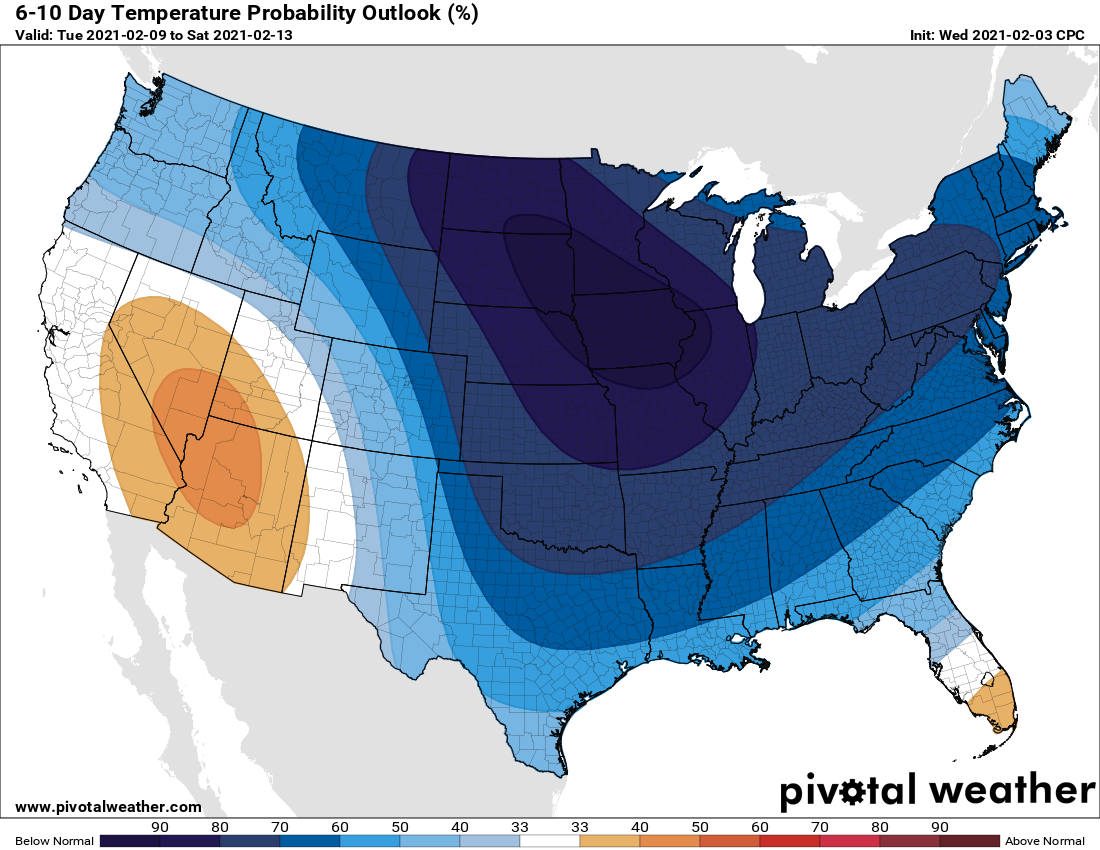
Next week
Monday and Tuesday both look reasonably warm, with highs in the upper 60s or lows 70s and a mixture of sunshine and clouds.
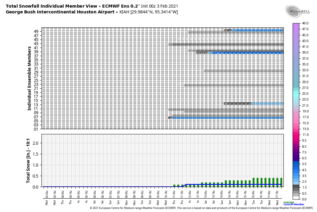
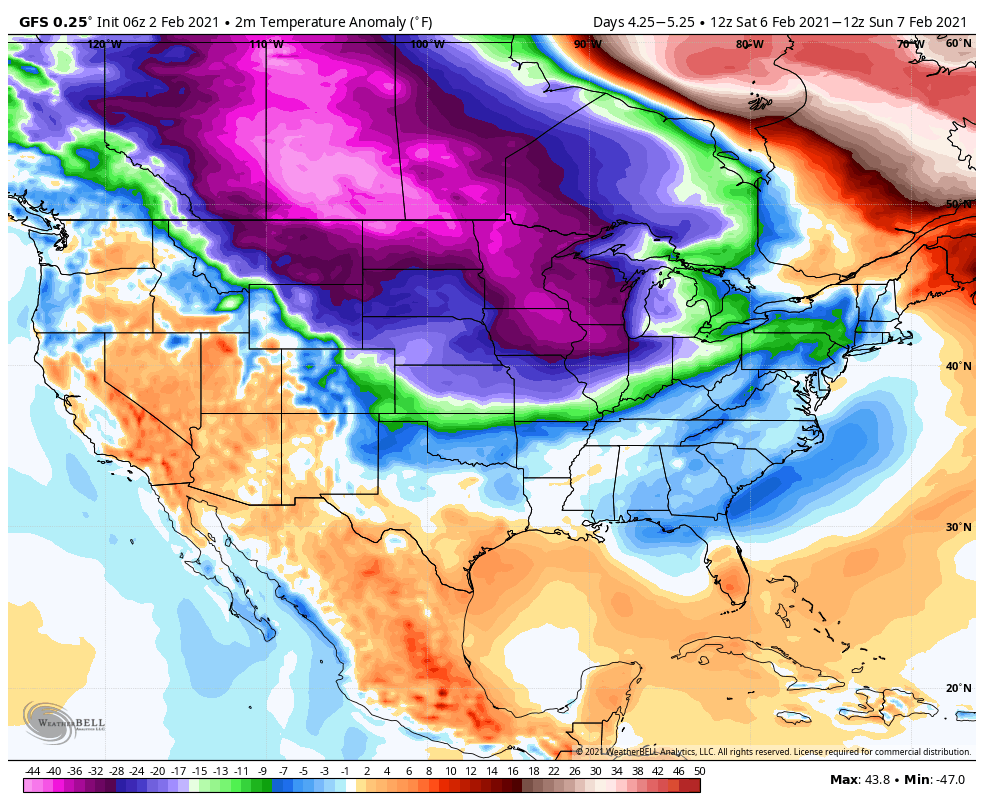
The pattern changes on Wednesday with the arrival of a cold front, which should bring several days of significantly colder air into the region. With mostly cloudy skies for a few days, the second half may see highs in the 50s (or even 40s?) and lows in the 30s (or maybe even 20s?). This raises the possibility of wintry precipitation by next weekend, or so. I think there’s a solid 20 percent chance or snow, but given the delicacy of such a forecast—which is to say a lot of ingredients must line up just right for snow to fall along the upper Texas coast—we’re still a long way from being able to forecast what will happen with confidence. So, stay tuned!