A fairly cool morning—with temperatures in the 50s—will quickly warm and give the region one more warm day before winter-like conditions settle across the region for the rest of the month.
Today
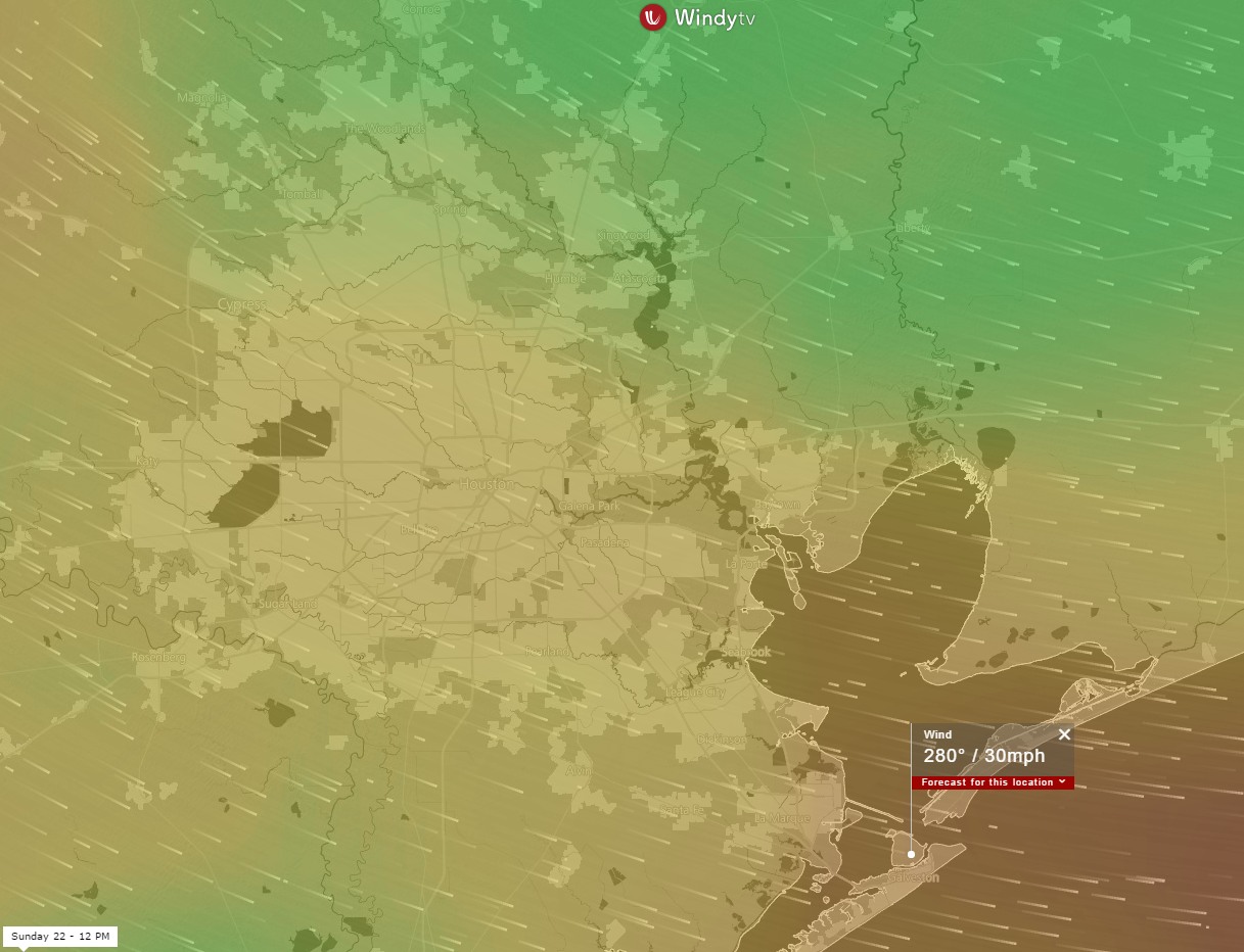
As winds pick up out of the south today, with gusts possibly pushing into the low 20s mph especially along the coast, we’re likely going to see temperatures rise into the low 80s this afternoon under mostly sunny skies. This will be this winter’s 10th day of high temperatures that reach 80 degrees, or higher, and the last for awhile. Temperatures tonight won’t moderate too much, falling only into the low 60s across most of the area.
Wednesday
Some time on Wednesday morning, perhaps around sunrise, a cold front will move through Houston. It’s likely there won’t be enough moisture in the air to allow for much, if any, rain to develop with the front’s passage although a few scattered showers can’t be entirely ruled out. Temperatures won’t climb much on Wednesday as highs reach about 70 degrees under clearing skies. Northerly winds will dry things out, and lows Wednesday night should fall into the 40s—low for inland areas, upper for those closer to the coast.
(Space City Weather is sponsored by Westbury Christian School for this month)