Happy Thanksgiving! Today’s a great day to appreciate what we’ve got, and Matt and I are truly thankful for our families, and for the faithful and generous community of readers we have here. Now, a quick forecast.
Today
We’re going to see almost perfect conditions for Thanksgiving, from a cool morning to sunny skies this afternoon with high temperatures in the mid-70s. Enjoy the great weather.
Friday and Saturday
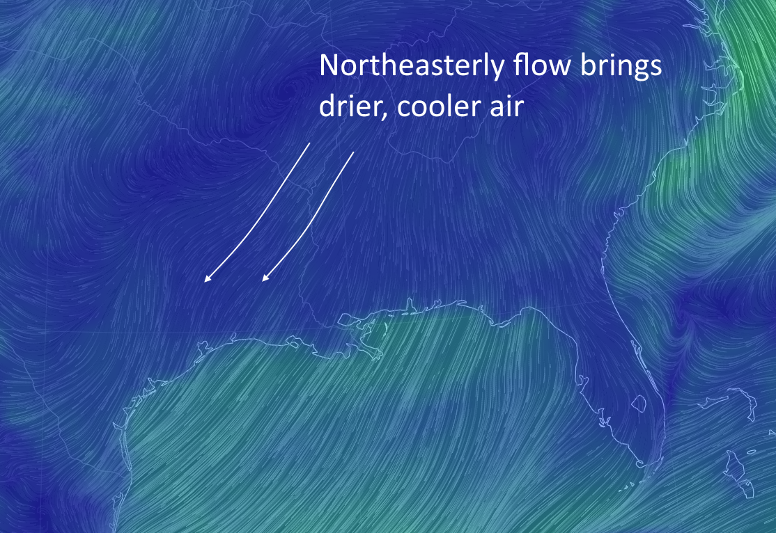
Wednesday’s front will move back onshore later on Thursday and will bring some moderately higher moisture levels into the Houston region on Friday. This may produce a few scattered showers along the coast, especially to the southwest of Houston, but for the most part Houston should see partly to mostly sunny skies. Meanwhile a reinforcing short of cooler, drier air will move into the area on Friday, setting the stage for two days in the low 70s, with low temperatures in the 40s north of the area, and mid-50s close to the coast. More great weather.