Temperatures reached 89 degrees on Wednesday, and there’s more anomalously warm weather ahead for the region as a stagnant, late-summer pattern holds sway.
Thursday and Friday
A front moving into north Texas will stall well to the northwest of Houston, but some of the associated instability could work its way into the region today and tomorrow. This should result in some slight rain chances on both days, especially to the northwest of the metro area in places like College Station, although we’re probably not looking at widespread rain. Highs in the upper 80s, lows in the low 70s.
Saturday through Tuesday
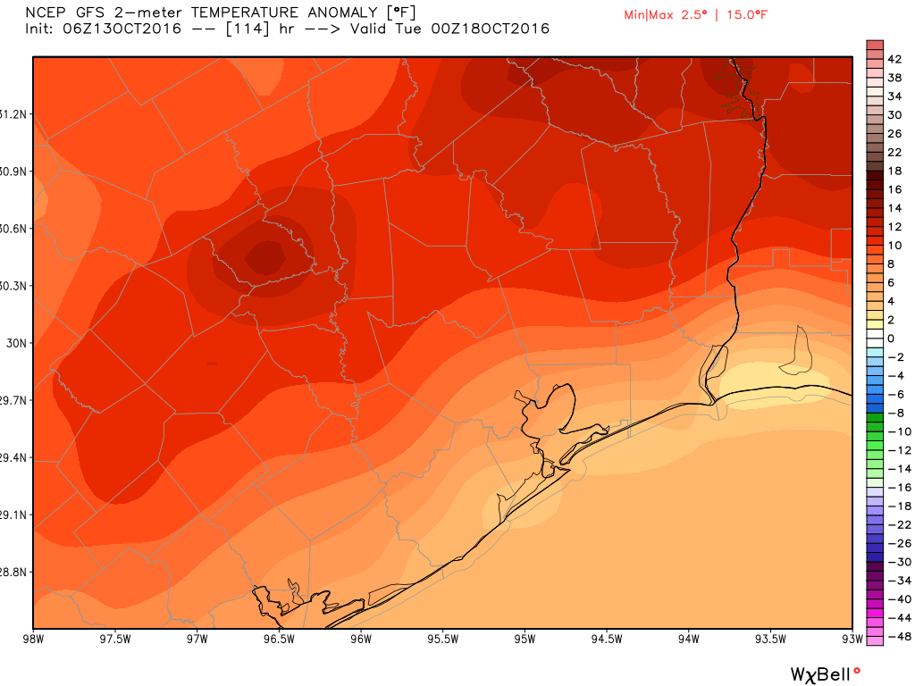
Hello, summer. A higher pressure moves back into the area look for several days of partly to mostly sunny skies with highs near 90 degrees, and lows in the lower 70s. Rain chances should be near zero. These temperatures will be a good 8 to 10 degrees above normal for mid-October.
Wednesday and beyond
The high pressure system should begin to break down to some extent by the middle of next week, perhaps by Wednesday or so, which could open up the area to some more rain showers.
Both the GFS and European model continue to show some kind of cool front finally reaching the area by next Thursday or Friday, which should at least knock overnight low temperatures back into the 50s. But until then, my friends, be prepared to sweat.
Posted at 6:50am CT on Thursday by Eric
Ummm, thanks?
What shall we call this strange twilight between Fall and Summer? One that stikin’ hot is not, yet provides no relief for the brow?
How about “Fummer”, which at least rhymes with “Summer”?
I mean “bummer”
Hi Eric,
Any thoughts on the system producing strong winds/rain in the Northwest? Is travel advisable this week to the PNW?
Not really, if you can avoid it.