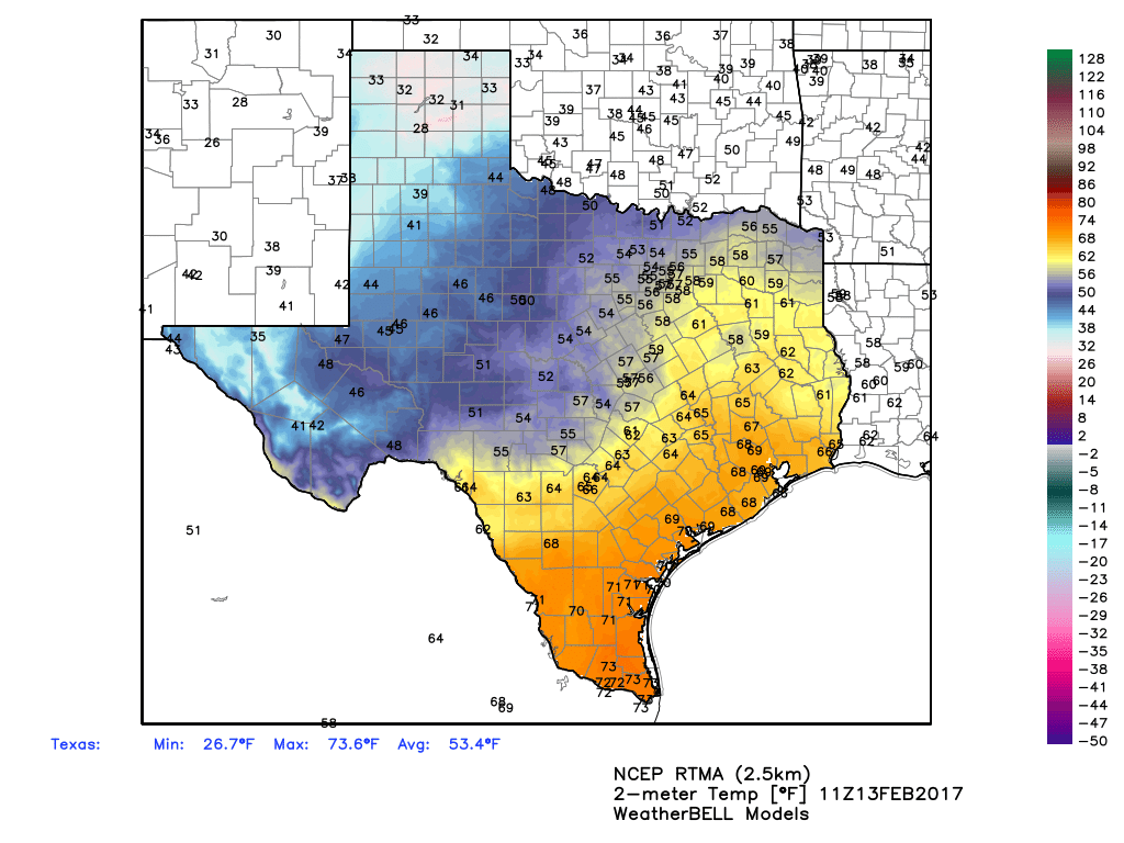
Good morning. As anticipated a cold front is approaching Houston from the west this morning, and will bring with it heavy rains, a tornado watch, and a chance of severe weather. You’ll need to pay close attention to weather conditions this morning. The storms will clear out this afternoon, and Houston will cool off for the remainder of the work week.
Today
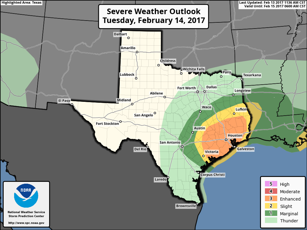
Due to favorable conditions for tornado formation, the National Weather Service has issued a tornado watch for the entire Houston metro area through 1pm CT today. One measurement of a storm’s potential to produce tornadoes is a parameter know as Convective Available Potential Energy, or CAPE, and values later this morning could run as high as 2000 J/kg in the Houston area. While this value is far from extreme, it means there will be enough instability for tornadoes to form. Tornadoes appear most likely between Interstate 10 and the coast.
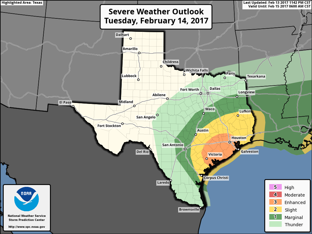
A line of storms should begin moving into western Harris County by around 7am CT this morning, and spread into most of the region by 8 to 10am CT. The most favorable conditions for tornadoes to form should be in place from around 8am to Noon. If your area falls under a tornado warning—issued when forecasters believe a tornado has developed and touched thr ground in a given area—please take shelter indoors, in an interior room, until the warning has ended.
The other primary threat from these storms this morning is heavy rainfall. Some of the heaviest storms could produce 1 to 2 inches of rain per hour, and isolated areas could receive as much as 5 inches of rain. While I don’t anticipate any home flooding, some streets in areas hardest hit could become briefly impassible later this morning and early this afternoon. Most areas will probably see 1 to 2 inches of rain, total.
(Space City Weather is sponsored this month by Darrell Lee’s The Gravitational Leap)