For once, the radar is mostly quiet this morning. The reprieve in showers won’t last too long, however.
Today and Wednesday
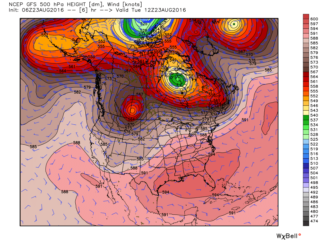
Pressures have risen over the Houston metro area as the region has fallen under the western edge of a large area of high pressure anchored over the southeastern United States. This is going to bring a couple of more typical August days to Houston, with highs in the low- to mid-90s, a fair amount of sunshine and some scattered showers during the afternoon hours.
Thursday
As the ridge retreats east a bit, and moisture levels rise, we should see a moderate increase in shower activity, with highs in the low 90s.
Friday
It appears as though the best chances for rain this week will come on Friday, as a few upper-level atmospheric disturbances force the moist air at the surface to rise. With widespread showers and thunderstorms possible, expect highs only in the mid- to upper-80s.
Saturday and Sunday
So what about the weekend? I think we’re going to be in the familiar pattern of mainly late morning and afternoon showers and thunderstorms—with perhaps 30 to 50 percent of the area seeing rain each day. There should be enough cloud cover to keep high temperatures around 90 degrees. I’m not worried about any significant flooding, but rain could temporarily put a damper on outdoor activities.
If you’ve been missing summer, there’s some evidence that sunnier weather may return next week, pushing highs into the mid-90s as we reach the end of August.
Tropics
Yesterday we had a comprehensive tropics post on Tropical Storm Gaston (pay it no mind) and Invest 99L (which remains interesting).
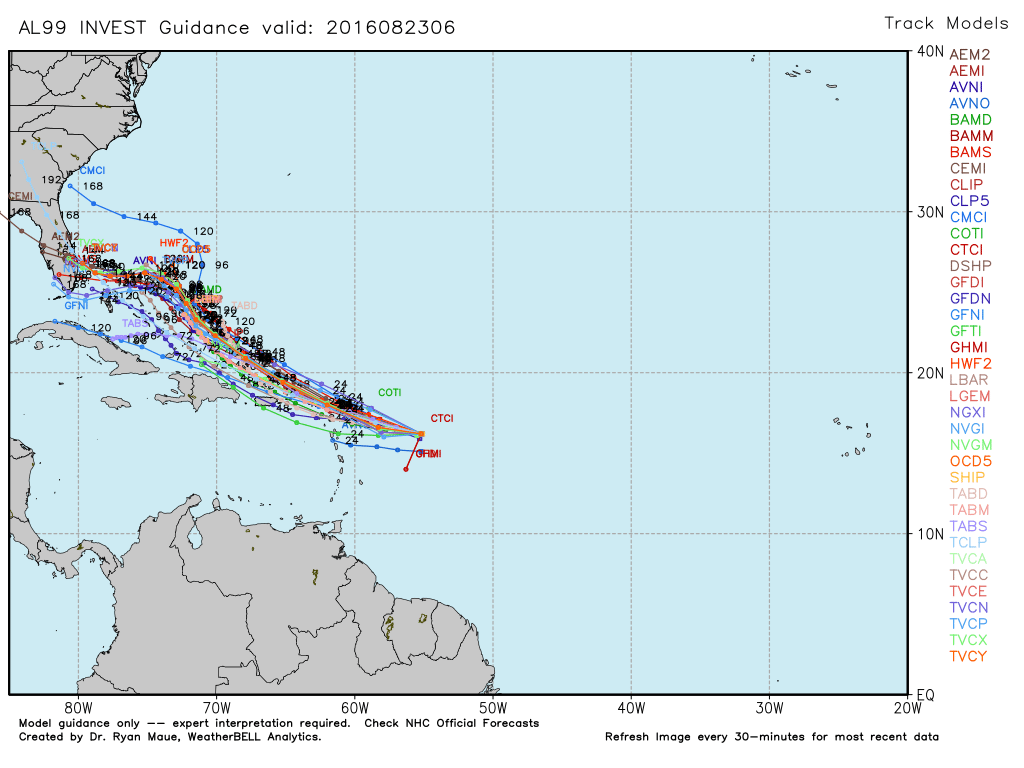
Track models today are in better agreement about the evolution of Invest 99L, which may well become a tropical storm during the next three to five days as it moves toward Florida. We’ll continue watching it (although it’s unlikely to be a Texas threat) and have an update this afternoon.
Eric –
Regarding the first graphic, if I remember right a hetcopascal is 1/10th of a kilopascal, so 500 hPa is about half an atmosphere at sea level. So over us right now, the pressure is about half a standard atmosphere at just under 6000 m (about 20,000 ft). Any particular reason for looking for the altitude at a certain pressure rather than graphing the pressure at a fixed altitude?