So, yeah, where’s that rain?!?

Well the rain totals so far sure have been underwhelming. Personally, I blame Matt. I go to Seattle for a couple of days and everyone starts busting forecasts around here. (Kidding! Matt’s great. Rain events like this are pretty notorious to try and forecast, in terms of pinpointing the heaviest rain, even though conditions really seemed to line up for this one last night). Anyway, let’s discuss what may be ahead.

TODAY

We’re still going to see intermittent periods of heavy rain, even though most of the action so far has been to the north of the Houston metro area. A flash flood watch remains in effect for the entire metro area through 6 p.m. and there’s certainly the potential for an additional 3 to 6 inches of rain between now and Thursday morning. But after this morning’s bust I am in no way calling definitively for that.

Houston woke up this morning asking: Where's the rain? I get that. Short answer: Not here. (Intellicast)
Houston woke up this morning asking: Where’s the rain? I get that. Short answer: Not here. (Intellicast)

See full post

National Weather Service issues a flash flood watch for Houston

As expected, the National Weather Service has issued a flash flood watch for the greater Houston metro area from noon Tuesday through Wednesday afternoon.

Area of flash flood warning. (National Weather Service)


The National Weather Service forecasts rainfall amounts of 3 to 7 inches for most areas, with isolated totals of up to 10 to 12 inches possible. The main time of concern remains Wednesday morning.

Update on storms expected Tuesday night and Wednesday

After taking a look at some the latest model guidance here’s an updated look at what to expect on Tuesday and Wednesday
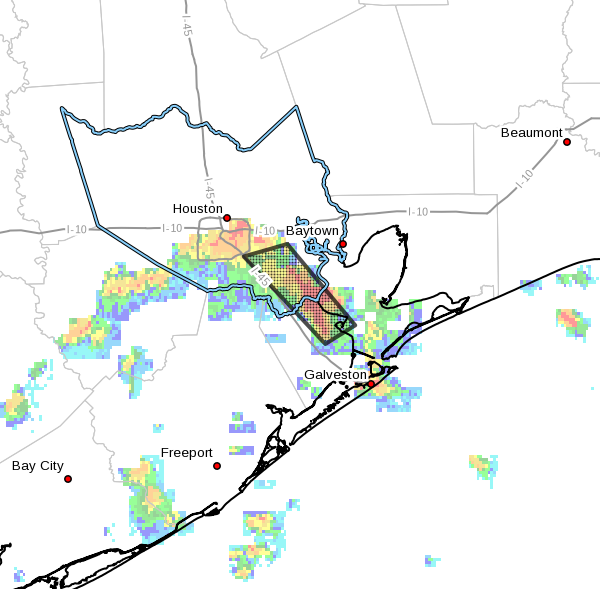
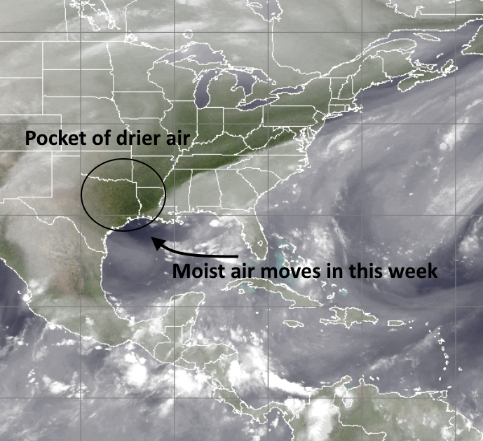
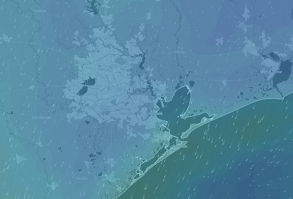
, which likely will be the worst times for storm activity in the greater Houston metro area.

TUESDAY

Right now I anticipate light to moderate rainfall on Tuesday afternoon, with most areas seeing between 0 and 1 inch of rain. There should not be too much trouble with the commute home on Tuesday evening. At some point between 6 p.m. and midnight we’ll see an increase in rain showers. Here’s why:

A low-pressure system will act like a vacuum cleaner to draw exceptionally high levels of moisture (seen here in precipitable water standard deviations) into Texas, Louisiana and Arkansas. (Weather Bell)
A low-pressure system will act like a vacuum cleaner to draw exceptionally high levels of moisture (seen here in precipitable water standard deviations) into Texas, Louisiana and Arkansas, and points further north. (Weather Bell)

See full post

After a winter of mild weather comes a potentially severe week

We’ve got lots to discuss about the week of weather ahead, so let’s get right to it this morning.

TODAY

We’ll see mostly cloudy conditions today as the wind ramps up out of the south, gusting as high as 25 mph. Temperatures will climb into the mid-70s. Rain chances will remain fairly low, however, due to a capping inversion. Expect lows tonight in the upper 60s.

TUESDAY

Those southerly winds will continue throughout Monday night and into Tuesday morning, raising moisture levels in the atmosphere. They will also increase tides along the coast by as much as 3 to 4 feet above normal, and the National Weather Service has issued a Coastal Flood Advisory. We should see increasing coverage of light to moderate rain during the afternoon hours on Tuesday, but the bigger threat comes Tuesday night.

NOAA Severe Weather Outlook for Tuesday and Tuesday night. (NOAA)
NOAA Severe Weather Outlook for Tuesday and especially Tuesday night. (NOAA)

See full post