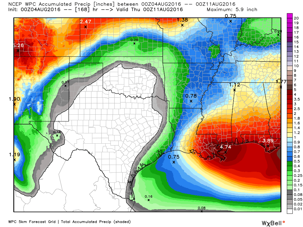
Houston will continue to face very warm, summer-like conditions this week, which is understandable since we’re in the middle of August. However we’ll at least see some moderate rain chances to break the heat up—and possibly better rain chances by early next week.
Today
A stalled front well north of the metro area, in the vicinity of Texarkana, may produce some storms moving toward Houston from the northeast later today, but it’s not clear they will get all the way to Houston. Areas from Cleveland to Liberty to Beaumont are the most likely to see any rain as highs rise to near 100 degrees. Accordingly, a heat advisory is in effect for all of the Houston area.
Tuesday through Thursday
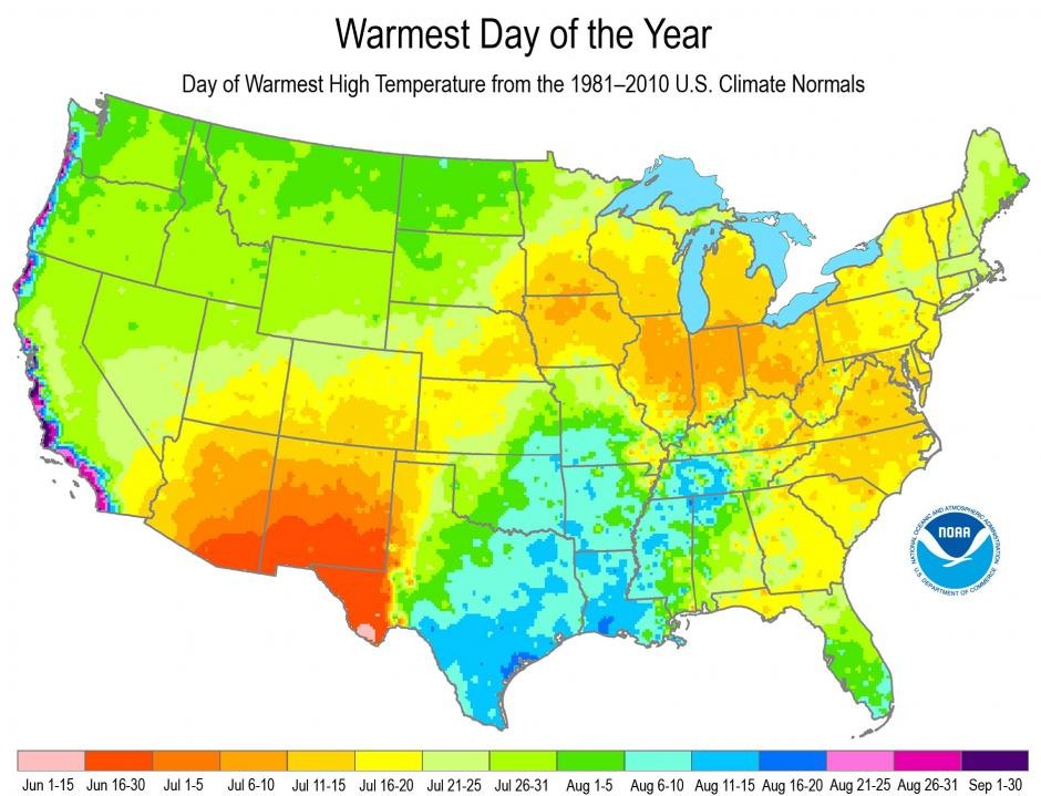
We’re going to see typical August-like weather for most of the work week, with highs of nearly 100 degrees, lots of sunshine, and the potential for some afternoon showers driven by the sea breeze. Low temperatures will remain unpleasant, likely falling to only around 80 degrees. More heat advisories are likely on these days.
Friday and Saturday
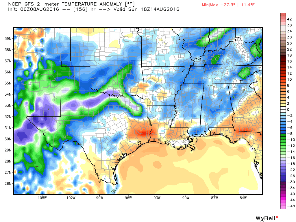
A cool front will march across part of Texas, likely stalling out over north-north central Texas on Saturday or so.


