Good morning, it’s a few degrees warmer this morning, but still dry and quite pleasant. The forecast remains fairly straightforward, so I’ll discuss that and then look ahead to when we might expect our first 90-degree day.
TODAY through SATURDAY
Another front will push through Houston today, which should keep our cooler, dry and sunny weather in place for a few more days. Expect sunny conditions with highs in the low 80s and lows in the low 60s through Saturday. When there’s high pressure like this we get calm weather.
SUNDAY
By Saturday we should see some moisture return, which could allow for a few high clouds to develop. It will also make for warmer mornings, beginning on Sunday. Still don’t expect any rain, however, as highs climb into the low 80s.
MONDAY through WEDNESDAY
The moisture from these southerly winds will bring rain chances back into the forecast, but we’re probably looking at a few tenths of an inch, not a few inches.
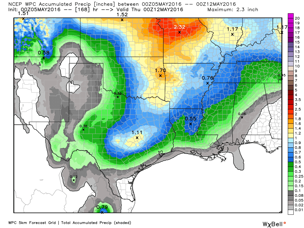
We will see warmer days, however, with highs in the mid- to upper-80s. And this raises the question of, how far are we away from the full onset of summer (which I consider to be 90 degrees and above)?
90-DEGREE CLIMATOLOGY
Houston has, in fact, gone through the entire month of May without recording a 90-degree day. According to the National Weather Service it has happened 13 times, with the last occurrence back in May of 1970. The other years this happened are: 1897, 1918, 1919, 1929, 1930, 1931, 1932, 1936, 1944, 1950, 1957 and 1965.
On average there are about 5 days of 90 degrees or better during the during the historical period in Houston, dating to 1889. However, from 1991 onward Houston has averaged 10 days of 90 degrees or higher during the month of May. Some of this is due to the station being located further inland at Bush Intercontinental Airport, the urban heat island effect as well to climate change.
Since 1981 the city has averaged its first 90-degree day on April 30th—so we’re doing good to be this late into the year. With luck we should make it another week. But all bets are off by the middle of next week. In Westeros winter comes, in Houston, Summer is Coming.
Eric, thanks as always for the wonderful information. Yes, enjoying the <90 while it lasts. It may only be me, but when I log into the website, the May 3 post is the first one showing. I can only see May 4 and 5 by going into May archive. Been like this for the last two days. Is this happening on your end also? (Maybe I'm the last human not viewing this on a smart phone.)
Doesn’t happen for me in a web browser. Are you coming directly to: http://spacecityweather.com/
It was doing the same for me. I hit Control + F5 to do a hard refresh, and that made it show the latest stuff.
This morning it’s working fine. Something got unstuck.
Well, I’m glad, but I can’t take credit for doing anything!
Was the same for me when I opened my browser. And yes, I’m going directly to http://spacecityweather.com/
When I hit refresh all the newer posts were finally loaded.
Thanks Eric and Matt for your incredible job. Love the site.
Eric, you said:
“MONDAY through WEDNESDAY
The moisture from these southerly winds will bring rain chances back into the forecast, but we’re probably looking at a few tenths of an inch, not a few inches.”
Is this a high confidence forecast?
No rainfall forecast four or five days out along the Gulf coast can ever be really characterized as a “high” confidence forecast.
Moderate confidence, then?
Yes.
From NWS.
ON MONDAY…AN UPPER LEVEL LOW OVER THE SOUTHERN ROCKIES WILL
APPROACH THE CENTRAL PLAINS. THIS FEATURE WILL DRAG A WEAK TROUGH
AXIS ACROSS NORTH TEXAS AND MIGHT CREATE ENOUGH FORCING TO
GENERATE SHRA/TSRA. FCST SOUNDINGS SHOW PW VALUES REACHING 1.77
INCHES…CAPE VALUES NEAR 2000 AND A WEAK BUT BREAKABLE CAP. JET
DYNAMICS LOOK WEAK BUT THE TROUGH AXIS AND AVAILABLE MSTR WOULD
SUGGEST AT LEAST CHANCE POPS ARE WARRANTED WITH THE HIGHER RAIN
CHANCES TO THE NORTH…LOWER SOUTH IN THE MORE STRONGLY CAPPED
AREAS. RAIN CHANCES LOOK PALTRY TUE/WED AS CAPPING STRENGTHENS…
850 TEMPS WARM TO NEAR 20 C AND PW VALUES LOWER TO 1.30 INCHES.
SOUNDINGS SUPPORT TEMPS IN THE LOWER 90S AND WILL LEAN TOWARD THE
WARMER SIDE OF GUIDANCE FOR TUES/WED. WILL MAINTAIN LOW RAIN
CHANCES TUE-THU BUT MSTR LEVELS DROP AND JET DYNAMICS REMAIN WEAK
SO WILL ONLY MENTION SLT RAIN CHANCES AT THIS TIME. 43
If you have cape values near 2000, does that mean severe thunderstorms are possible to likely, Eric?
It means moderate instability. Can’t rule out some thunderstorms north of Houston but it’s not something I’d get worked up about right now.
Hey, I won’t get worked up over thunderstorms NORTH of Houston. But, I won’t lie to you, Eric. I’m still not over what happened on April 18. I’ll bet not a lot of Houstonians are, either.
And I won’t lie to you either.
Hi Eric,
I believe you can add 2014 to the list of ninety-less Mays. The difference with that year, however, is that we actually had our first 90 degree reading in April and then the second occurrence did not happen until June 4.
Thanks!