In brief: The heat goes on. And on. Houston is also dealing with a good bit of haze and smoke in the air from Central American agricultural fires, common in late spring. We remain cautious about a brief cool front next week, however.
First, a quick programming note. As summer is now underway in Houston, look for the Space City Weather summer outlook later this morning from Eric!
Haze, haze go away
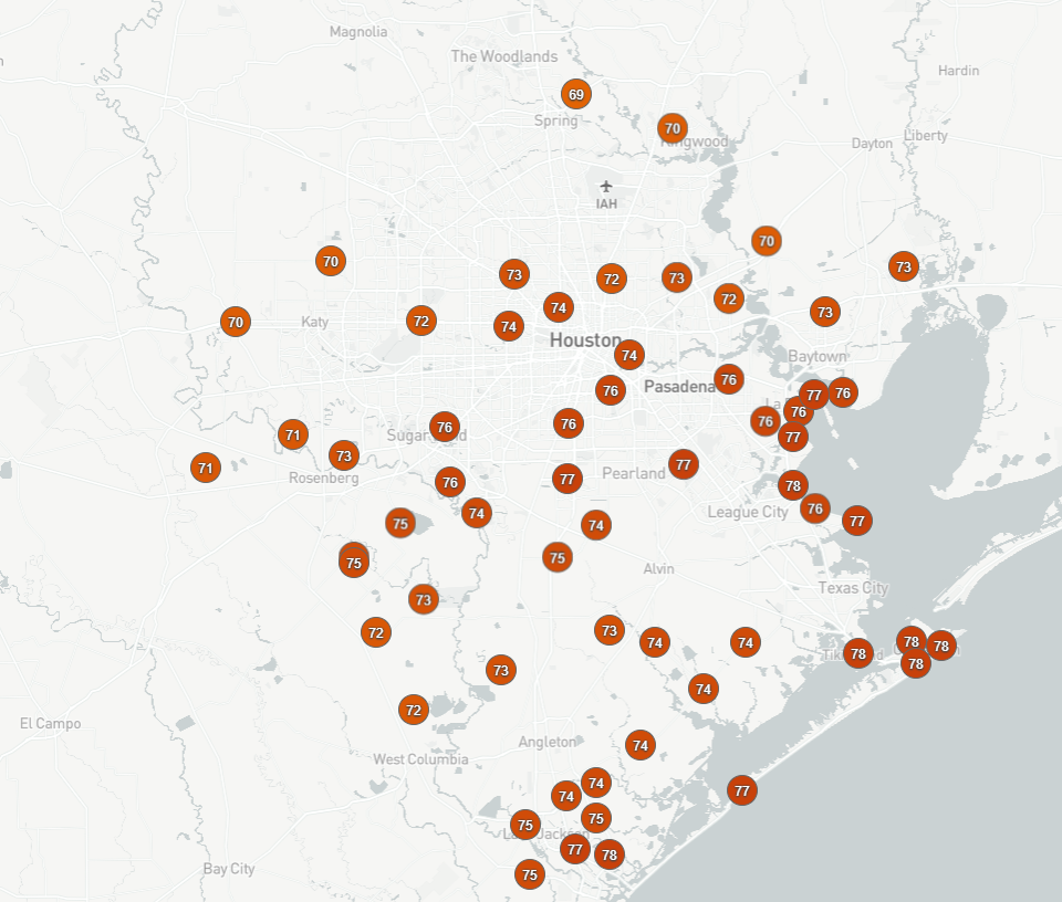
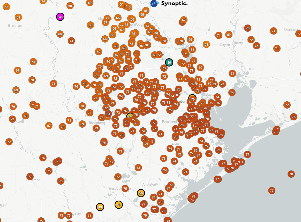
Temperatures this week, while very, very hot have actually come up a couple degrees short of forecasts for the most part. Not by like 10 degrees or anything but something on the order of 1 to 3 degrees. Why? Almost certainly because of the low clouds and haze that have been ever-present over the area.
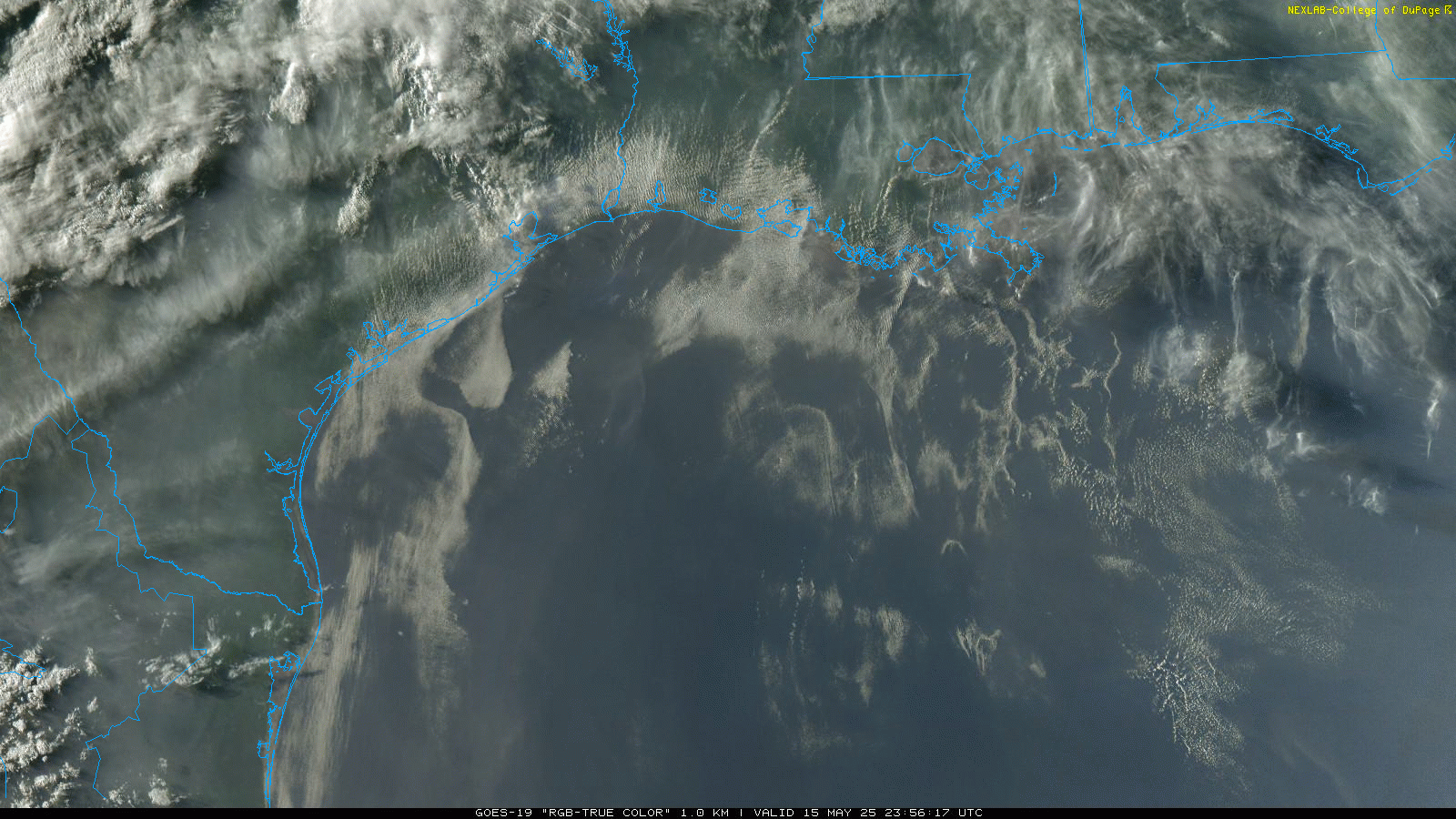
Why the haze? Well, this is the time of year when agricultural burning is ongoing in Mexico and Central America. How much? A lot.
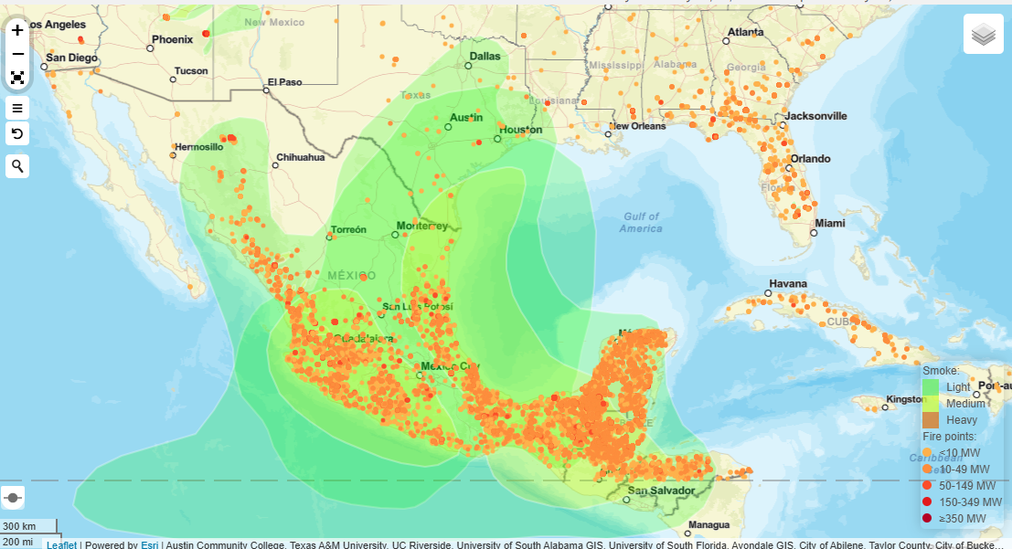
With winds out of the south across the Gulf, this will transport all that smoke into our area. This is a common issue here in Texas this time of year, but it feels a little worse because of how hot it is so early. Whatever the case, given the number of fires ongoing and the amount of smoke already in the air to our south, I do not expect that this haze will relent anytime soon.
Today through Sunday
The heat continues. We may begin to push heat advisory criteria at some point soon. We’ve had a couple bursts of drier air this week that helped keep heat index values mostly in check (we did touch 100° for heat index at both IAH and Hobby yesterday briefly). While that could continue, we should begin to see a bit less wind. Overall, it will just start feeling a little more uncomfortable today, tomorrow, and perhaps Sunday. Expect highs in the low to mid-90s all three days with clouds, sun, and haze.
Rain chances are pretty close to zero, however, if you live around Brenham, Navasota, or Huntsville, it looks like there will be scattered thunderstorms firing up to your northwest on Friday afternoon. I would not be shocked if some of those make an attempt to reach these areas this evening. Just something to note.
Next week
Monday and Tuesday will probably just serve as an extension of the current weather pattern. So look for clouds, sun, haze, and 90s.
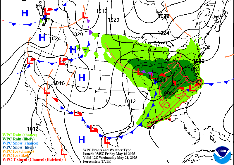
Now, later Tuesday there could be some showers or thunderstorms around closer to the area. And this continues to look like it *may* come with a brief front. If that can happen, it would still be rather hot on Wednesday, but the front would take a huge bite out of the humidity, in addition to cooling off our nights a bit. Will it happen? <Cue: Dramatic music> Find out Monday on the next edition of <studio audience cheering> SPACE! CITY! WEATHER!