In brief: Houston will see pleasant weather through Saturday before humidity surges back with a breeze on Sunday. A narrow line of thunderstorms accompanies a cold front on Monday, but the truly cool to cold air will lag behind by a day or so, arriving Tuesday night. By Wednesday, we may limp into the mid-60s for highs. It will feel like autumn.
Just a quick reminder to folks that our fundraiser kicked off yesterday! We are grateful for whatever support you are able and willing to provide, and thank you to those that pitched in on day one! I have to admit that astronaut t-shirt is <chef’s kiss>. Thank you so much again!
Today
It has not been as cool as it was yesterday morning and this morning in three or four weeks. Whatever the case, temperatures are generally in the 50s this morning once more.
We’ll see highs punch up into the mid-70s this afternoon. A light jacket should do this morning if that’s your thing. Overall, today looks wonderful.
Friday and Saturday
Tonight should be even a bit cooler than we’re seeing this morning. Look for lows down to near 50 degrees in Houston which means 40s in many suburbs and outlying areas. Highs will poke into the mid-70s again tomorrow, followed by mid-50s for lows and upper-70s for highs on Saturday. Both days look mainly sunny.
Sunday
Humidity will slowly return on Saturday, but you won’t really notice it until Sunday. You will also notice the wind on Sunday. Onshore winds pick up, gusting at times to 25 mph or so, perhaps even a little stronger over the water. Morning lows Sunday will start off in the 60s to near 70, warming up into the 80s for highs.
Monday through Wednesday
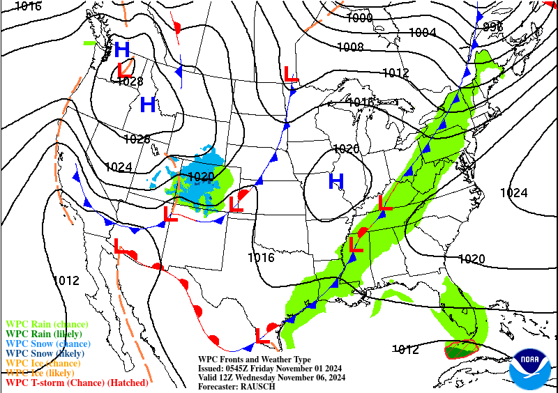
The forecast gets a little trickier next week, particularly trying to time everything out. A cool front is going to likely crash through the area Monday. It’s still too soon to say what it will bring, but the model signals seem to be hinting at a broken line of thunderstorms or a very narrow line of heavy showers and gusty winds. I wouldn’t entirely rule out some severe weather Monday, but it’s not the most likely outcome right now. We’ll keep an eye on things.
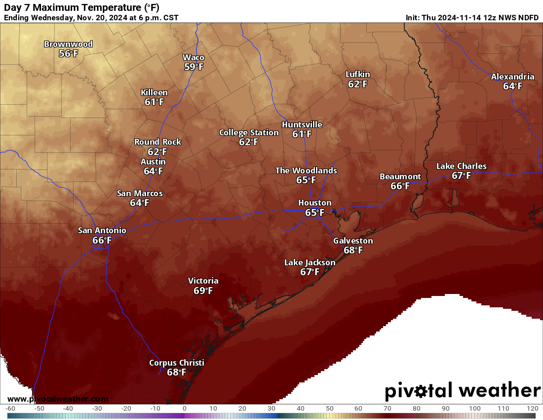
In terms of temperatures, it gets a little wonkier. The coldest air will lag the front by a day or two. So with the front crossing Monday, look for lows back into the 60s Monday night. Tuesday will be warm, and it should be a bit less humid. High temperatures will be well into the 70s to near 80 degrees. Then on Tuesday night, our first dose of colder air arrives, knocking us back into the mid-50s. And on Wednesday, even with oodles of sunshine, we will probably only do mid-60s at best. We’ll likely follow that with 40s Wednesday night and some wind to make it feel even colder. We may do 60s and 40s for a few days in a row, so it will feel more fall-like about a week before Thanksgiving.
Tropics
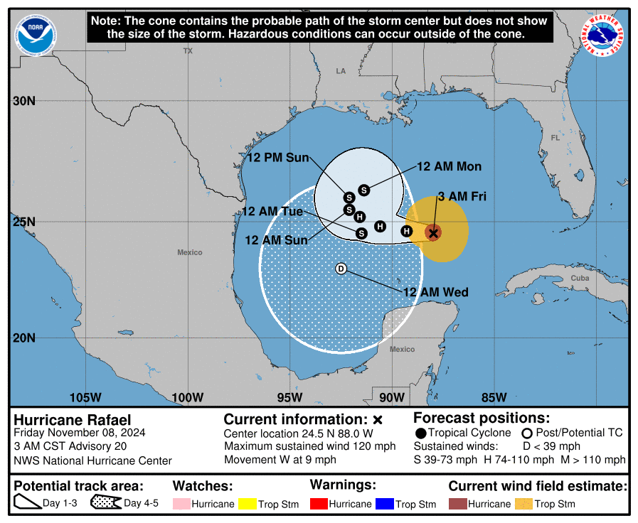
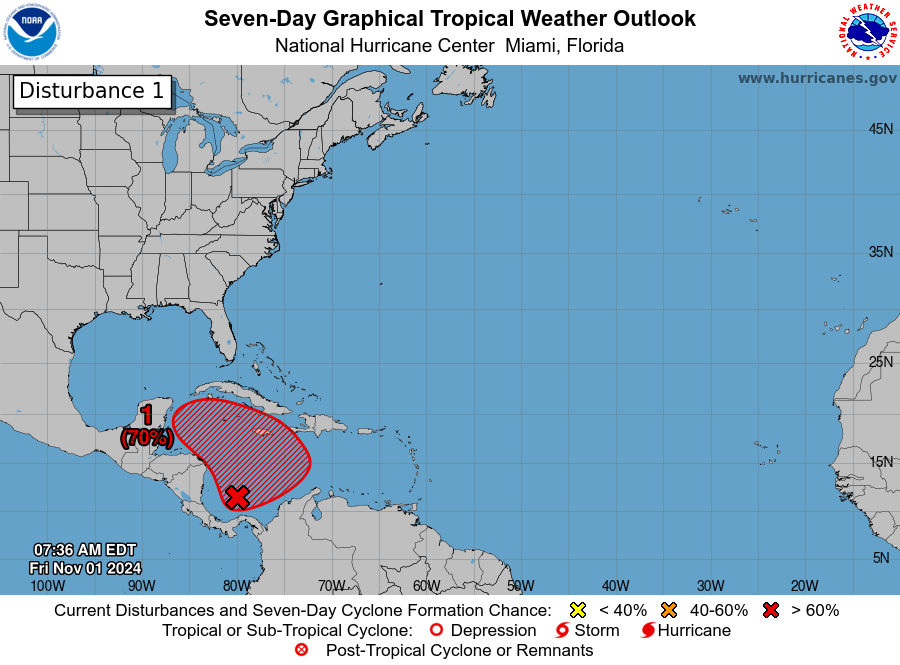
There remain no concerns from Potential Tropical Cyclone 19 (likely Sara later today) for Texas. Fronts will keep us safe. But PTC 19 is going to deliver some pretty rough weather to Central America, particularly in coastal Honduras, where upwards of 20 inches of rain is possible.
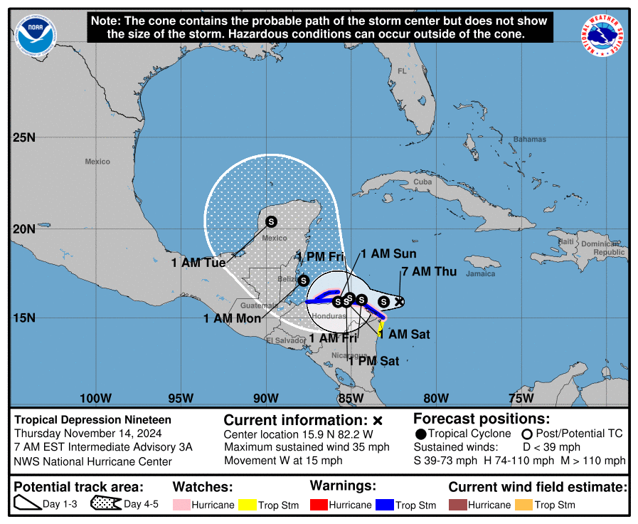
If you have trips planned or family back in these areas, keep an eye on Sara once it forms. There will likely be serious flooding in portions of Honduras, and if the storm wobbles offshore longer, they could also be dealing with a hurricane down there. Eventually this turns north toward the Yucatan, probably late in the weekend. It will then get caught up in the big cold front next week and kicked toward Florida. If there is good news, the odds of a major hurricane striking Florida are quite low now. Look for more at our companion site, The Eyewall in a bit.