Well, the break was nice while it lasted. Hope everyone got to enjoy yesterday’s mid to upper-70s and sunshine. Today starts another transition.
Today and Friday
We’re starting with fog or low clouds across parts of the area this AM. Low clouds seem more common than fog at the moment until you get to Louisiana. But we’ll start today with a mix of sun and some of these low clouds. A nice, sunny start is in the cards north and west of the city.
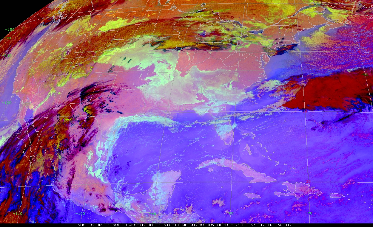
There could be a sprinkle or shower around as well, but it won’t be anything serious. Temperatures will top off in the mid or upper 70s once more this afternoon. Cloud cover may cap how warm we get in spots though. Onshore flow is back in style, and you’ll feel it today. Expect humidity to trend upward through the day with dewpoints climbing out of the 50s and into the mid or upper-60s by evening. That means dense fog will once again be a possibility tonight, though a bit of a breeze may allow the fog to be less prevalent than we saw earlier this week.
Temperatures will only drop off into the mid or upper-60s tonight, or about 20 to 25 degrees above normal for this time of year. After a warm start, Friday looks like a mix of clouds, fog, and a slight chance of rain showers. Expect temps to hit the mid or upper-70s once more. We could do 80° with just a little bit of sunshine. The chance of rain will increase as we get closer to evening. Expect a period of steady rain or showers later Friday night into Saturday morning. There could be a thunderstorm thrown in, but overall no serious weather is expected with this front.
Saturday
Behind Friday night’s front, expect clouds and showers to linger early Saturday. Clouds could clear out from northwest to southeast on Saturday afternoon. Temperatures will be notably cooler. Expect the morning to start with upper-40s or low-50s only warming into the upper-50s to perhaps around 60° Saturday afternoon.
(Space City Weather is brought to you this month by the Law Office of Murray Newman)
Christmas Eve & Christmas Day
Alright, so let’s get the easy part done: It’s not going to snow. Or ice. Travel weather looks trouble-free for trips around Texas or Louisiana on Christmas Eve or Day with the nearest frozen precipitation to Houston being some light snow in northern Arkansas or Missouri.
Of course, that doesn’t mean the forecast is easy. A reinforcing cold front is still on target for Sunday night. It will be a dry front, but it will usher in gusty north winds and colder temperatures for Christmas Day.
So Christmas Eve will start in the lower or mid-40s. We’ll warm up on Christmas Eve afternoon to the 60s with mainly sunny conditions. There’s still a bit of disagreement as to how warm it gets here, but in general, low or mid-60s seems reasonable. Behind Sunday night’s front, expect temperatures to drop into the 30s, likely staying above freezing Monday morning.
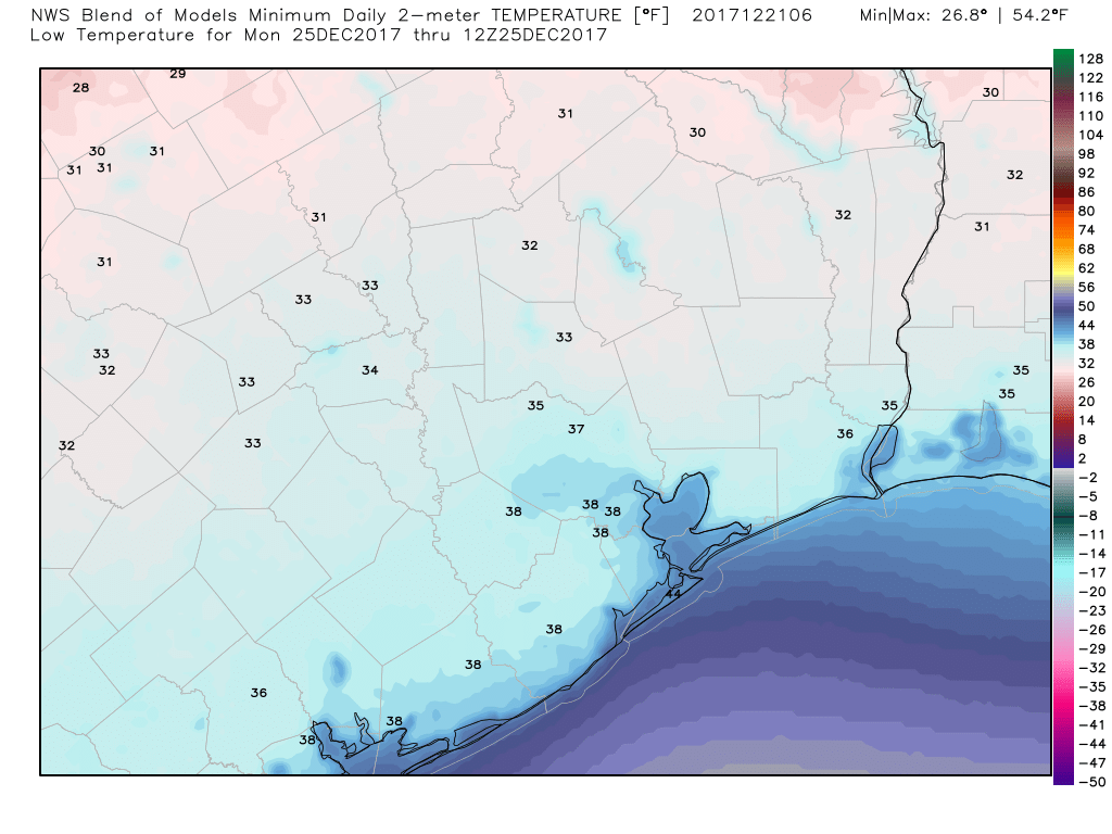
Christmas Day, blustery and cold early, will end up nice, with highs in the low-50s that afternoon under sunshine. Christmas night into Tuesday morning? I’d expect upper-30s to mid-40s across the area (coldest northwest, mildest southeast).
Beyond Christmas
The weather gets gnarly again after Christmas. Onshore flow kicks back in later Tuesday and Wednesday with warming temperatures. Details are still very much TBD, but it’s likely a rinse and repeat, roller coaster pattern of what we’ve seen a lot of lately. Expect warmer temperatures midweek, followed by chances for fog, showers, thunderstorms, and eventually colder temperatures later next week or weekend. We’ll fine tune details for you after Christmas.
It would be nice to actually find out what happened during our snow event in early December…
How we got all levels of the upper atmosphere to be below freezing…As you know most upper level systems bring in warm air aloft and we get cold rain…Also why long range models didn’t show any signs of winter weather….As you know, snow was suppose to be below I10 and how College Station got the most 5″ !!! A nice discussion by you or Eric would be nice to hear…
Thanks and Merry Christmas to both you and Eric Matt…
There was an outstanding article written about Eric Berger in WIRED (on line) ..
(https://www.wired.com/story/unlikely-hero-who-predicted-hurricane-harvey-floods/?mbid=nl_122017_daily_list1_p1)
Hats off to someone who tells it like it is, and with words and feelings that we all can understand. Yes, weather predictions are a science, but he did lead us through a pretty bad period of awkward meteorology with more confidence than those on TV… Hats off to an “unlikely” hero!
Great reading to hear what really transpired.
Good article. Thanks for the link. A little eerie to read excerpts from those old posts that we all read during those dreaded days. But so thankful for Eric and his straightforward, reassuring words during that scary time.
Ugh, yes, get this ass-nasty warm garbage out of here and give me back my precious, rare winter. Today and tomorrow look positively miserable.