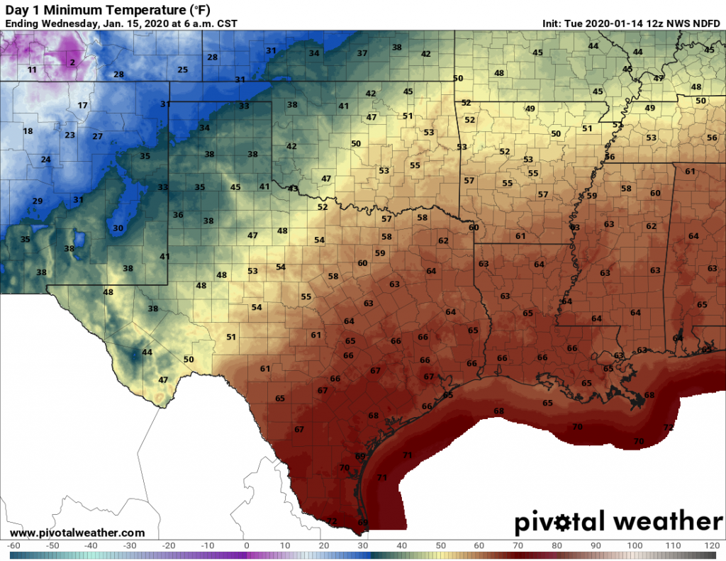
Our blah weather will continue for several more days before a front brings a reprieve next weekend. Expect foggy mornings, cloudy days, and warm nights to persist through Saturday before a merciful front works its way into Houston.
Tuesday
It is quite foggy this morning, and the National Weather Service has issued a dense fog advisory until 10 a.m. due to low visibility. Please take care driving in these conditions. On Monday, showers were most pronounced near the coast, but today they will move farther inland. Beyond that, I have little confidence in rain totals today. Some models show almost no rain over Houston, while some bring up to 2 inches in places like Baytown. I don’t think we’ll see that, but it’s going to be a gray day with a healthy chance of showers. Highs are going up into the mid- to upper-70s, with low in the upper 60s. Like I said, blah.

Wednesday
The only good thing I can say about Wednesday, which will be gray and warm, is that rain chances are quite a bit lower—in the 10 percent chance. Fog remains likely, however, with very light winds and warm air moving over colder water.
Thursday
More of the same. Rain chances will edge back up a bit, but at this point we’re not expecting anything to write home about. A cold front will approach the area, but probably stall north of the area on Thursday. Right now, it appears the front will get to about the northern edge of Montgomery County before retreating quickly back north. Bottom line, there’s a chance of some briefly drier and cooler air to make it into northern parts of the region. For the rest of us, you guessed it: Highs in the upper 70s, clouds, fog, and warm nights.
Friday and Saturday
More of the same, but a front should finally move through the region sometime on Saturday. Right now the model consensus seems to time it between Noon and sunset on Saturday, but there remains some wriggle room in the timing. It appears as though some light rain could accompany the front. Can’t rule out some thunderstorms, but we don’t expect anything serious. Cooler and drier air will move in pretty quickly behind the front.

Sunday
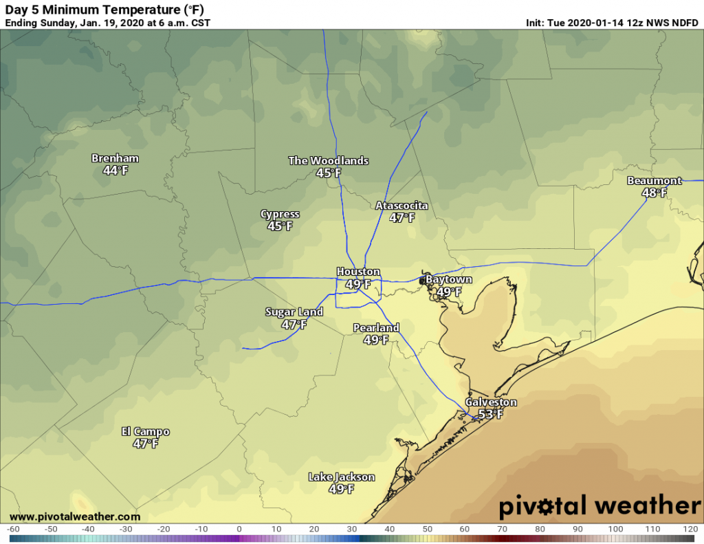
The weather for Sunday, and the Houston Marathon, continues to look pretty good if the forecast holds. As we get closer to Sunday confidence is increasing in a cool morning. I’m still expecting start line temperatures between 45 and 50 degrees in downtown Houston, with clearing skies. Highs by noon probably will work their way into the upper 50s. The one concern I have right now is winds, which may blow out of the north at 10 to 15 mph, with gusts near 20 mph. (We’re still five days out, so some of this will change). Lows Sunday night will drop into the mid-40s.
Next week
A reinforcing front appears likely to arrive on Monday, setting the stage for the return of winter, with highs in the 50s, and lows in the 30s and 40s. Still time to work out the details as we get closer.

One person’s blah weather is another person’s good weather.
Don’t think many of us would call dense fog/rain and unseasonably warm good weather, but glad you are able to enjoy it!
Sorry. I pushed “send” too soon. I love the rainy weather, though. A good day is all a matter of perspective,I guess. I do like it a little cooler, but it doesn’t feel blah to me. I love a sunny day, too, but I like a mix. To each their own, I guess. Just taking up for non-sunny days. 😊
This is why the folks in Portland Oregon do so much skiing. The only way for them to see the sun is to get above the clouds. We don’t have that option around here.
I’ll take this over 90 and humid,
Hear, hear.
is there a chance for snow within the next 7 days for parts south/central texas? the latest 12z runs of the models seem to pinpoint it for tuesday/wendsday of next week
Which model is showing this?
right now GFS and ICON models are showing it between hours 168 to 192
I see it in icon, little blue patch over north houston. it’s strange that it shows rain over Amarillo but snow here.
i checked the ecmwf EURO 12z model and it is also showing a big chunk of texas with wintry mix/snow, can only see it as far as 12pm monday but it’s a sign that something may be coming because 3/4 of the biggest models are showing wintry precip somewhere in texas but all 4 show a huge chunk of moisture for early-mid next week