Good morning. Today’s the day we begin to descend further into winter for the rest of the week, and we’re also going to see an end to the gray-clad skies that have been with us for a long time.
TODAY
A large upper-level low pressure system over the Midwestern United States is going to be the driver of Texas’ weather today. As this system moves eastward, it will usher in a colder air mass, drier air and — eventually — clearing skies.
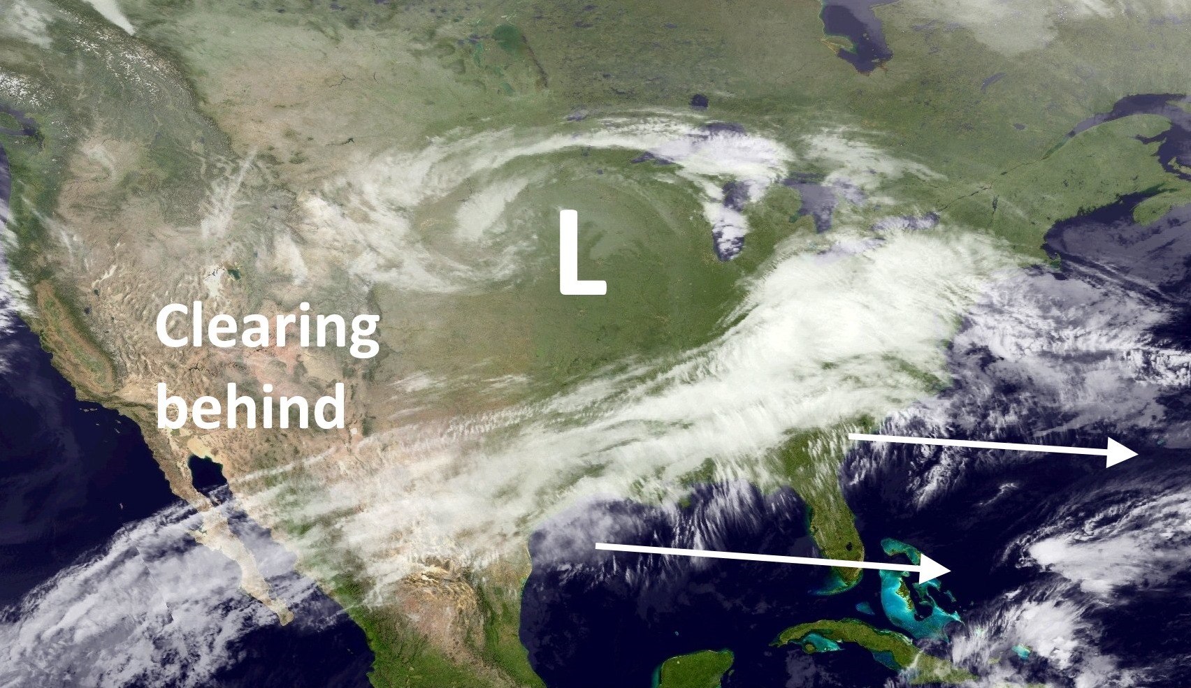
Some additional light rain will be possible with this system as it moves through this morning, however even this modest precipitation should end by the afternoon hours. For clearing skies we will probably have to wait until tonight, or Wednesday morning.
WEDNESDAY-SATURDAY
As clouds clear on Wednesday we should see mostly sunny skies through at least Saturday morning or afternoon. The northerly flow and clear nights should lead to fairly cold conditions, as well. Expect high temperatures to peak around 60 degrees, give or take, through Sunday.
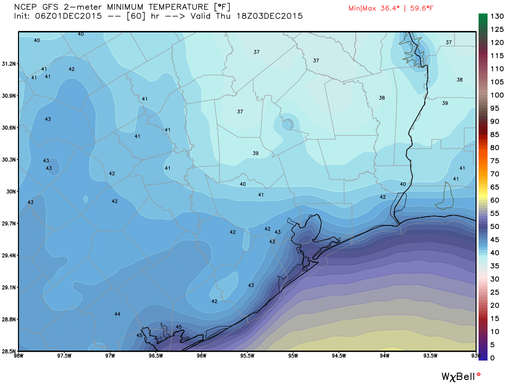
Lows will be around 40 degrees, colder north of Houston and warmer near the coast. This should be great weather for getting into the holiday season.
SUNDAY and BEYOND
Some clouds may return on late Saturday or Sunday, as well as some slight rain chances on Sunday. But for the most part I think we’ll remain clear and cool through Monday or Tuesday.
TUESDAY HAIKU
By popular demand, and memory permitting, I’ll write a haiku on Tuesday mornings.
The haikus are back
just in time for drier air,
chilly, fireside nights
Weather forecasting
need not be dry and chilly
poetry adds warmth
Thank you for bringing back the haikus….