In brief: In today’s post we discuss the pattern that will bring slightly cooler weather and improved rain chances over the several days. Monday continues to look like the day when the region will see its most widespread rainfall, but even then many will probably be disappointed. Major heat looms on the horizon.
Quick August status update
We are now 16 percent of the way through August, if you’re keeping track. And I am. The good news is that we are going to see a bit of a break in temperatures over the weekend, and possibly even some scattered rain showers as high pressure relents a little bit. The bad news is that the latter half of next week (and beyond?) still appears likely to see the return of a stout high, and a period of very warm temperatures.
Thursday
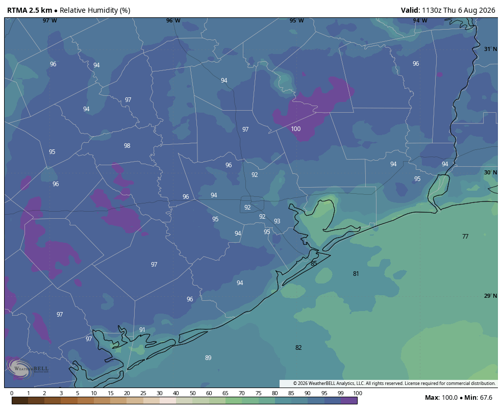
This will be another day that in some ways will similar to what we’ve experienced so far this week: sunny, with high temperatures in the upper-90s for most inland areas. Coastal locations will see daytime temperatures that are a few degrees lower, but it’s going to be hot and humid everywhere. However, one change is that conditions are a little more favorable for the development of showers and thunderstorms this afternoon. Most of us probably won’t see any rain, but localized downpours may produce 1 inch or more. These showers are most likely to develop during the afternoon and early evening hours, with peak heating.
Friday, Saturday, and Sunday
Highs over the weekend will be a few degrees lower, perhaps in the mid-90s for most of Houston. Overnight lows remain warm and muggy. We are likely to see mostly sunny skies most of the time, but each day will likely have a roughly 30 percent chance of afternoon and evening showers and thunderstorms along the sea breeze. These will be hit or miss, again, so expect the potential for some localized downpours.
Monday
This will probably be the “coolest” day of the period, with partly cloudy skies and highs perhaps only reaching the lower 90s for most locations. With high pressure likely at its weakest, we have a chance of more widespread showers on Monday, but just how widespread remains a question. We shall see.
Rest of next week
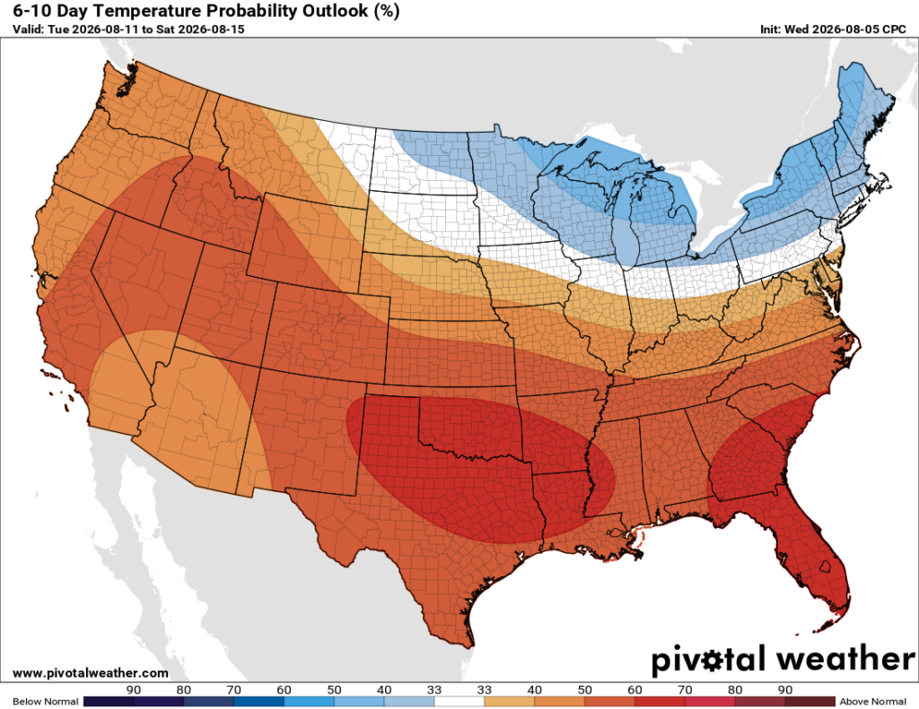
After Monday or Tuesday, our temperatures are back on the upswing. Highs will be in the mid-90s, then the upper-90s, and eventually possibly even back into the 100s. Rain chances will correspondingly decline. This very hot pattern persists at least into next weekend. The only note of hope that I can offer you is that, by that point, August will be half over.
