After two consecutive 100-degree days are you ready for a bit of a reprieve? I thought so. And fortunately, cooler and especially wetter weather is at hand. Change is coming.
Today and Tuesday
Much of the area is likely to see rain showers today, Tuesday—or both. We’re seeing increased atmospheric moisture levels in combination with some lower pressure that should lead to much-needed rain. The most likely time for showers is after about 1pm through the late afternoon hours.
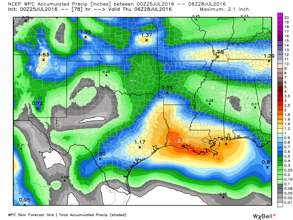
Although with these moisture levels we can’t rule out some locally heavy rainfall, with rates of 2-3 inches per hour, conditions aren’t going to be ideal for these kinds of deluges. As a guess I’d say most of the area will receive about 1 inch of rain, plus or minus, over the next two days. High temperatures, accordingly, should only rise into the low 90s.
Wednesday
The midweek is a bit of a wild card as moisture levels are likely to fall a bit, but more upper-level storm systems should continue to move into the area. Much of the region will probably at least see some additionaly light rain, and we could see more widespread, moderate showers. Hard to say for sure, but temperatures should remain in the low 90s.
Thursday through Monday
The good news is that rain chances aren’t going to go right away during the second half of the week. Some high pressure will begin to build back over the southern United States, but it is not going to settle right on top of Texas and squeeze off rain chances for the Houston metro area.
Instead I think we’ll see a return of temperatures into the low- to mid-90s, with 20 to 30 percent rain chances during the afternoon hours. For the end of July and early August that is not a bad place to be at all, I would say, especially after what we’ve come through this month.
I knew my rain dance would work.. but my neighbors still think i’m crazy.
I’ll take it!
Easy for you to say, Katie. My house lost power for a few minutes during the deluge. It came back on and then blinked. I KNOW I’m living in the wrong city when rainstorms are considered good weather!
Eric, I might point this out:
NWS says:
Tuesday…
Tomorrow, focus turns towards the upper trough that`s
worked its way across the Gulf and will finally approach the area.
Have actually trimmed PoPs down for tomorrow, as now even the
wetter guidance has trended downwards. This seems reasonable, as
it appears both from water vapor imagery trends and in the models`
height fields that the base of the trough may only glance by to
our south. This creates a scenario in which the rainfall shield
passes over the waters of the Gulf, leaving the land drier. On one
extreme as seen in the Euro, convection is still able to break out
across the area. Some guidance enhances convection along the
seabreeze, but showers are harder to come by elsewhere. On the dry
end, like the NSSL WRF ensemble and Texas Tech WRF, even seabreeze
convection is a bit harder to come by. Still, even the drier
guidance keeps perceptible water above 2 inches and so am not
buying into a very dry scenario. Maybe wouldn`t expect quite the
same production as this afternoon, but will count on at least a
fair amount of convection breaking out Tuesday. As one might
expect, temperatures in such a scenario will be near or below
normal. But, it`s worth noting that these temperatures will be too
low if a drier, less cloudy result does occur.
Eric, is it true that the ECMWF is projecting the arrival of an easterly tropical wave in SE Texas by the first week of August? Say it ain’t so!
It’s time to start paying more attention to the tropics, but I wouldn’t put much stock in such a long-range forecast.