We can now say with increasing confidence that some sort of cool front is coming to Houston, but it does not appear to be a classic, blow-in-from-the-northwest type of system that will knock down humidity and temperatures within the span of a few hours. Rather, drier and eventually cooler air should move into the area rather slowly, over a period from Monday to Wednesday. But something is better than nothing!
Today
Scattered showers over the Gulf of Mexico this morning should migrate in later today, with periods of sunshine and clouds, and scattered showers. Still warm and muggy, with highs near 90 degrees and lows in the mid-70s.
Sunday and Monday
Rain chances will be higher on Sunday and Monday, as moisture pools ahead of the front. Can see most of the area getting between 0.5 and 1.5 inches, with the potential for greater amounts in isolated areas. The “front” might move into central Texas on Sunday night, and will approach the western fringes of the Houston metro area sometime on Monday, probably during the morning. However it is unlikely that much of Houston will see drier air until late Monday at the earliest.
Tuesday
As some drier air moves in rain chances should fall, although probably won’t go away entirely. Highs will likely be in the upper 80s. Lows may be anywhere from the low 60s to the west of Houston to the upper 70s near the coast.
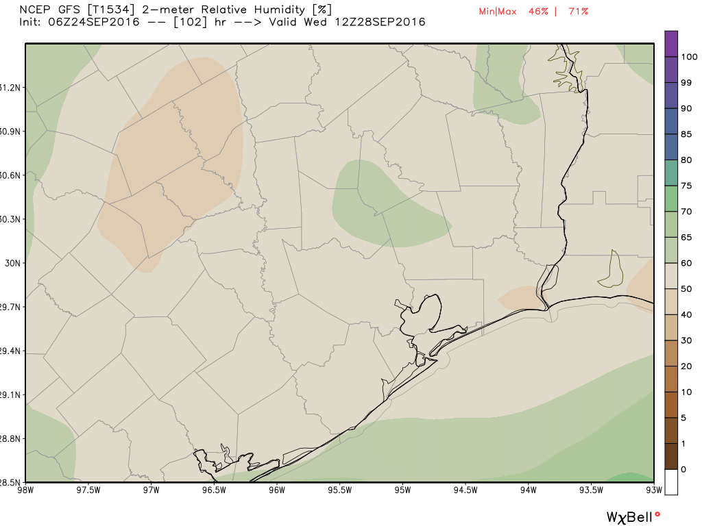
Wednesday through Friday
At this point drier air should finally work its way more fully into the area, bringing us mostly sunny skies. I don’t think the global forecast models have a great handle of temperatures yet, but it seems likely we’ll see highs in the 80s (low or high, not clear), and lows in the 60s (again, could be low or high). Although it won’t be cold, the cooler, drier evenings and mornings should nonetheless feel great. And once the first front comes through, it’s easier to get the second one.
Posted on Saturday at 8:10am CT by Eric
THANKS FOR YOUR UPDATED INFORMATION! So exciting to know fall is coming to Houston! We’ve been blessed this past summer, could be much worse!
Oh how I would love to see/feel a blue Norther
The GFS is showing a significantly stronger front coming through in about two weeks. We might hope for such a scenario.
Yes!
Eric, why is it easier to get a second cold front once you’ve had one already?
It just means that we’ve fallen into a more fall-like pattern, with the polar front jet stream dipping further south, and allowing for the more southerly flow of cooler air. Essentially, this is the door opening.
There is a disturbance in the Atlantic which is expected to form into a depression and head into the Caribbean. Wouldn’t it be unusual to have a storm in the Gulf this late in the season?