Summary: A front will blow through Houston this morning to bring a surge of much drier air into the region. This will result in a couple of cooler nights. We’ll also see the return of some light rain showers on Thursday night, but the weekend should yield some sunshine.

Wednesday
A cold front will push into Houston this morning to displace the muggy air mass overhead. Temperatures will drop only a few degrees initially, but dewpoints will fall off a cliff. Skies will remain mostly cloudy. We should see wind gusts jump up above 30 mph for a few hours this afternoon as this drier air blows in from the north. In short, more winter-like weather will come raging back into Houston for a little while.

Rodeo forecast
Winds will begin slackening late this afternoon and evening, but I still expect gusts above 20 to 25 mph as you’re heading into the rodeo. Temperatures before the show will be in the 60s, dropping into the 50s after the show. With the breeze, it will definitely feel a bit chilly outside. Overnight lows will eventually drop to around 50 degrees by Thursday morning, with cooler conditions for outlying areas.
Thursday
This will be the one cold day this week. I’m not sure highs will get out of the 50s, with mostly cloudy skies. Unlike a lot of fronts we see in Houston, this one is not going to be followed by a lot of sunshine. Rather, pretty quickly the flow is going to turn northeasterly, and in concert with some weak atmospheric disturbances it’s possible that we see some very light showers later on Thursday afternoon or Thursday night. into Friday morning. Lows should drop to around 50 overnight.
Friday
This will be a transition day back to warmer weather. After light showers end during the morning hours we should actually see a bit of sunshine later in the day, with highs in the upper 60s to 70 degrees. Winds will be fairly light, from the northeast. With a warmer flow in place, lows on Friday night likely will only drop into the low 60s.
Saturday and Sunday
The weekend looks fine. We should see partly sunny skies and highs in the upper 70s to 80 degrees. Humidity levels will be moderate, but not oppressive. Overnight temperatures will be mild. I can’t entirely rule out a chance of showers later on Sunday or Sunday evening, but I think these will hold off until Monday.
Next week
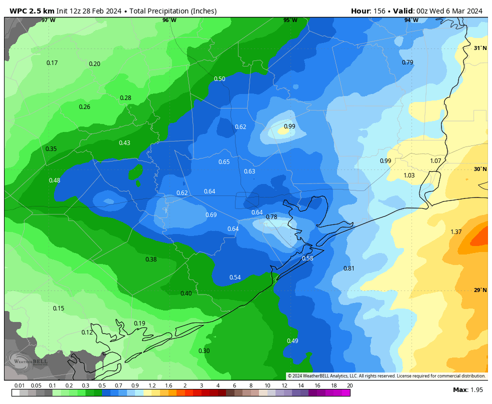
Next week’s forecast is filled with a whole lot of “I don’t know.” The uncertainty is due to the approach of a cold front by around Tuesday-ish, and a lack of clarity on whether it pushes all the way through Houston. The bottom line is that I do think we’ll see elevated rain chances on Monday and Tuesday, with accumulations of perhaps half an inch, give or take. But as for temperatures, who knows. We’ll probably be somewhere in the 70s during the daytime, but the nights will depend on the progression of the front.

Winter was fun while it (barely even) lasted. We really need some rain, some leaf blooms are turning brown.
Concerning dry weather: I’m really hoping for some beneficial rain next week. I’m already back to watering and have to top off the pond every few days.
Thank you. So grateful for some cool and dry weather coming in today. I am really not ready for summer and the atrocious electricity bill it brings on. So your forecast made my day! 😁
I welcome our dry cooler overlords for the short duration such as it is.
Love this page! Question: will they smoke from the world fires in the Amarillo area affect our air quality or your forecast?
Cooler weather stay stay stay.
Warm and muggy away away away.
I could swear I smell smoke this morning after the front blew in. Is that possibly coming from the fires in the panhandle?
Such a weird thing to hate.
Why? It’s basically the only season with consistently comfortable air
What in the world happened to El Nino?? Why is it so dry?