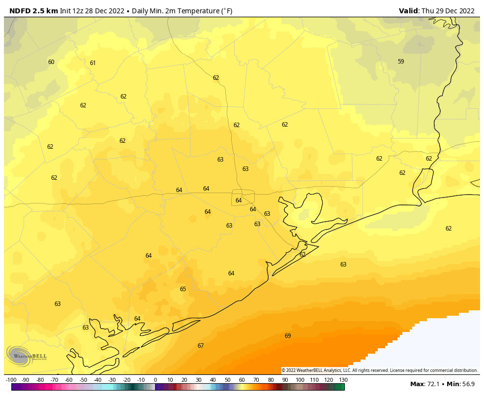
Although it remains chilly this morning across the Houston metro area, with lows in the upper 30s and lower 40s, by this afternoon the last 10 to 12 days of frigid weather will be but a memory. Looking ahead, it probably will be at least a week before we see lows in the 40s again, and there is no likelihood of a return to the 30s any time soon.
Wednesday
Winds have shifted to come from the south, and they’ll pick up in intensity later today, gusting as high as 25 mph. This influx of warmer and more moist air will allow for a mostly sunny and warmer day, with highs in the mid-70s. Low temperatures tonight will only drop into the mid-60s.
Thursday and Thursday night
Building upon this moist air, an upper level disturbance will move into the region, bringing a chance of widespread showers and thunderstorms. I don’t have great confidence in how this will all play out, to be honest. I expect mostly cloudy skies on Thursday, with highs in the mid-70s. There will be a chance of scattered showers during the day time, but it looks like the more organized activity, if it develops, will do so overnight. There is a slight risk of heavy rainfall for the region, especially for areas east of Interstate 45, and for places like Beaumont and Port Arthur. Although we cannot rule out some isolated street flooding where such heavy rain falls, I don’t expect much of that. Note that these storms could be hit or miss, with some areas picking up less than 0.25 of an inch—particularly the western half of the metro area—and other areas 2 or more inches.
Friday
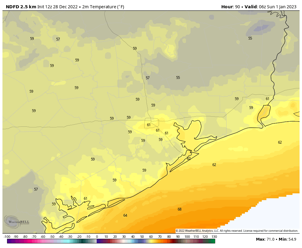
This should be a mostly cloudy day, with a high in the mid-70s. At some point a weak front will push into the metro area, and this will help to drop temperatures into the mid-50s on Friday night.
New Year’s Eve
This looks like a fine, mostly sunny day with highs in the mid-70s. The front will knock some of the humid air away. Conditions on New Year’s Eve look pleasant, with temperatures around 60 degrees by midnight, and at least partially clear skies. Rain is not a concern for any holiday celebrations. The start of the new year will be, dare I say, mild?
New Year’s Day
The first day of 2023 will be warm, with highs in the upper 70s to possibly 80 degrees, and mostly sunny skies. Overnight lows will only drop into the mid-60s.
Next week
The combination of more moist air and the next front will produce widespread showers on Monday, which will be another warm day. After that, look for pleasant conditions, with partly to mostly sunny skies, highs of around 70 degrees, and lows of around 50, for much of the week.
I’ll be glad to leave that frigid blast in the past. My week’s power usage for 12-18 thru 12-24 was 510 KWh vs 170 KWh the week before.
I’ll take the other side of this coin: my power usage for that period was very low, despite doing a lot of laundry to boost the usage (and generate some residual heat from the dryer after the cycle). Blankets and sweats were the order of the day.
But, I’m not a “weather extremist”. I can live without our frigid temps. Staying in a range of 50s to 70s would be the sweet spot. And, I don’t need “moist” as Eric has used that word several times. (Not shooting the messenger! Ha ha!)
Steve, glad to know it wasn’t just me, although rough for both of us. I was in a similar situation and was unexpectedly shocked to see the amount of usage over that three day period.
I love the cold weather, but, yeah, not a fan of the “heating” bill, even trying to minimize usage by keeping the thermostat set between 61-63F (while bundling up in several layers of clothing) it’s still about double my average summer usage.
Yeah that’s a bit extreme for temp on thermostat, yikes
Any long-range forecast yet for January and February? Warmer than historical? Colder? Usual?
As of now the forcast for January and February is still warmer and drier than normal. I still think we will see our standard cold fronts throughout the rest of the winter. I don’t think we will see another cold front near as strong as the one we just saw though. We usually never get more than one cold snap of that magnitude in a season.
I won’t complain about a warm New Year’s as my Christmas wish for extended period of COLD weather was granted (and then some!).
Positively AWESOME!!
Ugh! Back to sweaty swamp weather. Gross!!
this is Houston, it’s how it is supposed to be
I’d like to hear SCW’s take on the situation unfolding in Buffalo. Forecasted vs. actual conditions, emergency response, what was expected vs. unprecedented, what’s the buzz among meteorologists, where does fit in the context of climate change, the now the emerging imminent flooding threat.
Dare I say what’s it looking like for the Houston Marathon two weeks ahead?