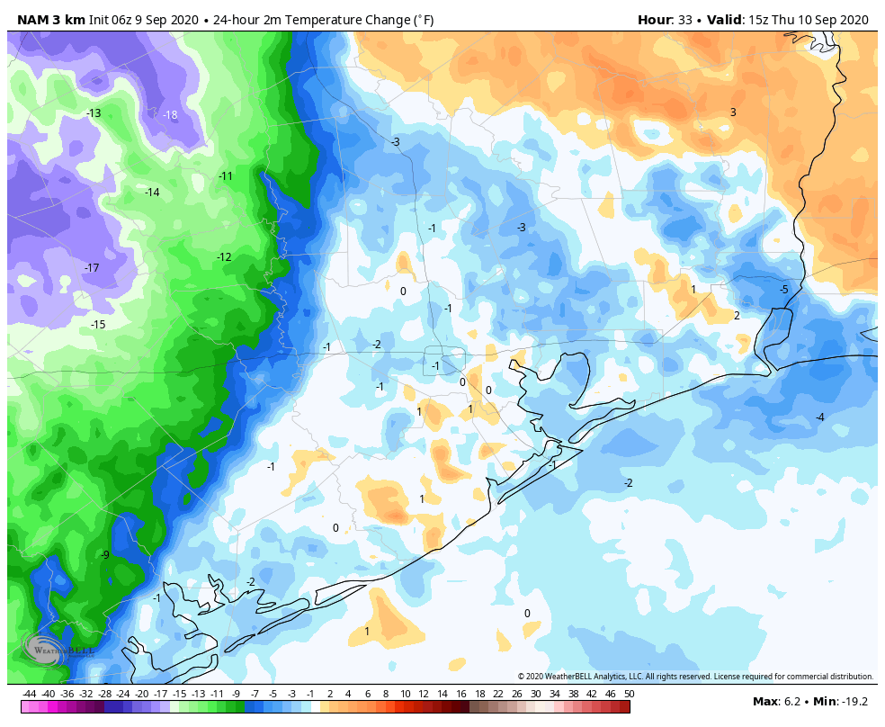
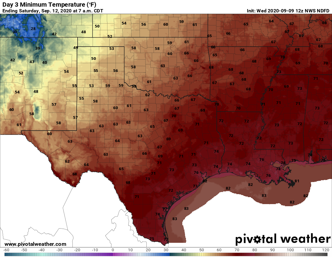
Today is such a disappointing day, my friends. As we look off to the west, we’re going to see an approaching front that, by all appearances, is going to die on our doorstep. The map below shows the likely extent of the front’s cooling by Thursday morning at 10 am CT. If the front makes it any further eastward—which is possible, although not particularly likely, we’ll consider ourselves lucky. The crushing part of all this is that our next chance for a real front probably will not come for another 10 to 12 days.

Wednesday
Today will be a day much like Tuesday, which is to say partly sunny skies with a decent chance of rain showers. However the heaviest rains will remain west of our region, over Central Texas, along the approaching front. The additional clouds should help to moderate temperatures a bit locally, with highs perhaps only reaching the low 90s. The front itself will likely bring a wind shift overnight, as winds blow from the northeast. But alas, this is likely to bring little sensible change in the weather in Houston.
Thursday
If you live north or west of Houston you may have some slight hope of a drier and cooler day, but for the rest of us Thursday will likely be a hot and sunny day with highs in the mid-90s. Rain chances will be in the 40 percent range. Thursday night may see some moderate regional cooling overnight, which is to say low- to mid-70s rather than upper 70s. And that will be the probable extent of the front’s influence on our weather—enjoy!

Friday and Saturday
Summer continues, with a pair of sunny days, highs in the mid-90s, and relatively low rain chances.
Sunday and beyond
An upper-level low pressure system may combine with increased moisture at the surface to drive more widespread showers from the Sunday through Tuesday period next week, although our overall confidence in the details is low. My yard could use a few inches of rain so I’m hoping this particular forecast verifies.
Tropics
There has been no real change since Matt’s excellent overview posted on Tuesday. We still see no immediate threats to the Gulf but we’re remaining watchful as we reach the peak of the 2020 season.

We want a front!
We want a front!
… everybody now…
We want a front!
We want a front!
Summer can … you know what.
Cold front hopes so high
We love you still Eric, Matt
The next one, perhaps.
Nice haiku!
Meanwhile it’s snowing and 28F in Colorado….
Houston weather is nothing but hot humid and …just disappointing. Cold front – does that stuff really exist?
Nice haiku!
Soooo….. you could just say “ditto ditto, blah blah” for the next two weeks? Pretty much like August.
C’mon November.
Thank you for the updates as always Eric and Matt.
We all know September is really August pt. II., living in the sweaty armpit of the Gulf of Mexico where fronts come to die. Look no sooner than October for relief – as it has been, as it will always be.
Thanks you for feeling our pain Eric. We love you and your forecasts.
Yup – getting a cool front in September is like winning the Texas Lotto top prize. Everyone wants it but odds are heavily against winning. As Tim L said, September is August Part Deux but a little less intense in my book.
October is when the odds are always in our favor (tip of the hat to Effie Trinket) for a cool front.
Snowing in the very tip of the panhandle of our state and we can’t even get out of the 90s
It’s a big state, remember it’s less than 40 miles from the northern state line to Colorado.
September in Houston. Next Front is always roughly 10 days away.
I was just recently introduced to this site by my daughter. I really enjoy your forecasts. Have you ever thought about an app? You are much more accurate than the others.