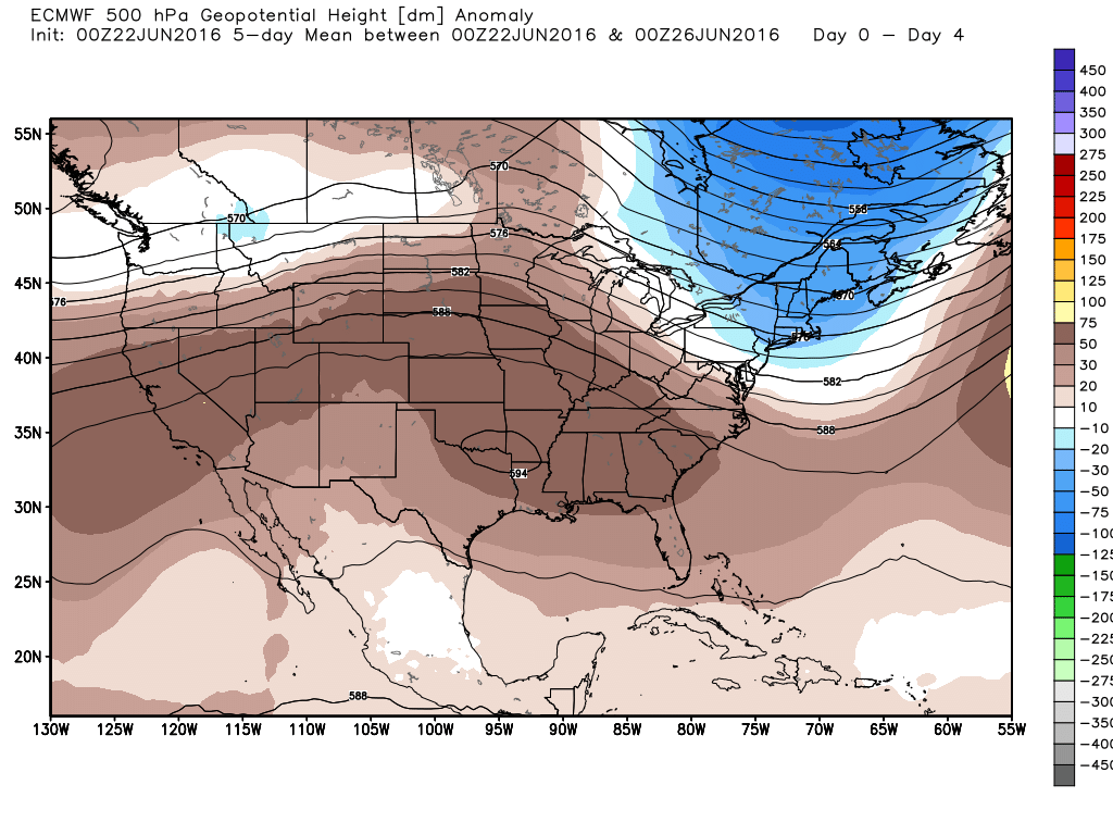
Good morning. A few streamer showers are moving northward quickly through Houston this morning, but with high pressure building these rains should come to an end later this morning.
TODAY through FRIDAY
It’s not like the suffocating ridges of high pressure that Houston sometimes sees during the summer (thank goodness) but moderately high pressure should keep the region mostly dry, sunny and warm during the next three days. Look for high temperatures in the low- to mid-90s with only some isolated showers.

SATURDAY through TUESDAY
The moderate high pressure ridge should weaken further by Saturday or so, which probablyh allow for some slightly better rain chances across the Houston metro area. This won’t affect temperatures too much, and I still expect to be in the low 90s with partly sunny skies, but it could bring better coverage of afternoon rain showers. Still not expecting any kind of significant flooding, however.
TROPICS
The GFS model and some of the others have been hinting at a tropical system possibly developing in the Gulf of Mexico by the end of June or early July. While this is something we’ll definitely watch for, it’s not something I’d be too concerned about at this time.
Posted by Eric Berger on Wednesday at 7:25am CT
Where does the GFS model point this tropical system, Eric?
It’s been on Louisiana for the last several runs.