Good morning. If you’re tired of the heat already there’s one tiny bit of good news. The summer solstice occurred on Monday (at 5:34pm CT to be precise) so from here on out the days only get shorter, and the Sun doesn’t climb so high in the sky. Unfortunately for us living along the Gulf coast, temperatures lag considerably behind shorter days, so our warmest period does not come until late July and August.
TODAY
High pressure is building southward, but there’s enough moisture for some showers to develop later today, especially as the sea breeze moves in early this afternoon. Like on Monday the showers will be scattered, but could quickly drop 0.5 to 1.0 inch of rain over some areas. Much of Houston should remain partly sunny and hot, however, with highs in the low 90s. Rain chances end by or before sunset.
WEDNESDAY and THURSDAY
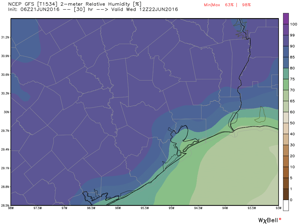
With high pressure in place for the middle of the week I expect mostly sunny skies, highs in the low- to mid-90s, and lows in the mid-70s. This will be classic, humid, summer-like weather for Houston.
Rain chances should be near zero, although a few isolated showers could develop Thursday.
FRIDAY through SUNDAY
The high pressure should retreat a bit off to the east, so we’ll see at least the possibility of some rain showers, likely driven by daytime heating and the sea breeze during the afternoon hours. Right now Sunday looks the most favorable for rain to me. In any case we’re not looking at any kind of a washout, more like the brief but potentially strong showers we’ve seen the last couple of days. Highs remain in the low 90s.
…oooh joy…thanks for the “tease” then slam dunk reminder of July and August!!