The last vestiges of drier air will move out of the region today, as a more southerly flow reestablishes control over the region’s weather. This is to be expected in October, of course, as Houston is caught between the warmth of the Gulf of Mexico, and periodic cool fronts arrive to bring relief from the humidity. During this work week the humidity will win.
Today through Thursday
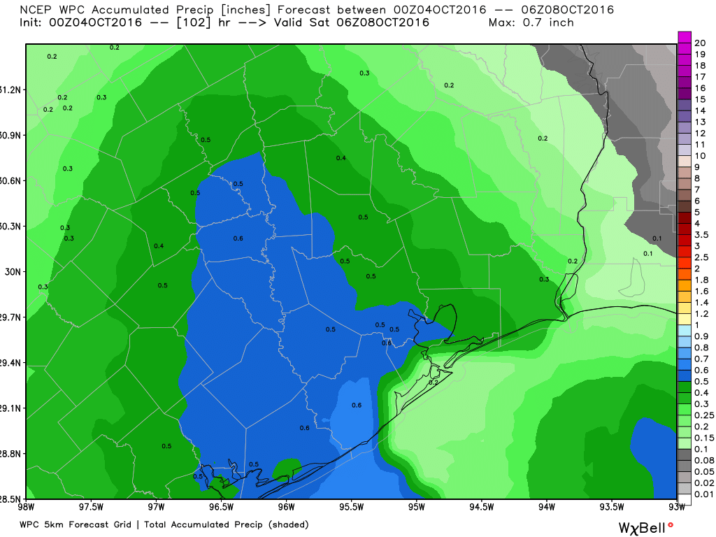
Although moisture will return to the area, we’re not going to see the kind of conditions that promote rising air and therefore widespread showers and thunderstorms. While I expect to see some scattered storms, with slightly better chances along the coast, I wouldn’t count on much rain this week (Certainly less than 1 inch, and probably no rain for a lot of the metro area). That is too bad, because a lot of lawns need it. As for temperatures, we’re looking at highs around 90 degrees, with sticky lows in the mid-70s. Not particularly pleasant, but at least these temperatures will be transient.
Friday
Friday will be another warm day, with highs around 90 degrees, but we will likely see the passage of a front some time during the late afternoon or evening hours. This looks like a dry front passage, for the most part, with some cooler air arriving late that night or Saturday morning.
Saturday and Sunday
Drier air should bring more pleasant weather for the weekend, with mostly sunny skies, highs in the low 80s, and lows in the 60s (around 60 for northern areas, upper 60s right along the coast). By Monday or so we’ll start warming up again a little bit, setting up this familiar October pattern of warmer, then cooler, and so on.
Hurricane Matthew
Although it won’t have any effect on Texas, Hurricane Matthew and its 145-mph winds are now moving across the southwestern tip of Haiti, and the storm is bringing devastating rains and winds to that island. Cuba will also experience major effects from Matthew. By Wednesday the Bahamas will see 25-foot seas as the storm moves directly through the archipelago off the eastern coast of Florida.
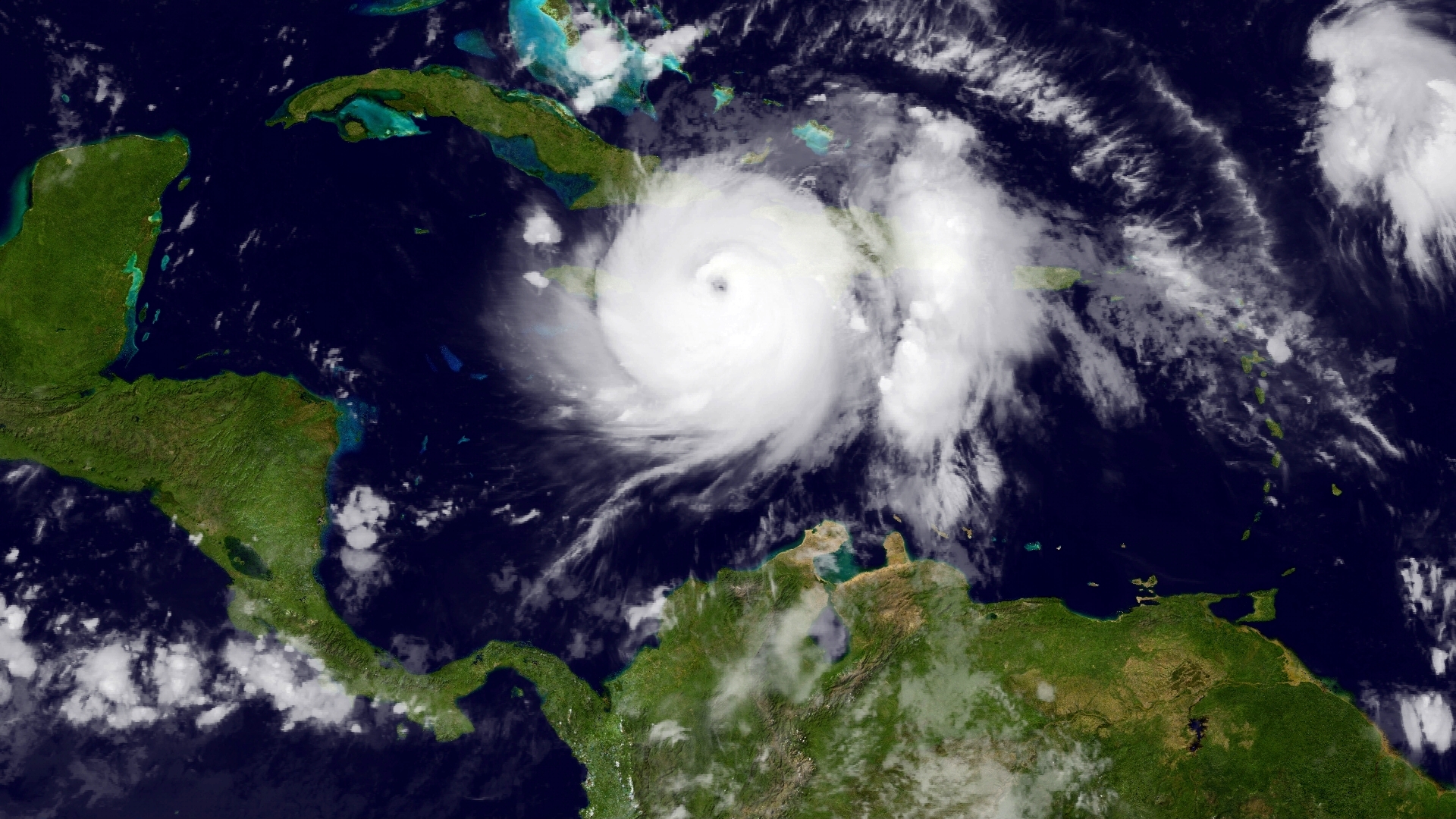
From Thursday night onward the eastern coast of Florida, Georgia, the Carolinas and Virginia are all all risk for strong winds and heavy rains from the hurricane.
Posted at 6:40am CT on Tuesday by Eric
Eric,
Long time follower, first time posting. I will be taking the family to the Austin area this weekend, can you tell me what to expect regarding the weather? We plan to be performing outside activities for the most part.
Thanks for all your hard work, congrats on your amazing website!
Expect very nice weather!