Welcome back to sticky weather. Lows this morning have only fallen into the upper 70s across the Houston area, and relative humidity is near 100 percent. Expect a few more days of this before some relief this weekend and early next week.
Wednesday and Thursday
We’re going to continue to see late-summer like conditions as southeast winds bring a warm, moist flow into the region from the Gulf of Mexico. Highs should climb to about 90 degrees, or maybe a tick warmer, with lows in the 70s. The more difficult question is how widespread the rain is. The region will have enough atmospheric moisture to produce showers, but there’s no real forcing mechanism. So I’d anticipate scattered showers both days, primarily during the afternoon hours and most likely along the coast.
Friday
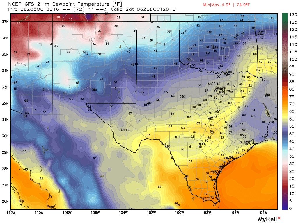
A front should arrive in Houston later on Friday, but the day will still be warm in advance of its passage, with highs around 90 degrees. Expect a dry passage with little or, most likely, no rain. Drier air should allow low temperatures late on Friday night to fall into the upper 60s.

Saturday through Monday
It will take some time for the cooler air to work its way into Houston, but we should see more pleasant conditions by Saturday, and especially Sunday and Monday. Highs should fall back into the low- to mid-80s, with low humidity. Low temperatures will probably bottom out on Monday morning, in the upper 50s for inland areas, and low 60s closer to the coast.
Hurricane Matthew
The forecast for Hurricane Matthew, with 125 mph winds, continues to grow more concerning for Florida on Friday and into the weekend. The European model, in particular, has shown the potential for Matthew to strike or significantly graze Florida’s space coast, including the Kennedy Space Center. Already there are mandatory evacuation orders for Brevard County, and the hurricane may pose a significant threat to iconic structures at the space center.
Here are key messages from the National Hurricane Center with regard to the storm.
Posted at 6:50am CT on Wednesday by Eric
Eric…thanks for your “arsTECHNICA” piece on the KSC structures readiness for Matthew…
Do the latest model runs for Matthew which show it looping back around give you any concern that the Gulf is now at risk? If so, do you have any thoughts yet on whether it could get as far west as Texas?
Texas will be fine.
The NHC is also watching a westward moving tropical wave that has at least a 20% chance of development by the time it reaches the southwest Caribbean. Would it pose any kind of threat to (anywhere in) Texas if/when it develops?
Almost none, IMO.