So far the forecast for Houston remains on track. Nearly all of the heavy rainfall has remained west of Interstate 45, with generally 1 to 4 inches falling between Wednesday afternoon and Thursday morning. A few areas, such as western Montgomery County, saw as much as 5 inches. Now, we’ve got to get through one more day before skies clear this evening and the new year dawns brighter.
Thursday daytime
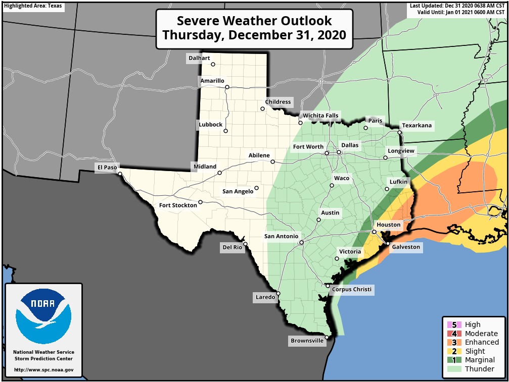
After storms waned during the wee hours of Thursday, we’re starting to see activity fire back up west of Houston around sunrise. This mass of storms should generally move from west to east during the daylight hours, bringing an additional 1 to 3 inches across much of the Houston area. However, the forecast will be complicated by the front’s interaction with a low-pressure system presently along the Texas coast, near Corpus Christi. As this low moves north today, it could induce some severe weather to the south and east of Houston—especially the closer one gets to Beaumont and Port Arthur. The threat will be strong winds amidst severe thunderstorms, and possibly a few tornadoes. The area of greatest threat is shown below.
New Year’s Eve evening
The cold front presently draped across the Houston region will finally lift to the northeast this afternoon and evening. I think rains should be gone from the central Houston area by around 4 to 6pm CT today, and rapidly pull away to the east after that time. Temperatures after sunset will quickly drop into the 40s, with brisk westerly winds blowing at 15 to 20 mph, and higher gusts. Bottom line: If you’re outside when the clock strikes midnight, it will “feel” like it is in the 30s.
New Year’s Day
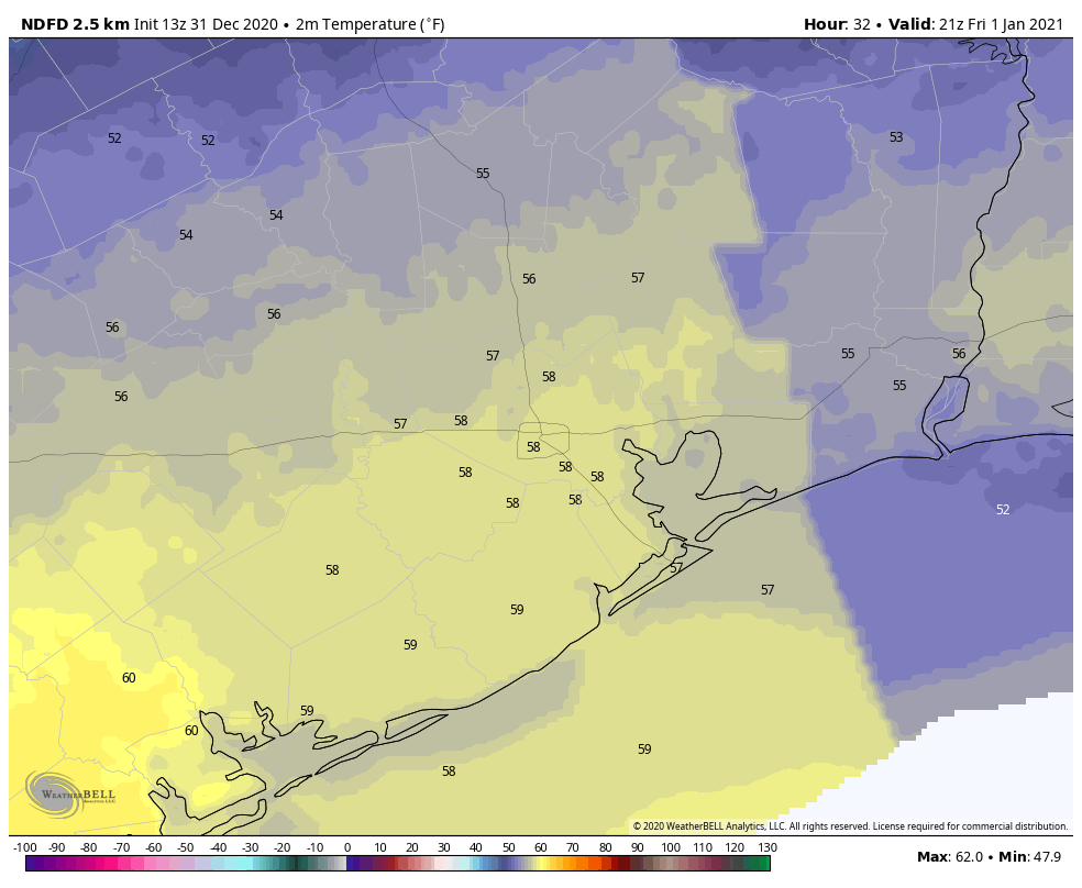
Lows will drop to around 40 degrees before rebounding into the upper 50s on New Year’s Day. After some morning clouds, skies should be mostly sunny.
Saturday and Sunday
Expect more sunshine throughout the weekend, with highs in the mid-50s on Saturday, and low 60s on Sunday.
Next week
Houston will likely see a slow warming trend next week before another front arrives on Wednesday or Thursday to keep our weather reasonably cool. This one may bring some additional rain, but nothing like we’ve been experiencing with the current front.
2020 Hurricane Season
If you missed it, we published Part I of our hurricane season wrap-up on Wednesday, and will publish Part II later today.

We may end up with 4 or 5” or more in Wharton County when this is all said and done.
Just wanted to add my thanks to both of you guys for all your efforts in 2020. Your forecasts and commentary are terrific. I read you all summer from our ranch in New Mexico to see if we were gonna get hit with a hurricane and you all did wonders to put our minds at ease and not worry about our winter home in Houston. Then in September I was watching from an elk hunt in Colorado as Big Cypress creek was rapidly rising (shades of Harvey and flooding again!) and once again you two got me through the rough times! Keep up the good work fellows, you are appreciated!
Thanks for all you do SCW! Happy New Year!
I just started following SCW this summer. You and Matt have been great meteorology instructors. Thanks so much!
Yeah, looking super 2020-ish outside right now. Ominous low clouds. Begone, 2020!
Thanks to both of you for all you do. Happy New Year!!
I’ve said it before and I’ll say it again YOU GUYS ROCK. Stormy weather on the last day of 2020, well I wouldn’t have it any other way. Thanks for all y’all do, Happy New Year
Only 79 days until spring. Happy new year.
Thank you so much for all your hard work, extra hours you put in during the hurricane season and your excellent forecasting! Wishing you a very Happy & Prosperous
New Year to you and family and may it be filled with lots of love, health & happiness.