It’s another sticky morning across the Houston region, with lows at 80 degrees or above for most of the region. Normal lows this time of year run about five degrees cooler so the real heat this month has come during the nights. We expect the overnight lows to moderate slightly over the next few days, but we’ll remain at least in the upper 70s. The bigger change will be apparent in daytime highs, as we fall back toward the low-to-mid 90s after today.
Thursday
If you liked Wednesday’s weather then you’re in luck, because today will bring more of the same. Although high pressure should begin to weaken, it’s still going to retain enough of a grip to send high temperatures soaring into the upper 90s across the area. Morning clouds should give way to afternoon sunshine.

Friday
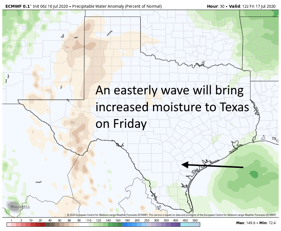
Our weather pattern should really change on Friday. Highs pressure will back off just enough to allow a weak low pressure system to move from east to west across the area. This should bring scattered, light to moderate showers along the coast during the morning, and spread inland during the afternoon and evening hours. Will you get rain? If you live south of Interstate 10, chances are probably in the 50 percent range, and lower if you live north. Accumulations for some may be up to one-half inch, but most people will see less than this. Highs should otherwise be in the mid-90s.
Saturday and Sunday
The weekend should see fairly standard weather for Houston in July, which is to say highs in the low- to mid-90s, with partly to mostly sunny skies. We may see some isolated to scattered showers driven by the sea breeze, but overall rain chances will be quite low.
Next week
Most of next week should see highs in the low 90s, with a mix of sunshine and clouds. On average, each day should have around a 30 percent chance of rain, but of course some days will have better and worse chances. We’ll refine that forecast as we get closer to it.

Has it been the humidity that has been keeping the nights warmer than average? Because there hasn’t been a lot of night time cloud cover to stop cooling.
It’s actually the dew point, as temps cannot drop below the dew point by definition. dew point is a function of temps and humidity.