So it’s been hot in Houston this month, especially the nights. The low temperature this morning at Houston Hobby Airport is likely to fall no lower than 81 degrees. This would make for the tenth day so far in July that the temperature has failed to fall below 80 degrees at that location. This extends a new record for mornings with 80- degree mornings, or above, for the month of July. The previous record for the most of these days at Hobby was eight, in 2016, according the National Weather Service. Also, July is not quite half over yet.
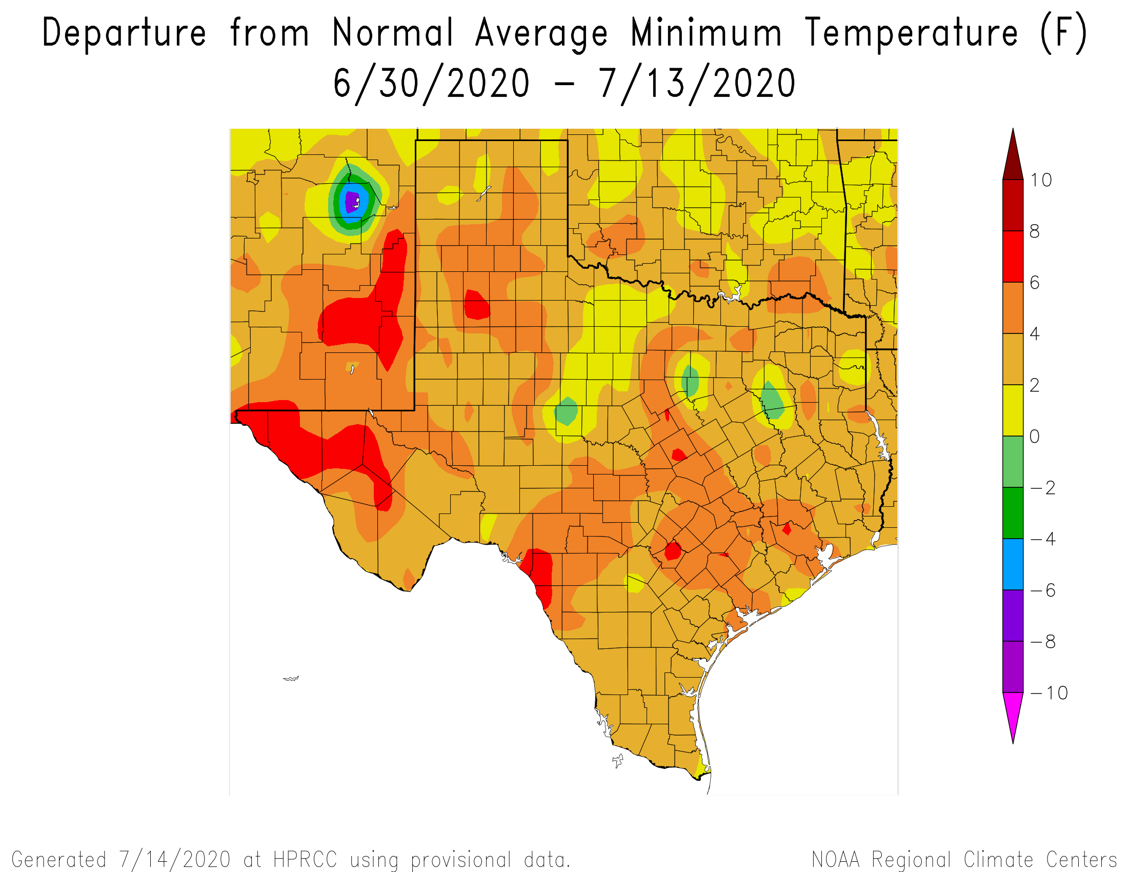
Fortunately, some scant relief is coming as the high pressure that has dominated our weather this month begins to weaken and slide east. This will slowly bring down temperatures and, eventually, introduce some moderate rain chances to the area. We think the second half of this month will be much closer to “normal” for a Houston summer than the extremely warm nights and days we’ve experienced over the last two weeks.
Wednesday
Today, however, will not provide too much of a change. Highs probably will still reach into the mid- to upper-90s for the region, with partly to mostly sunny skies this afternoon. Winds from the south at 5 to 10 mph will provide a bit of relief, and then we will be in for another very warm night, with lows possibly falling into the upper 70s for inland areas.

Thursday
A day a lot like Wednesday, albeit with a very (very) slight chance of showers in the afternoon. Look for highs to rise into the mid- to upper-90s.
Friday
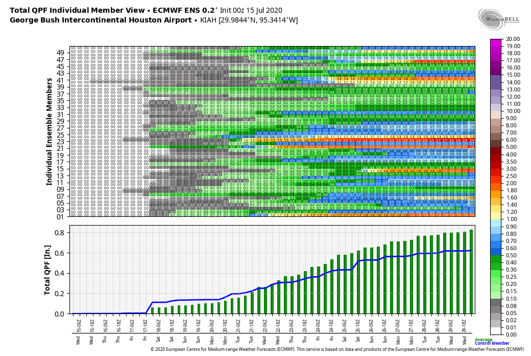
As high pressure weakens further, a low-pressure system will move in from the Gulf on Friday. Don’t get your hopes up for widespread, significant rainfall. Right now we think this may result in coastal counties seeing scattered showers, but as the region has not seen a meaningful chance of rain in two weeks we’ll celebrate just about anything at this point. Highs Friday should remain in the mid-90s.
Saturday and Sunday
This should be a fairly typical summertime weekend, with partly to mostly sunny skies, and highs in the mid-90s. We can’t entirely rule out rain chances on both days, but overall chances are pretty low—likely in the range of 20 percent.
Next week
The good news is that we continue to expect a bonafide pattern change next week. Right now it appears that atmospheric conditions will favor rising air, and we may see a decent chance of rain on most days, with enough clouds to limit highs into the low 90s. We’re far enough away that it’s hard to have absolute confidence in this forecast, but just know that conditions should be more tolerable beginning Monday or so.
What if we all just move to a city with bearable weather? Taking suggestions, thanks!
I have retired friends who move to places like Maine and Colorado for the summer…
That’s the dream, isn’t it!
I’m looking at places like Franklin, TN and Cary, NC for retirement. Also maybe Huntsville, AL.
I’ve been giving some serious thought to being a reverse snowbird: moving to a northern clime from May to September. Those 5 months will allow me to keep my Texas residency and take me out to reasonable “outside” weather.
Extra benefit: I can still read SCW on the interweb in other parts of the nation.
Hmmm. Well the good news is that we’re not experiencing a hurricane, tornado or tropical storm that brings severe flooding. As much as I detest the heat, I’m grateful for it over our other possibilities.
Krr. them we couldn’t afford to live there 😀
Thanks guys, for the cloud cover today. A/C is not running as much.