In brief: Well, here we are. The start of the six-month Atlantic hurricane season. In this post we attempt to give you the information you need about what to expect and how to prepare, without raising your anxiety too much. A little preparation now will go a long way if the worst happens.
Hurricane season forecast
We do not put a whole lot of stock in seasonal hurricane forecasting. It can provide a general sense of what is likely to happen, but there is no precision in the details that matter. For example, what we really want to know is whether there will be a lot of active storms in the Gulf of Mexico, not the central Atlantic Ocean. And since we remain a couple of months away from the ‘peak’ of hurricane season we just cannot know these details.
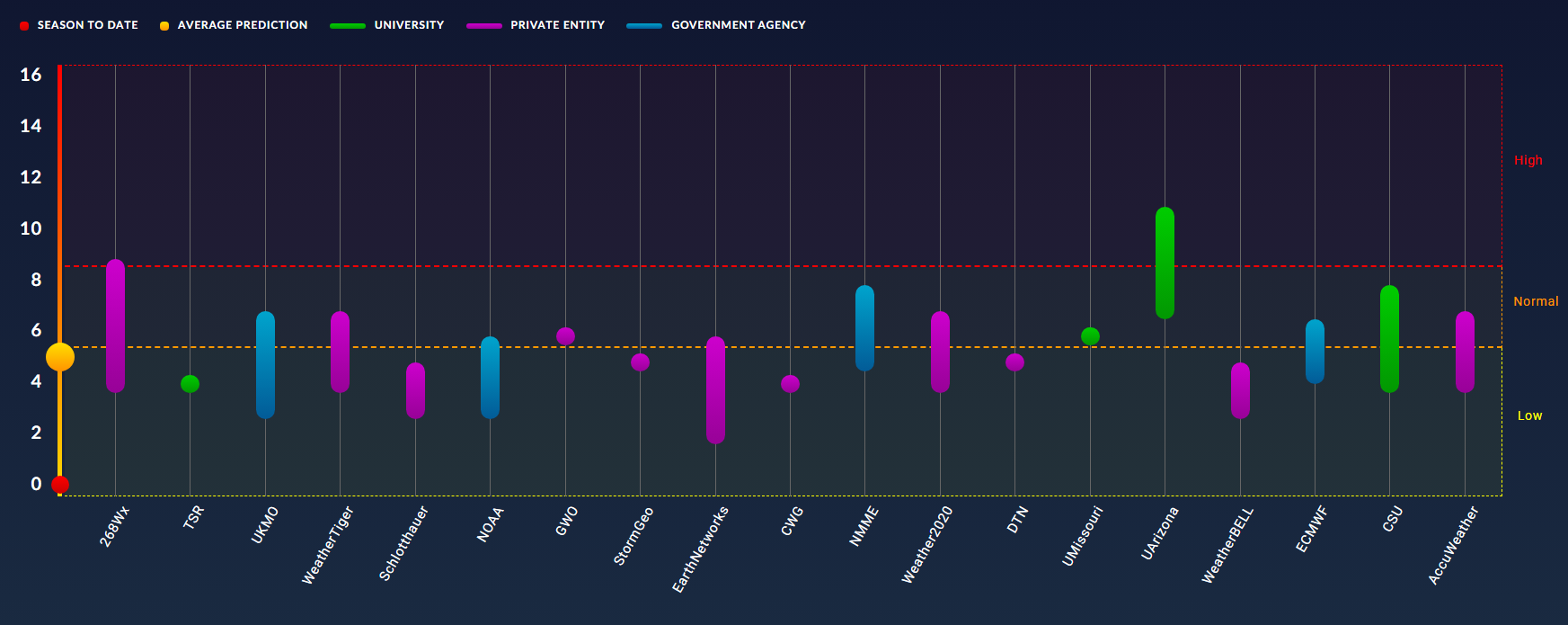
With that said, the general consensus from hurricane season forecasts is that we should see activity levels below normal this year across the Atlantic basin. For example, the average number of named storms is about 14 per season, and this year the most likely range of named storms is between 8 and 14, according to NOAA. The average number of hurricanes is 7, and the expected range is 3 to 6. So this is good news, because fewer storms overall mean fewer “shots on goal” when it comes to striking the Texas coast.
The reason for all of this is that El Niño is very likely to develop soon, and strengthen during the key August and September months. This should help to suppress Atlantic storm activity by increasing wind shear. There are other reasons as well, but the takeaway message here is that instead of seeing a blockbuster season, we are likely to see a quieter one. But a quieter season for the entire Atlantic does not mean a quiet season for Texas if one or two storms threaten here. So as ever, we will remain vigilant here at Space City Weather.
What you should do to prepare
The most important piece of advice we can give you at Space City Weather is to have a plan for what to do if a storm threatens. If you have a plan, then you’ll sleep better and night, and be prepared to put it into action. And this is important, because when a hurricane legitimately does threaten the Houston region, people lose their minds. You don’t want to lose your mind.
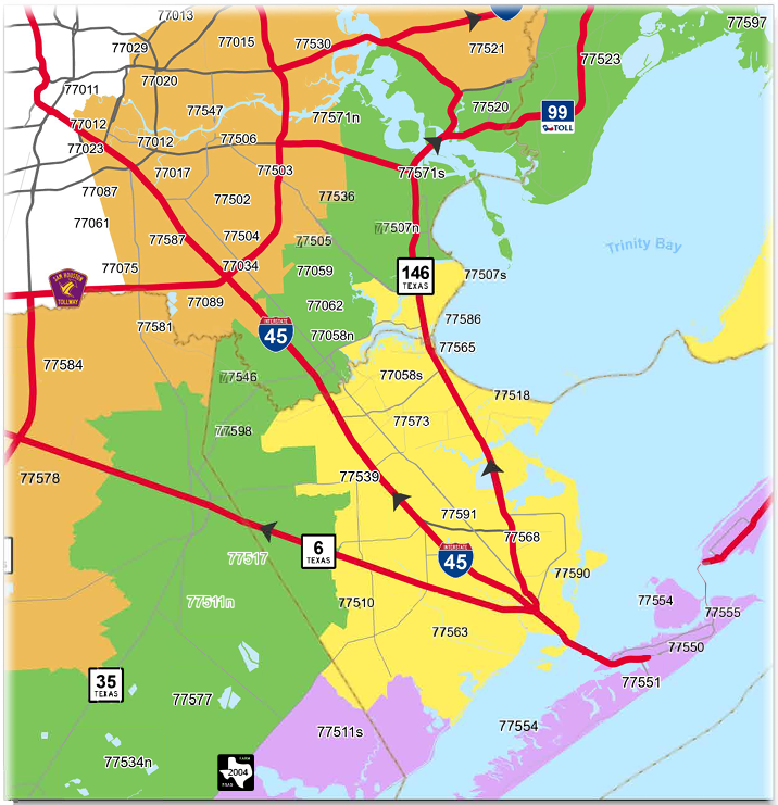
The key question you need to decide is under what circumstances you will evacuate. An important factor in all of this is how close you live to the coast. The Houston-Galveston Area Council has some excellent resources to help you prepare at this website. Among them is a “zip-zone” map that helps homeowners identify their vulnerability to different levels of storm surge. This is also how evacuations will be called, by zip codes.
There are other determinants for whether one should evacuate. Winds are a secondary consideration. In Houston that almost always means extended power outages. If you’re not prepared for that, or have someone in your home with a medical condition that requires electricity, then you definitely will want to be prepared to evacuated if a hurricane threatens the Houston area.
For those planning to stay during most storms, here is an example of a good disaster kit checklist. A lot of this is common sense: what supplies would you need to remain in your home for several days, without power, and without access to outside resources? Also please don’t forget about pets, whether you’re staying or evacuating. Also it’s a good idea to check on neighbors. One of the only silver linings of a hurricane, I have found, is that it tends to bring neighbors and neighborhoods together.
A final word. Hurricane season is a long slog, not a sprint. But in Houston the first six weeks or so are typically sleepy, and we typically see activity end here by the end of September. So the most important time to really pay pay attention is from late July through late September. Surprises can always happen, but you need not remain on high alert for six months.
How to find our coverage
As usual, Matt and I will have full coverage here of all storms with any chance to threaten Texas and Louisiana. If you’re interested in broader coverage of the entire Atlantic basin, on a daily basis, then you should also be familiar with our companion site, The Eyewall.
During active threats you can always check our website for updates, or find the “subscribe” box on the home page to sign up for emails whenever we post updates.
Our app is super popular and remains entirely free, without any junk to track you or monetize your data. Through the Space City Weather app you can receive notifications whenever we post an updated forecast, while also checking the radar, seeing a 7-day forecast, or finding local conditions at an official weather station near you. For the Apple version of the app, click here; and for Android, click here. We invest a lot in our app every year to keep it operating smoothly, and add features. This is solely for the benefit of our readers, so please check it out.
How can we do this?
We do this because we love weather and we love Houston. Seriously, over the last decade Space City Weather has become an important part of the Houston community’s fabric, and we take our responsibilities seriously. We’re here for the long haul, and appreciate that our readers are so faithful to the site.

Speaking of the long haul, our partnership with Reliant is a huge part of what we’re able to do here. They provide financial resources to support our operations here, and do the hard work with annual events like Fall Day. This will be the ninth year that Reliant has backed Space City Weather and they’ve been a wonderful partner in powering the site and enabling Matt and I to focus on weather forecasting and communication.
And finally there’s you, the reader. To the extent we have grown, it has been through word of mouth. We have never advertised the site. Rather, our growth has been entirely by word of mouth, with readers telling others about us, or sharing our activity on social media. We are grateful for that. What about financial support? We do hold an annual fundraiser where we sell merchandise and accept donations, but we don’t hold that until November, when the weather is quiet. We don’t want to be seen as trying to capitalize on severe weather when it’s happening.
Social media
As for social media, we do try to reach readers where they are. Here are a list of the places you can find us, and where you can find links to every update we do:
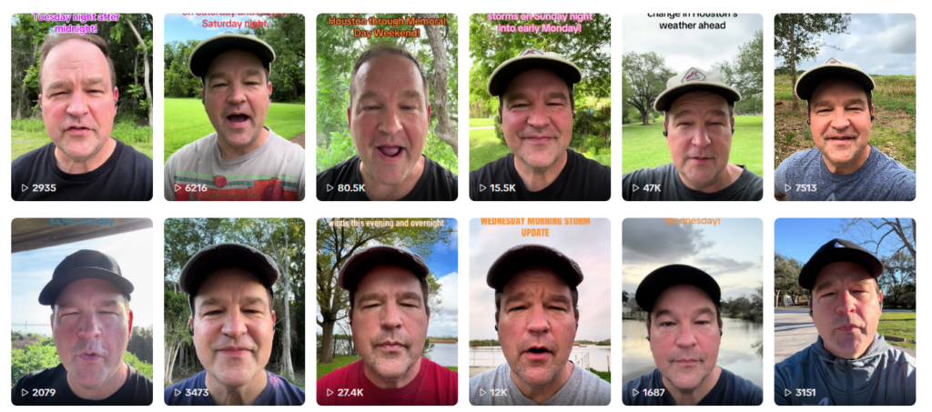
One final thing to note this year: We are trying to do more social media videos. If you follow us on IG or TikTok, you may have seen our forecast videos. We try to do one or two a week to keep people informed. We don’t want to overwhelm you with content, but when something needs to be said, we’ll say it. So be sure and check us out there if you’re a video-first type person.