Summary: The forecast remains largely the same, as we’ll see gradually warming and generally mild weather through Friday. Beginning Friday evening, and lasting into Saturday afternoon, there will be an elevated chance of rain showers and thunderstorms as the next front passes through. This front will bring us cooler and drier air through the middle of next week.
Also, be sure and check back later this morning for an important site announcement!
Wednesday
Today will bring more mostly sunny, pleasant, and fine conditions. Expect highs of around 70 degrees with light westerly winds. The winds of change will begin to blow, if only slightly, tonight as they shift to come from the south. This will herald the beginnings of an onshore flow, but temperatures will still drop to nearly 50 degrees overnight.
Thursday
Expect another nice day, with partly sunny skies and highs of around 70 degrees. The air will be a little bit more humid, but we’ll still be fairly dry. Winds will be a bit more pronounced from the south. Overnight lows will drop into the mid-50s.
Friday
Skies will be partly to mostly sunny, with highs in the mid-70s. I think rain chances will hold off during the daytime, and probably most of the evening as well. But some time on Friday night, perhaps after midnight, we’ll see showers and thunderstorms advance into the Houston metro area from the west.
Saturday
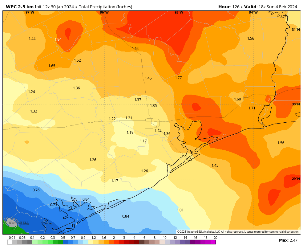
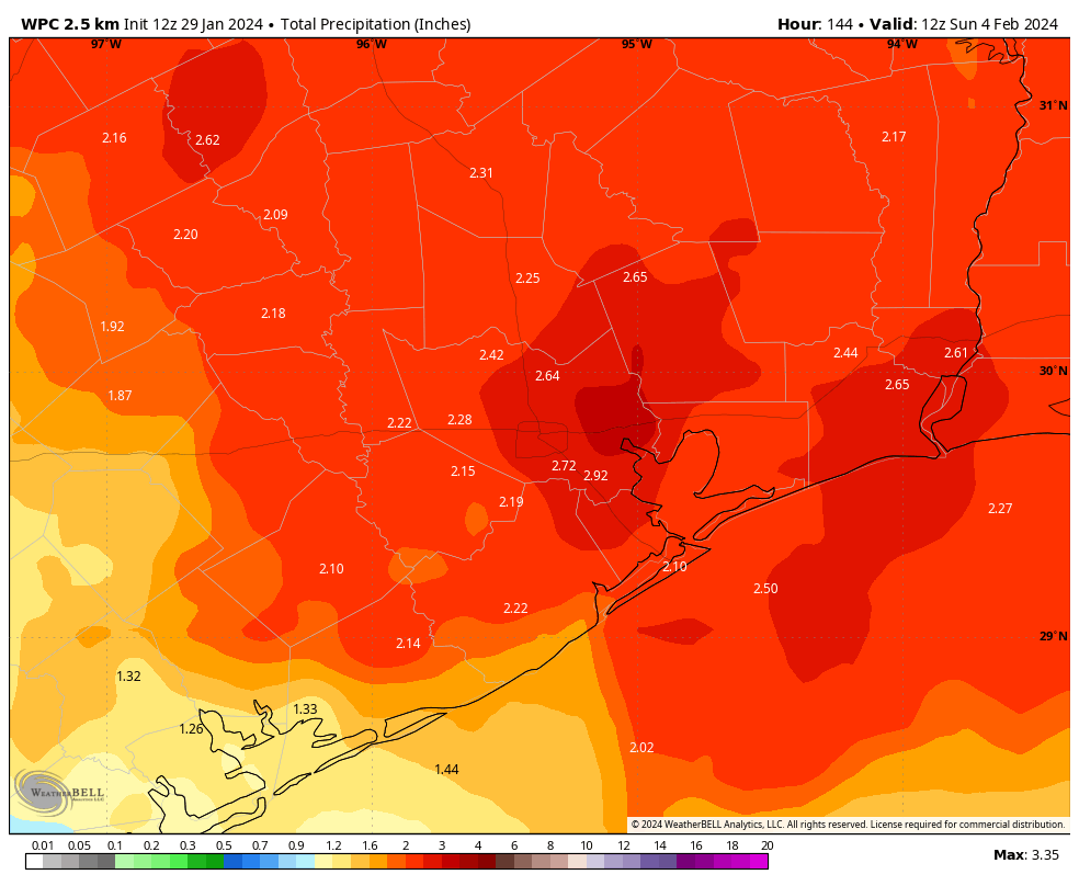
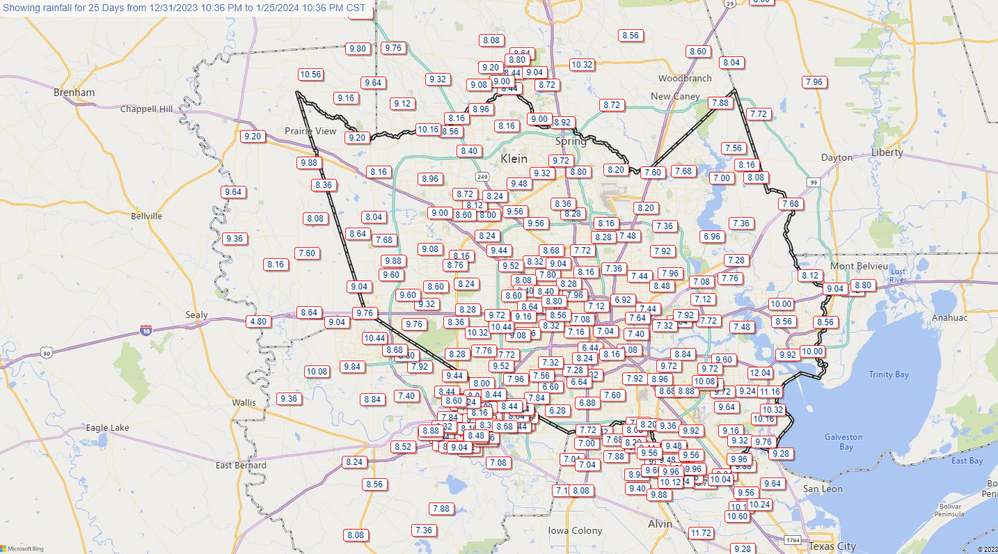
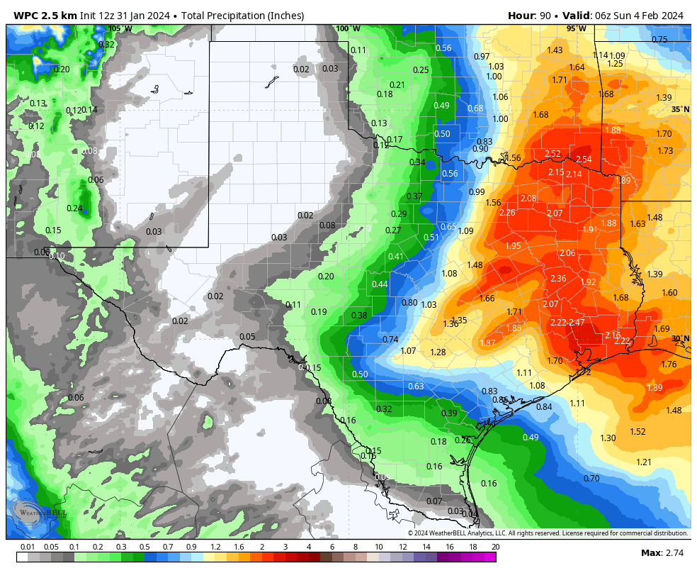
We’ll get a better handle on the details in the next day or two, but we can expect widespread showers through the morning hours and into the early afternoon. In terms of accumulations we’re looking at 1 to 3 inches, which is not a whole lot, but our grounds are still pretty wet from rains last week. Highs on Saturday should be about 70 degrees, with clearing skies likely during the afternoon hours. Lows will likely drop to around 50 degrees on Saturday night as humidity levels drop behind the front.
Sunday
This will be a colder and drier day with sunny skies. It does look windy, with gusts up to 30 mph from the north. Highs will top out in the 60s, with overnight lows dropping to around 50 degrees overnight.
Next week
Monday, Tuesday, and Wednesday all look cooler with highs in the 60s and sunny skies. We should see the return of more clouds and warmer temperatures with highs in the 70s toward the end of next week. There’s no strong signal for rain after Saturday.