In brief: In today’s post we discuss Houston’s sunny weather this week, and a splash of lower humidity before sultry conditions return this weekend. Rain may return by Sunday night or Monday.
Real talk, y’all
There is no shortage of inclement weather in Houston, from hurricanes to freezes, and heavy rainfall to deep summer heat. But at other times our pattern is calm and fairly predictable. This is one of those times. I’m not saying you should not read Space City Weather for the next day or two, but if you wanted to take a break it would not be the worst idea in the world. Houston’s weather pattern is fairly calm in the coming days, and in terms of confidence I don’t expect the forecast to change too much.
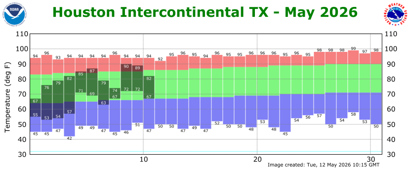
Wednesday
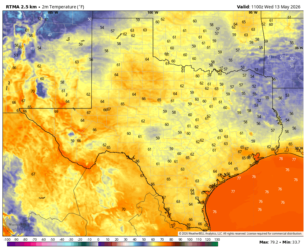
We are seeing another pleasantly cool morning across Houston, with temperatures in the upper 60s in Houston, and even cooler the further northeast one travels. Don’t get used to this, because are lows are going up big time this weekend. But for now, it is really rather pleasant. With light northwest winds, sunny skies, and moderately dry air our high temperatures this afternoon will rise to about 90 degrees, or even a touch above. Temperatures will cool down this evening, with lows tonight probably dropping to around 70 degrees in Houston, with conditions a touch cooler for outlying areas.
Thursday
This will be a day a lot of like Wednesday in all but one respect: winds. They’re going to veer from the west to south, and this will be the beginning of the onshore flow. Afternoon winds may gust up to 20 or 25 mph. Lows on Thursday night should drop to around 70 degrees.
Friday
Highs on Friday will be in the upper 80s for most of Houston, with mostly sunny skies and breezy southerly winds. Lows will only drop into the low- to mid-70s.
Saturday and Sunday
This weekend should see a mix of sunshine and clouds, with the best chance for some clearing skies during the afternoon hours. Highs will generally be in the vicinity of 85 to 90 degrees for most locations, with plenty of humidity. Our nighttime lows will be quite a bit more sultry, in the upper 70s. Rain chances on both days will be about 10 percent, so pretty low overall. That may change by Sunday evening or night.
Next week
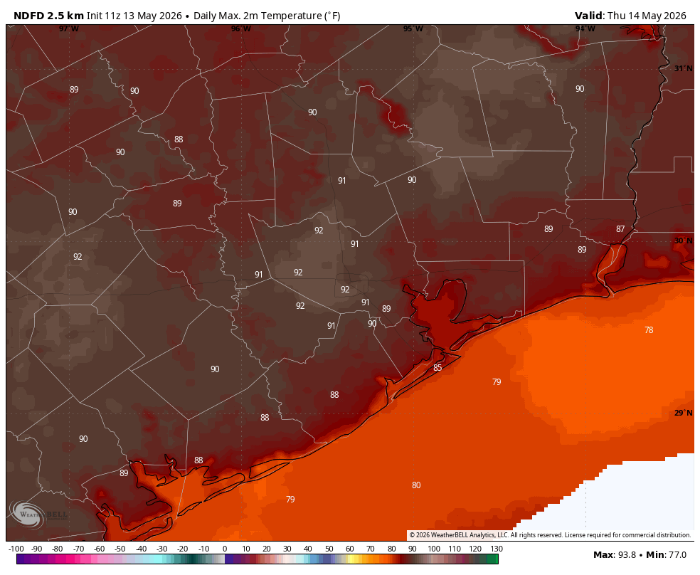
As the moisture levels pile up in our atmosphere and high pressure departs over the weekend, this will set the stage for higher rain chances during the first half of next week. I don’t feel too confident yet in accumulations, but after a warm and sunny week any precipitation will be welcome for most of us. In terms of temperatures, highs probably will hang out somewhere in the upper 80s before, possibly, a weak front pushes into the area by the middle of the week. Maybe. These things often tend to wash out before pushing all the way through Houston at this time of year.