In brief: In today’s post we take a look back at the year in weather for 2025, which had few major stories. The notable exception was a winter storm back in January. There was also a hidden, but significant story as well. We also take a look ahead to a stand-out weekend and warmer weather for much of next week.
A look back at 2025
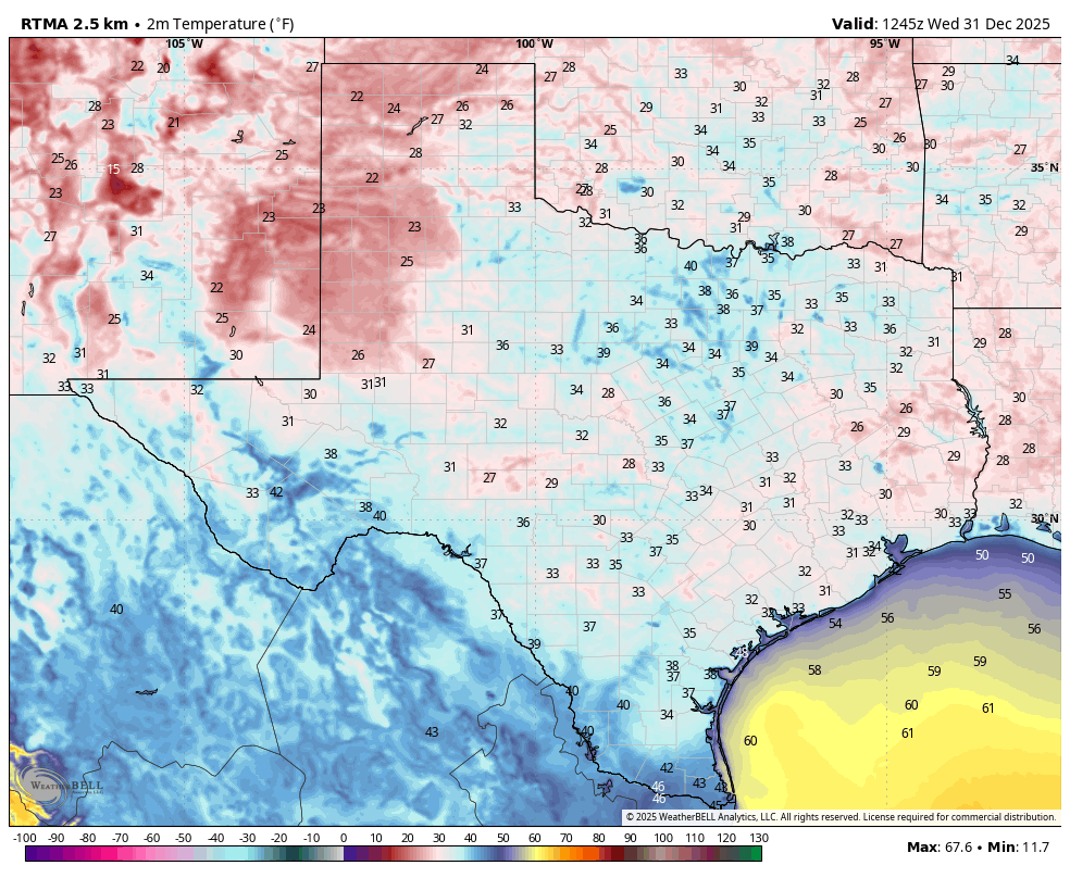
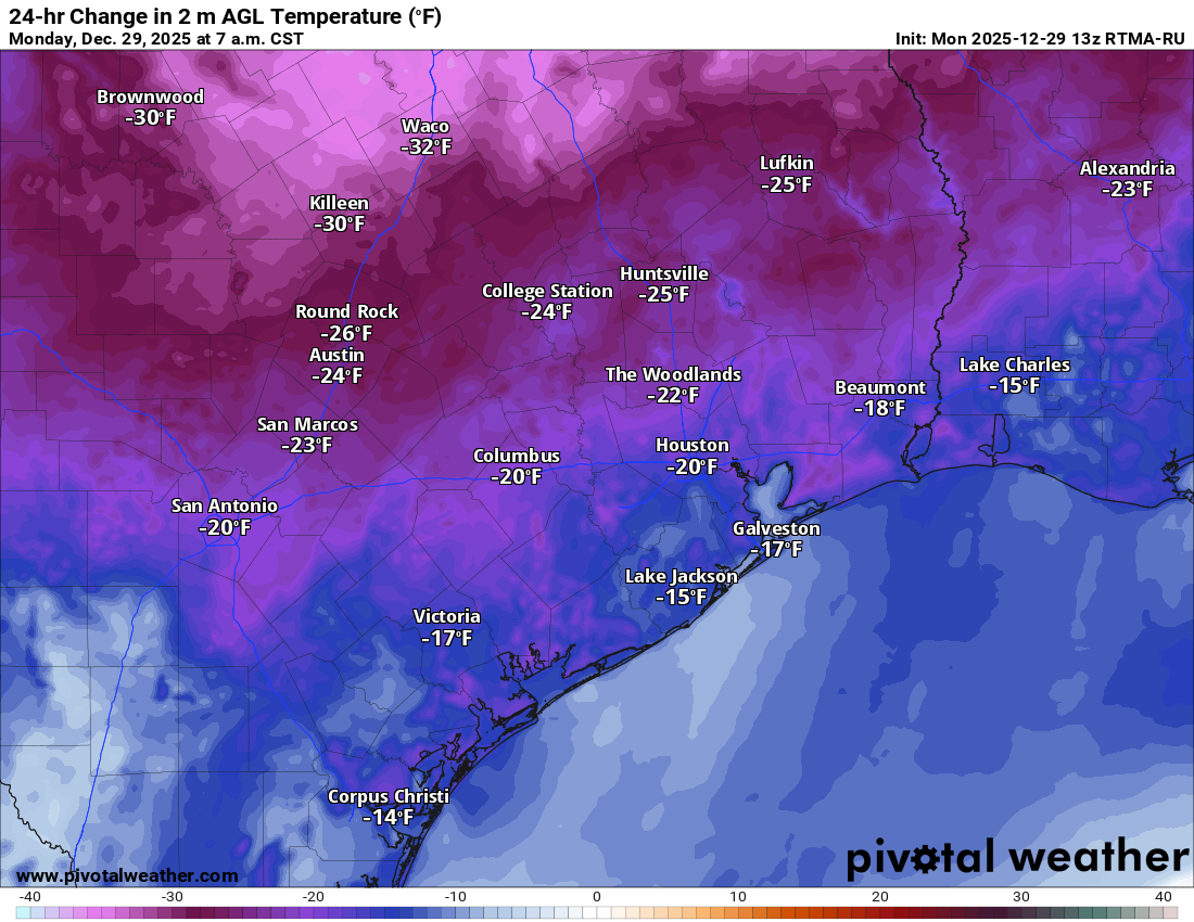
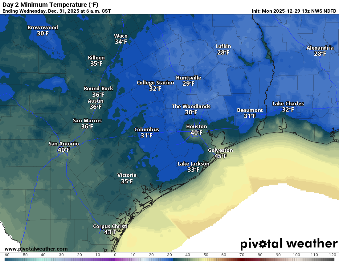
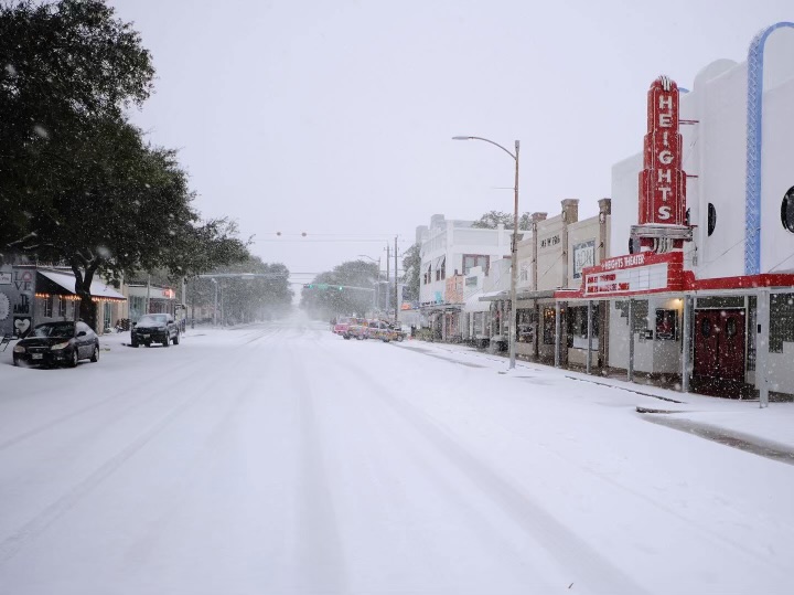
In some ways, last year was one of the quietest in recent history weather-wise for Houston. The most notable event occurred in January, with a hard freeze and widespread snowfall. Do you remember the snow? Many locations picked up 3 to 5 inches, and following this low temperatures dropped into the upper teens.
But after this January winter storm Houston’s weather turned tranquil. We made it through spring without major, widespread storms or flooding. All summer we experienced nary a tropical storm in the Gulf. Laughably, the only “threat” was conjured up on social media in July, when some non-meteorologists were energetically warning Houston that a hurricane was on the way. (It was not). Fall came and went with mostly calm weather as well, aside from a few tornadoes. Winter, to date, has been fairly mild. When you add it all up, it was a quiet year, especially after January. We see that in our website traffic. We average about 10 million page views a year on Space City Weather, and we were down by about 30 percent this year. I’m not complaining, I don’t like scary weather that threatens my home and family, either.
In one way, however, the weather in 2025 was extreme.
I am speaking about temperatures. I went ahead and plotted the average annual temperature in Houston dating back to 1969, when the official monitoring station was first moved to Bush Intercontinental Airport. It turns out this year’s average temperature of 73.0 degrees was the second hottest in the nearly six decades of records there. It was exceeded only by the mark of 73.1 degrees in 2024. In fact, the last three years have recorded the three hottest annual average temperatures at the airport since its opening in 1969.
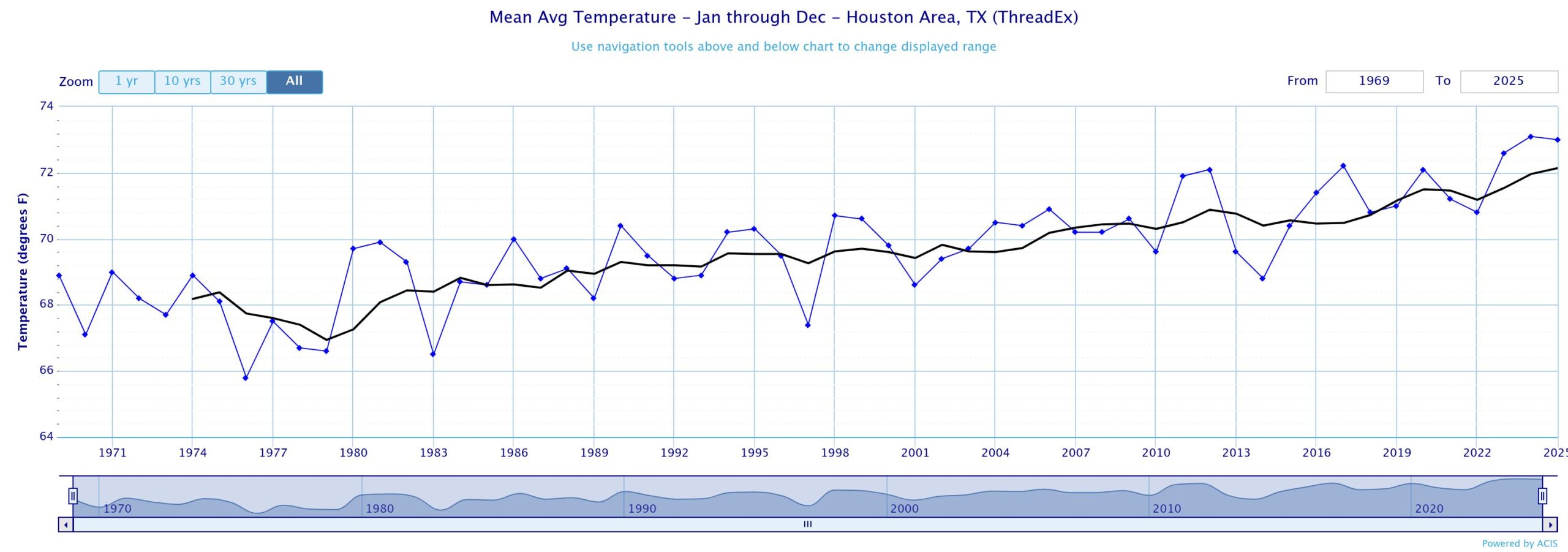
One of the things that stands out on this graphic is that the annual average temperature in the 1970s was nearly five degrees lower. Now global temperatures have not risen that quickly, and it is not possible to say how much of the warming observed at Bush airport is due to climate change. Some is very likely due to urbanization around the airport. But a significant chunk is clearly due to a warming planet, as similar trends have occurred elsewhere, including Galveston Island. There is no question that Houston is quite a bit hotter now than it was half a century ago. Even a decade ago, for that matter. That is the hidden extreme from last year.
Friday
Speaking of heat, today will bring it. Highs will crest in the low 80s, maybe even mid-80s for some locations, thanks to a warm southerly flow ahead of our next front. Winds will be gusty, from the south up to 25 mph. The record high temperature for today is 81 degrees, and I’m fairly confident we’ll strike above that comfortably. In any case, we will be about 20 degrees warmer today than is customary for early January. The warmth will be goosed by mostly sunny skies. Lows tonight will only drop to about 60 degrees, before cooler and drier air arrives on Saturday morning.

Saturday and Sunday
The weekend won’t feel much like January typically feels in Houston, but it’s going to be gorgeous all the same. We should have wall-to-wall sunshine, and lower humidity. Saturday morning will be a bit windy, with northerly winds up to about 20 mph. But they should back down during the afternoon. Highs on Saturday will be in the upper 70s, with lows on Saturday night dropping to around 50 degrees. Sunday will be splendid and sunny, with highs around 70 degrees. We’ll have another night with lows around 50 degrees on Sunday night.

Next week
Much of next week looks warm for January as a ridge high pressure builds over the central United States. Monday probably will not reach the 80s, but most of the rest of the week will be in the vicinity. Skies will be mostly sunny during the daytime, and with dewpoints in the low 60s it will feel moderately humid. Nights will be mild. At some point a stronger front will push into the region later next week, probably late on Friday or Saturday. I don’t have much confidence yet in the details, but there could be a modest splash of rain with the front, perhaps on the order of one-half inch. For many parts of Houston there has not been significant rain in nearly four weeks, so anything would be welcome.
As for my runners, let’s hope that front makes it in time for the Houston Marathon on Sunday. I’m about 75 percent confident that it will, and we’ll have start-line temperatures in the upper 40s to lower 50s, with drier air. But there are risks. One is that the front is delayed, in which case we’ll be quite a bit warmer and muggier. Another is that the front comes through just before the run, and we see some lingering showers. Overall, I’m hopeful about race-day conditions, but not confident yet.
Have a wonderful weekend, everyone. I’m going to be outside a lot, soaking in this great weather.