In brief: Today will be hot with scattered showers, but Wednesday should be more dynamic as a line of storms pushes into the area ahead of a weak cool front. Some heavy rainfall is possible with the front, but rain totals look highly variable. After this we’ll see sunny and somewhat less humid weather.
Tuesday
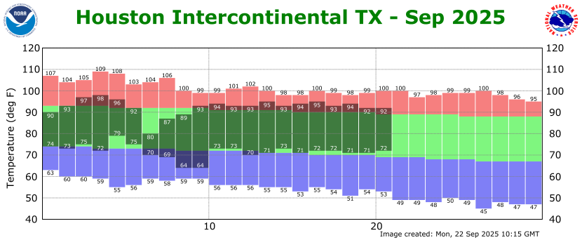
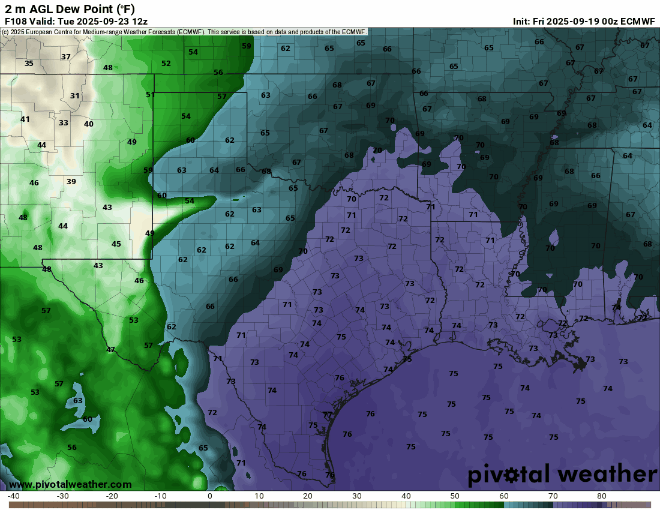
It is rather warm and muggy out there, with much of the region just barely falling below 80 degrees this morning. Atmospheric conditions are trending toward better rain chances, but Wednesday still looks like the better day at this point for widespread showers. The likelihood of rain today should be about 50 percent for areas south of Interstate 10, with lesser chances inland. With dewpoints in the mid-70s it will be a very muggy day, as highs push into the lower 90s this afternoon. Rain chances fall back tonight, with lows again perhaps only briefly dropping to 80 degrees or below.
Wednesday
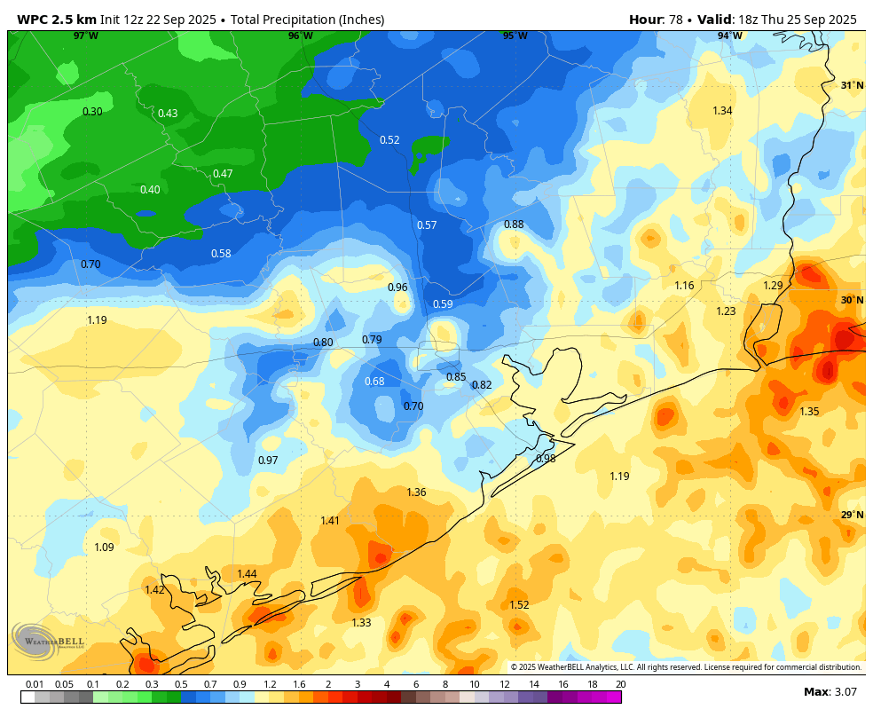
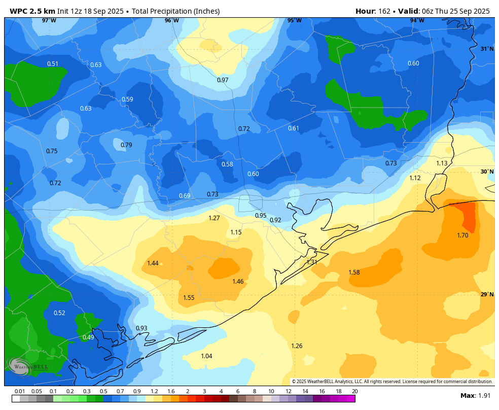
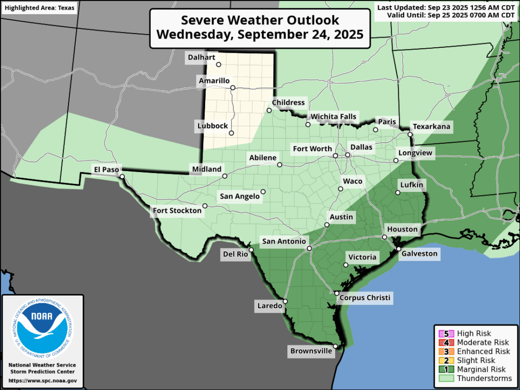
This should be the last really humid day for awhile. Showers will again be possible on Wednesday during the late morning and early afternoon hours, primarily near the coast. Later in the day a line of (broken?) showers and thunderstorms will advance from the northwest. The timing is fuzzy, but I generally expect these showers to hit the area during the late afternoon or early evening hours as a weak front advances into the area. There is a ‘marginal’ risk of severe weather, with the primary threat being thunderstorms and heavy rainfall. Overall I expect much of the area to pick up between 0.5 and 3 inches of rainfall, but higher isolated totals are possible. Highs on Wednesday should reach the lower 90s ahead of the rain.
Thursday
Rain chances will linger into Thursday morning, especially closer to the coast, as the front slowly pushes offshore. Skies should be clearing during the afternoon hours, with high temperatures likely reaching the mid- to upper-80s. Winds will be from the north at 5 to 10 mph. As modestly drier air moves in, much of the region should drop into the 60s by early Friday morning.
Friday
This should be a sunny day with highs in the upper 80s and lower humidity. Lows on Friday night should again drop into the 60s for inland areas.
Saturday and Sunday
Our modestly drier air should hold on through the weekend. With sunny skies expect daytime temperatures of about 90 degrees. Lows will fall into the 60s for inland areas, with central Houston and the coast probably dropping to around 70 degrees. It won’t be fall-like, but nights and mornings should be pleasant enough.
Next week
The drier air holds on for a few days before, I think, temperatures are likely headed back into the lower 90s for a few days. After this Thursday our rain chances appear to be quite low for awhile.
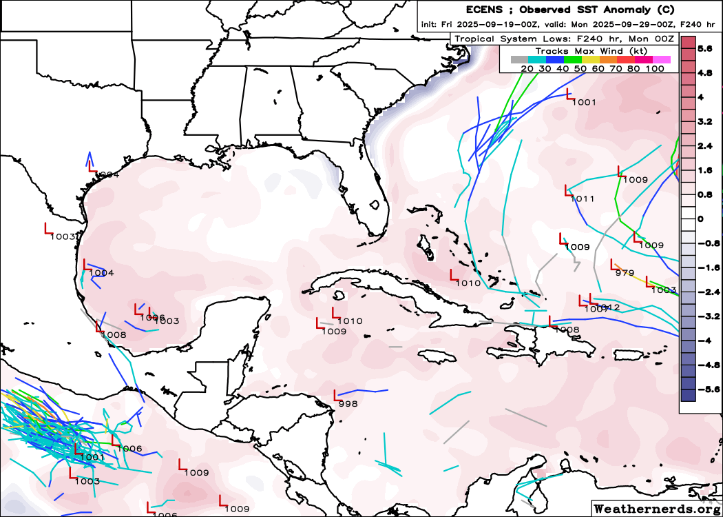
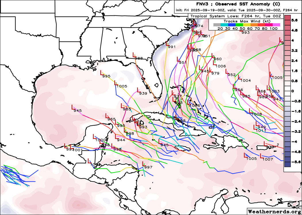
Tropics
The Atlantic tropics are heating up, and Matt has full details over at The Eyewall. The short story is that there is nothing imminent in the Gulf of Mexico and zero threats to Texas at present. We’ll have more on this tomorrow or Thursday.