In brief: Houston’s sunny and warm, but not super hot weather will continue this week. As we get closer to the weekend we may see some slightly better rain chances, but I would not expect any serious accumulations. In this post I explain why this is pretty normal for September.
Taking stock of September
We are now nearly two weeks into the month of September. The heat over the weekend may have felt a little bit too much like summer, but the reality is that for Houston September often feels like an extension of August. This is the genesis of the ongoing debate Matt and I have over which month has the worst weather here. For the record, the correct answer is August. Always August.
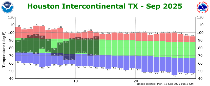
When we look at temperatures to date for this September, we are actually running slightly below normal so far this month. How is this possible? Well, recall we had that nice, early season front a little more than a week ago, and that knocked our nights into the 60s and lowered the humidity. That has made our weather over the last couple of days—which actually is pretty typical for mid-September—feel warmer than perhaps we think it should be. The front fooled us.
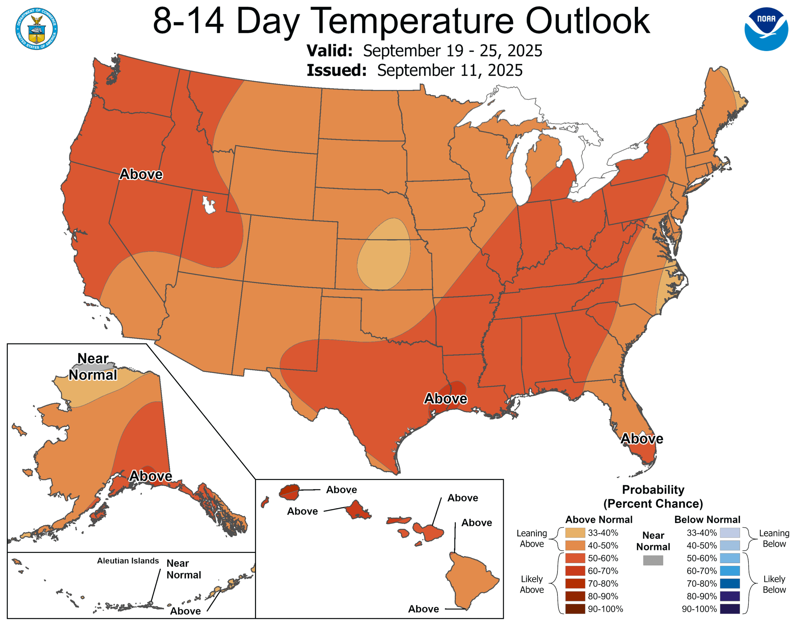
The bottom line is that although the forecast for the week ahead ahead appears to be pretty warm, and pretty humid, it is not abnormally so for this time of year. In fact it’s fairly typical. Fall is on the horizon, but alas it is not here quite yet.
Monday, Tuesday, and Wednesday
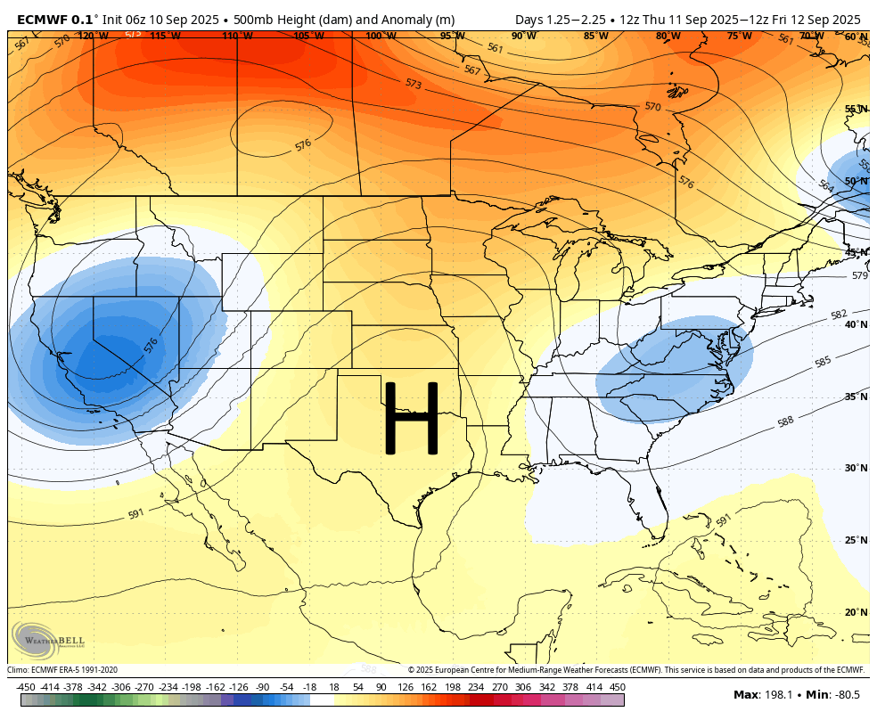
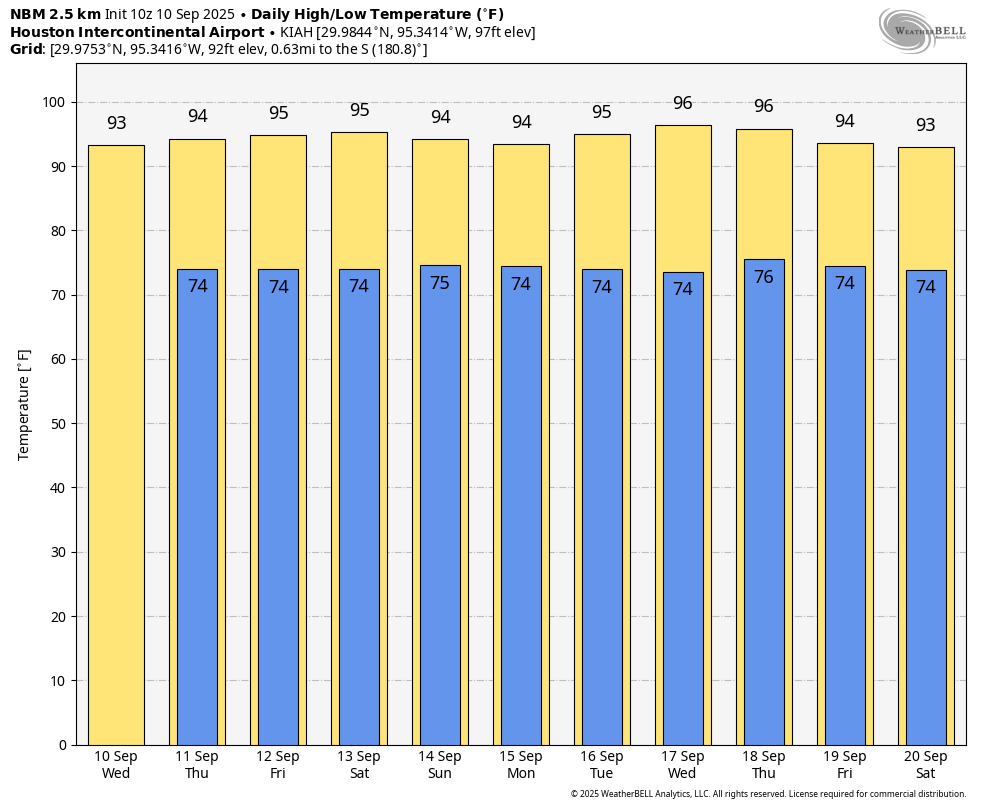
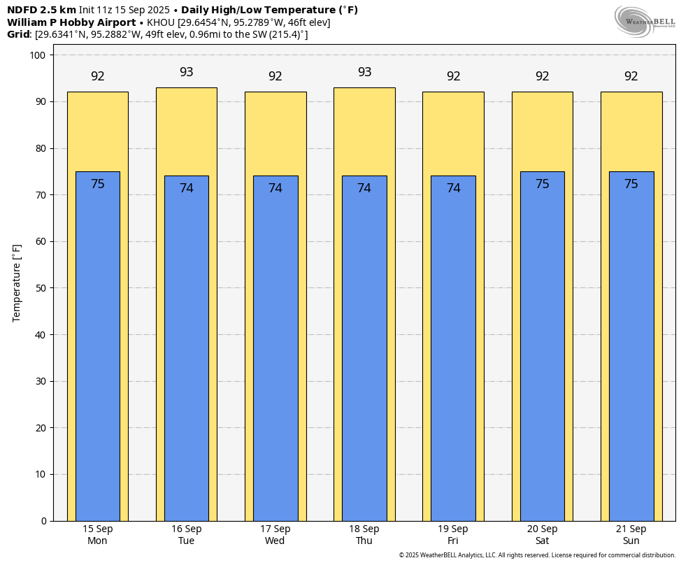
If you liked the weather this weekend, you’re in luck, because that pattern will continue. We will see partly to mostly sunny days with high temperatures around 90 degrees closer to the coast, mostly low-90s for central parts of the Houston region, and mid-90s for inland areas such as Katy and The Woodlands. We will see a chance of some pop-up showers each afternoon, but the overall odds are only 10 to 20 percent. With afternoon dewpoints in the 60s it will feel humid, but not oppressively so during the peak of summer here. Nighttime lows will generally fall to the low- to mid-70s.
Thursday through the weekend
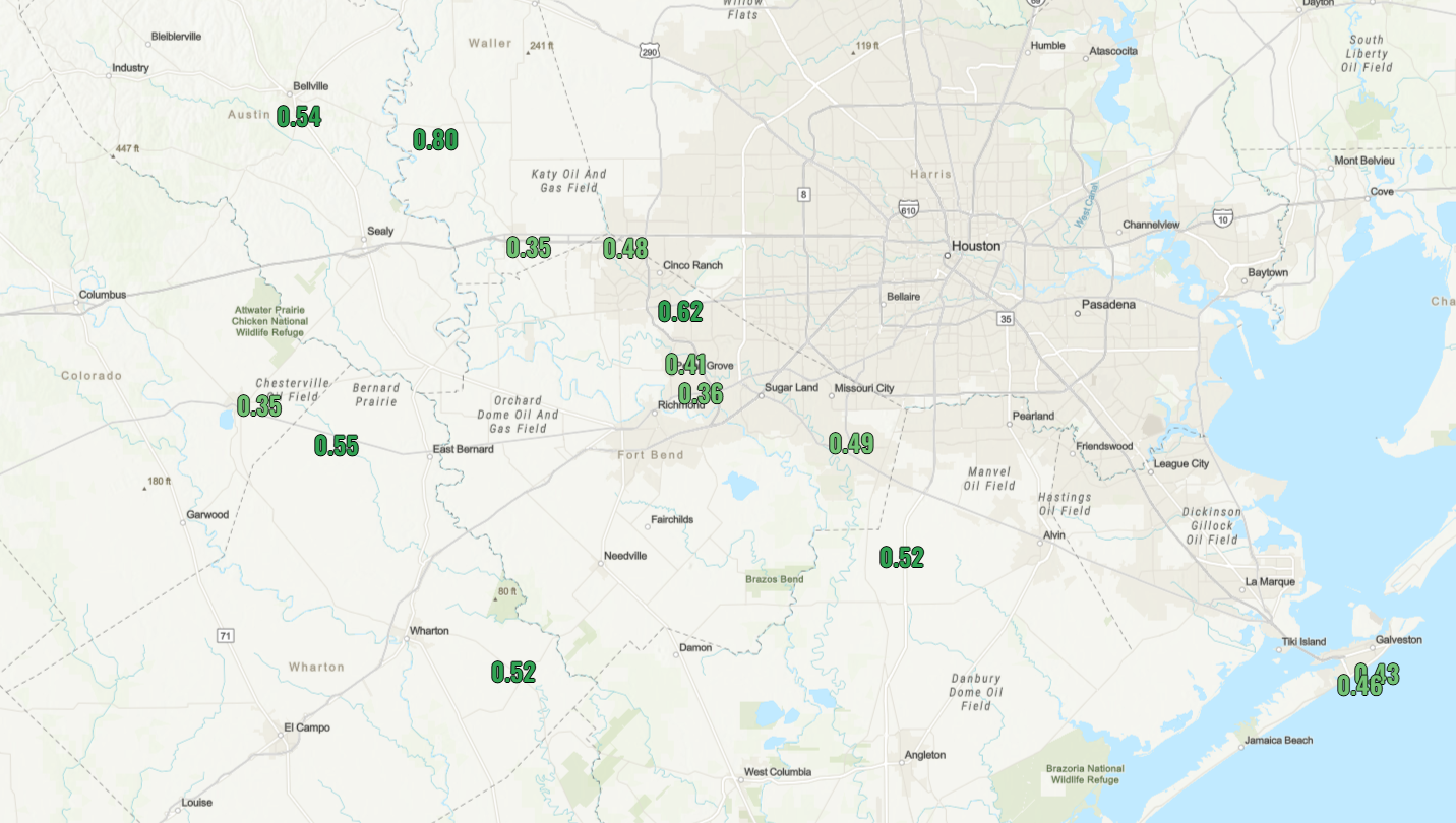
The pattern does not change a whole lot through the weekend, although we will see a slightly more disturbed upper atmosphere. What does that mean? Would see some slightly better rain chances by Thursday or so. They’re not great, but at this point it is possible that we see some 20 or 30 percent daily chances through the weekend. Any accumulations appear to be modest, so don’t expect heavy or prolonged rainfall. Highs remain in the vicinity of the lower 90s.
Does this pattern ever end?
There is some evidence to support a greater likelihood of rain by early next week, which might cool us down into the upper 80s. But this mostly sunny, mostly hot weather pattern in September is persistent, and I want to see more definitive evidence before suggesting it’s going to end.
Tropics
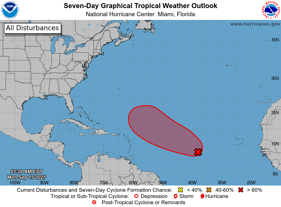
We are nearing the end game of the tropics and Texas for this year. However, we have not gotten there yet. Looking across the Atlantic basin, we are seeing things start to heat back up after a calm beginning of September. To be clear, we are presently tracking no threats to the Gulf or Texas. But we probably will have a hurricane in the open Atlantic over the next several days. We’ll take a deeper look at the tropics in tomorrow’s post.