At last, our long regional nightmare is over: Houston popped the cork on 90 degree days in 2016 on Thursday. Now we’re clear to rack up dozens of them.
It is Official… Houston Intercontinental Airport has reached 90 degrees as of 131 pm!
— NWS Houston (@NWSHouston) June 9, 2016
2016 will go down in history as having the 3rd latest first 90 degree day in Houston, just being edged out by June 12, 1970, and June 15, 1897. Like age, 90° is really just a state of mind around here. It still feels like summer. We will ease into this new reality where 90 degree temperatures can officially occur in Houston as modest rain chances flirt with us through the weekend.
TODAY
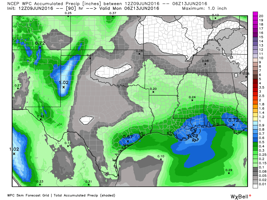
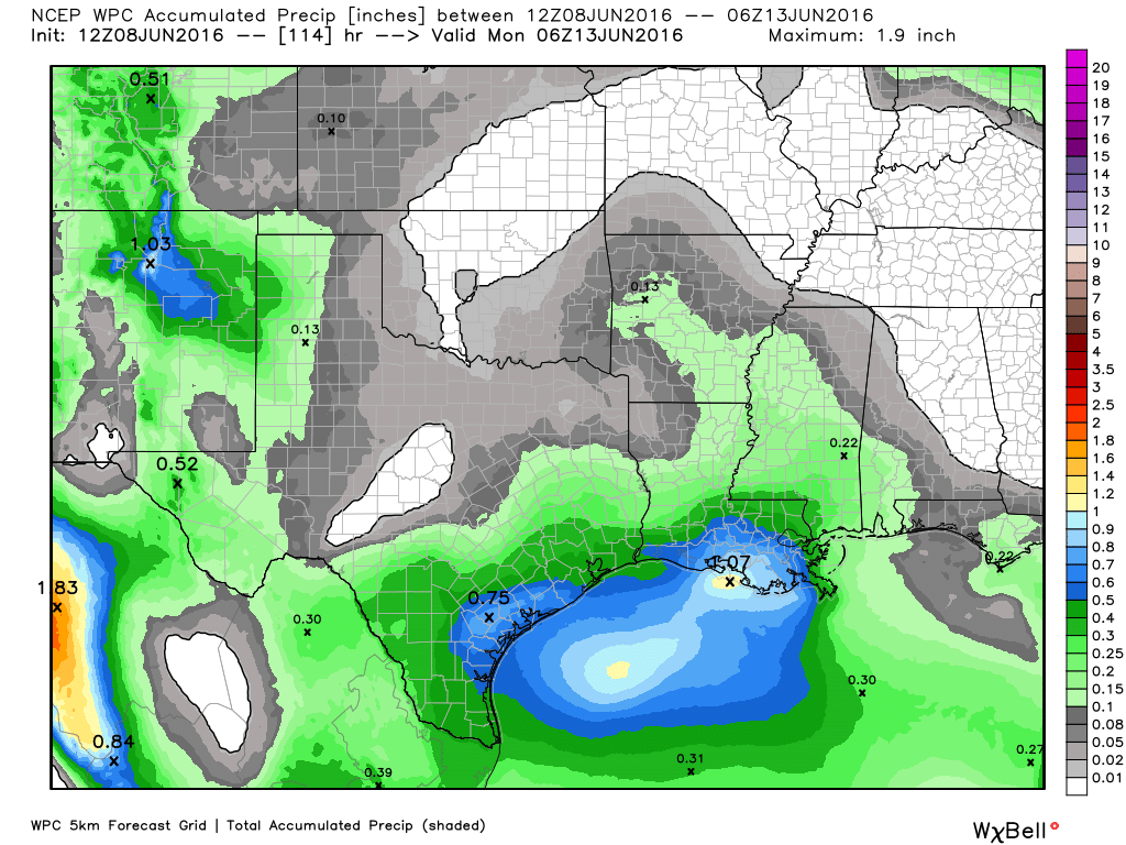
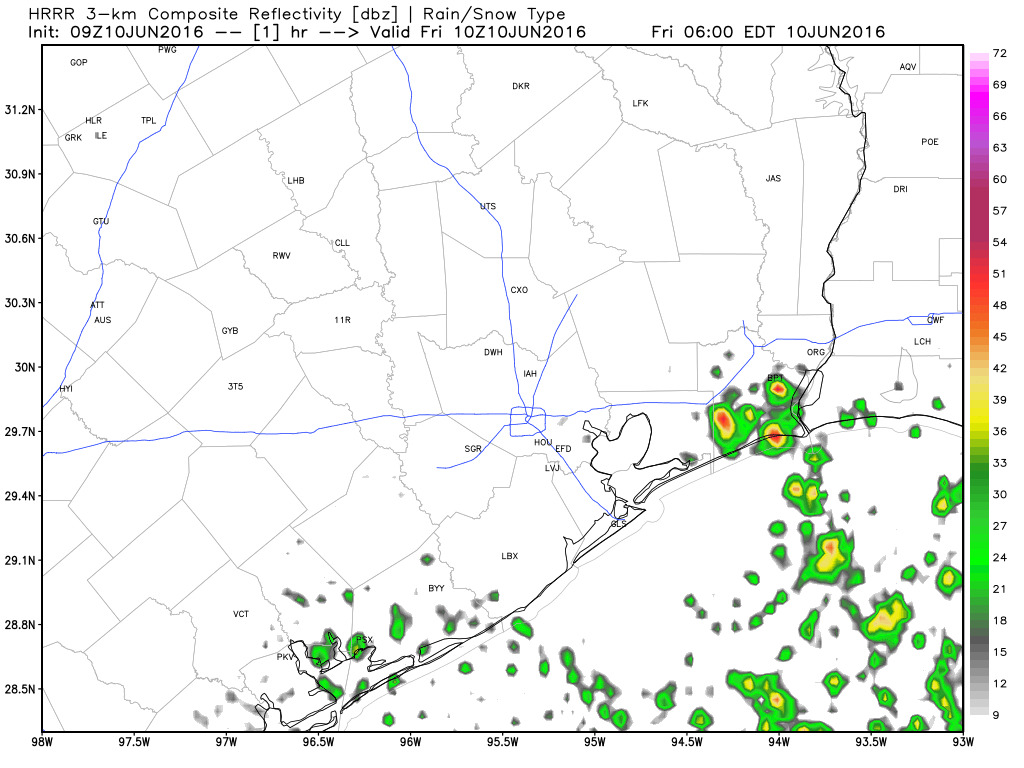
I suspect today will be somewhat similar to yesterday, with a scattering of showers or storms around in the afternoon (perhaps a downpour near the coast this morning). Temperatures will top off close to 90 degrees again, though we may fall a bit short. Storm risk today may not be quite as concentrated as we saw south and west of Houston yesterday, where over 2″ of rain fell in a few spots in Wharton, Matagorda, and Colorado Counties. But a few small clusters of showers or storms will be possible.
And just be aware that occasionally this time of year, you could see a brief funnel cloud or (along the bays/Gulf) a waterspout form. Likely nothing serious, but don’t be shocked if you see or hear reports of that occurring.