In brief: After a wetter and cooler start to summer major changes are coming to Houston’s weather. Also, our days are now getting shorter!
Sunday, the summer transition day
Sunday marked the summer solstice, the day when the Sun reaches the highest point in the sky. Slowly, now, our days will start to get shorter. If you’re keeping count, today will be about two seconds shorter than Sunday. This process accelerates until the autumnal equinox, in September, by which point we are losing 1 minute, 45 seconds of daylight every 24 hours.
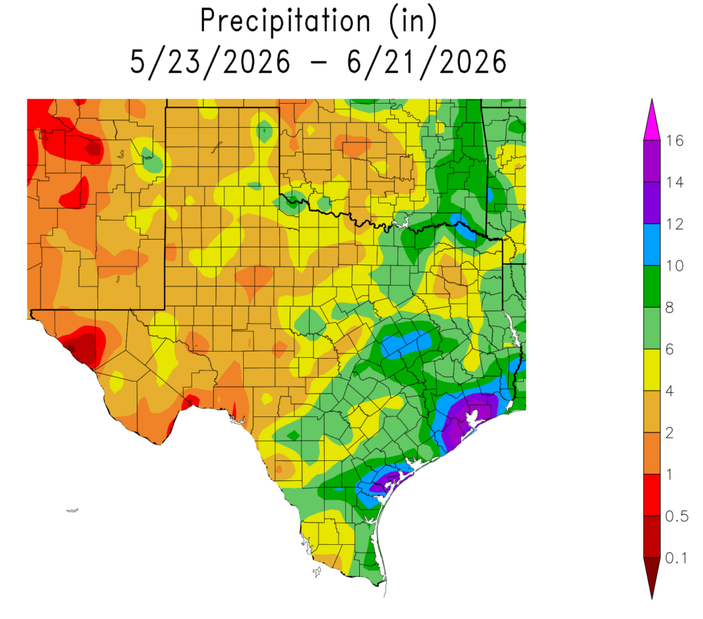
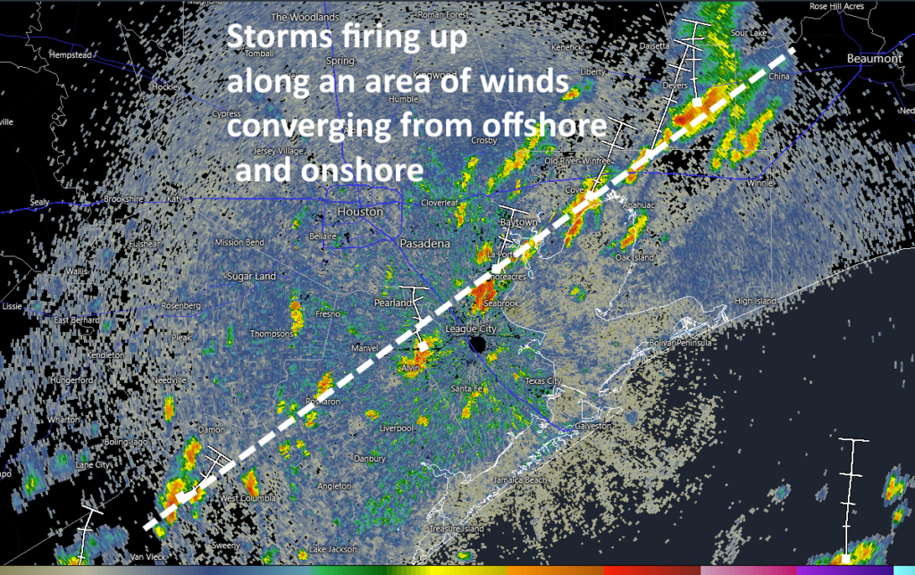
Sunday also marked an important transition day for our weather. Up until this point our average high temperature this month has been below 90 degrees. This is largely because, for a majority of days this June, we have received at least a smidgeon of rain. On some days, the showers have been absolute downpours. Over the last 30 days the majority of the Houston area has picked up 8 to 16 inches of rainfall, more than twice as much as normal. The clouds and rains have kept a lid on daytime highs. Some days it has been, dare I say—almost—nice outside?
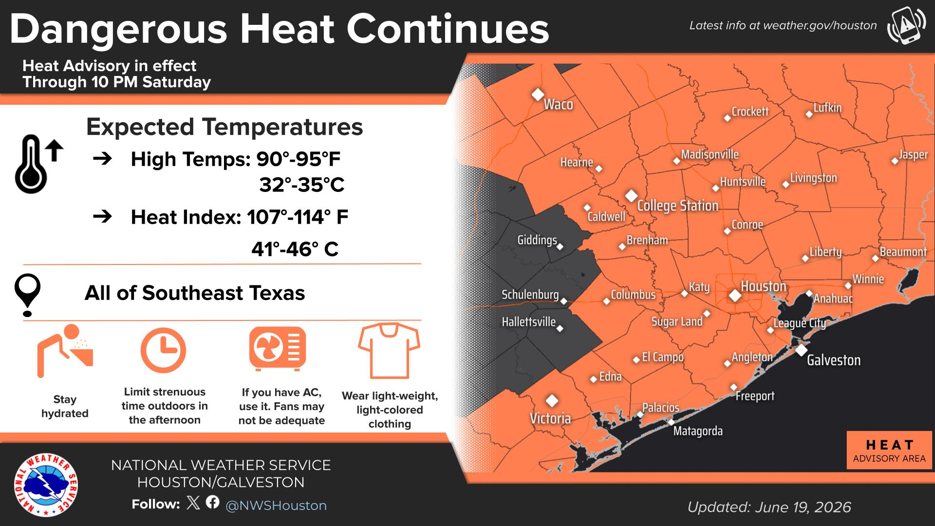
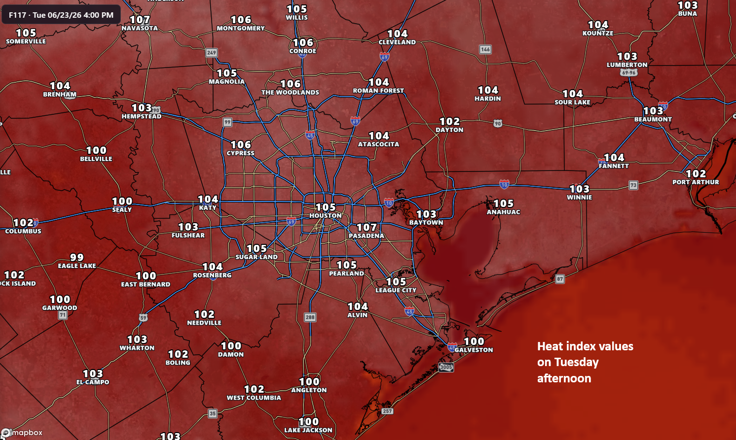
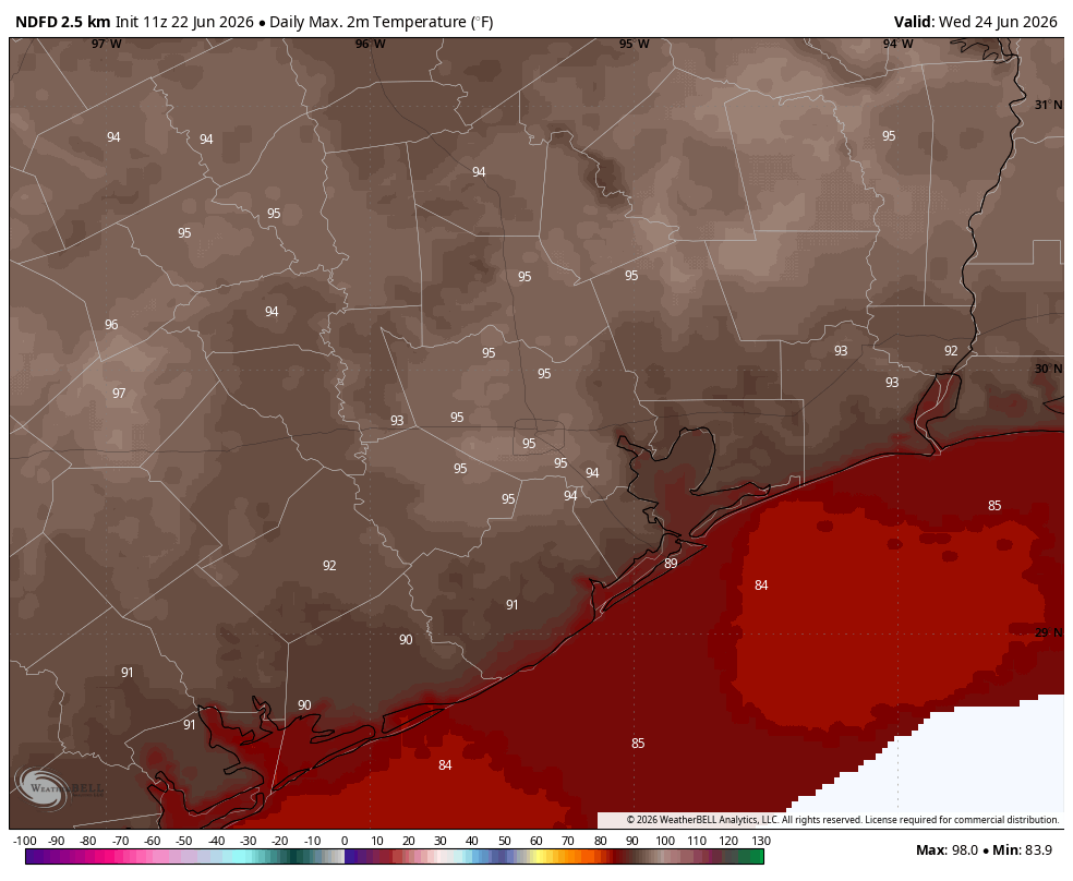
That will now change abruptly, with the arrival of high pressure. Houston is unlikely to see any rainfall for at least the next seven days. And far from daytime highs in the upper 80s, we’re much more likely to see highs in the mid-90s. We are shifting from early summer, which had a good run, directly into Mid summer.
Monday through Friday
There’s really not much of a forecast to make with high pressure in control of things. High temperatures this week will, each day, reach into the mid-90s in Houston. Coastal areas will be a few degrees cooler, and inland areas a few degrees warmer. Winds will be light in the morning, with afternoon gusts reaching about 20 mph from the south.
Humidity will be high, but not quite as high as we experienced late last week. Overnight lows will generally fall into the mid- to upper 70s. Skies will be mostly sunny, but we’ll likely see some clouds during the morning hours before everything clears out. Daily rain chances will be about 10 percent, or less. In short, it will very much feel like summer in Houston.
Saturday or Sunday
Probably nothing changes. If I squint maybe there’s a slight chance of rain on Saturday or Sunday, but probably not. Highs likely remain in the mid-90s or thereabouts.
Next week
With these high pressure systems the question is always when things break down. For now, that does not seem likely before the end of June. But possibly we may see some showers return by the middle of next week. But then again, it’s just as likely as they will not. Welcome to Houston summers yall. When it’s not flooding, the heat is next level.