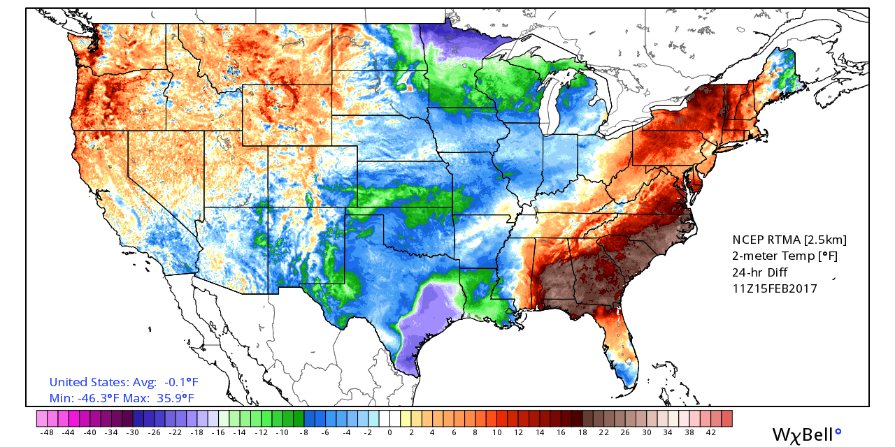
It’s quite a bit cooler across the Houston area this morning, with temperatures generally falling into the mid- to upper-40s for the region, except for along the coast where it’s a few degrees warmer. Enjoy this relatively brief bout of winter-like weather because it won’t last too long.
Today
Although a somewhat cloudy morning will give way to a mostly sunny afternoon, high temperatures will likely only reach into the low 60s. Gusting winds will die down this evening as lows tonight will fall into the 40s—lower for inland areas and upper for the coast. This will probably be the region’s coldest night for some time to come.

Thursday
Temperatures will moderate a bit on Thursday, as winds swing back from north to the south, but highs should still remain in the upper 60s. Lows will fall into the 50s.
(Space City Weather is sponsored this month by Darrell Lee’s The Gravitational Leap)
Friday
Highs on Friday should rise into the upper 70s, and an upper-level disturbance will bring a decent chance of rain into the region. Coastal regions will see the best chance of rain—maybe 30 to 40 percent—as moisture levels there will be highest. Accumulations should be fairly low regardless. Meanwhile the warm, southerly flow will get really cranked up, setting the stage for a relatively warm weekend.
Saturday and Sunday
Under partly to mostly sunny skies this weekend look for high temperatures from the upper 70s to around 80 degrees, and warm nights in the 60s.
Early next week
With the robust onshore flow this weekend we’re going to see a steady rise in atmospheric moisture levels, and as an upper-level disturbance moves into the area beginning late Sunday or more likely Monday, we’re going to a really good chance of rain. Right now I’d peg accumulations at between 2 and 5 inches for the region, but due to the high atmospheric moisture levels I’m moderately concerned about the potential for flash flooding. This is something we’ll keep an eye on you, but know there will be the possibility of heavy rain on Monday and Tuesday of next week.
Posted at 6:50am CT on Wednesday by Eric
Across the Gulf, temperatures seem to be running 5 to 10 degrees above where we would typically see temperatures in mid-February. Does this mean we are more likely to see higher temperatures this summer, perhaps into the 90’s, or rather will the Gulf simply reach it typical high temperature earlier in the season and stay there for longer. In essence, will we see a higher peak or a longer plateau?
Historically, how do abnormally warm Gulf waters in the winter and spring affect tropical storm formation in the summer and fall?
My sense is that conditions this winter won’t have too much effect on weather this summer, although we probably will reach that plateau earlier.
Enjoy this while you can people. We will be in a steam bath within three months. Maybe two the way this (non-)winter has gone.
No, I don’t think so.
What about flooding? Similar to Tax Day or more like street flooding from a month ago?
Street flooding is what I’d anticipate.