A cold front is stalling across north Texas this morning, but it may provide enough instability today to lead to the development of some scattered showers across the Houston region. This will offer our best chance of rain for awhile. Cooler weather really does lie ahead.
Today
The stalling front, combined with Gulf moisture, could produce some scattered showers and thunderstorms in Houston today, especially after noon for inland areas. Some parts of Houston may pick up a quick half inch of rain or so, but other areas aren’t likely to see any rain. Highs in the upper 80s.
Saturday through Tuesday
And so we come to summer’s last breath. As higher pressure settles over Houston we can expect temperatures to rise toward 90 degrees, and possibly even reach that mark. Lows should fall into the low 70s. Higher pressure also means mostly sunny days with rain chances near zero.

I’ll say this—if you’re looking for one more beach weekend this year, you’ve just found it.
Wednesday and beyond
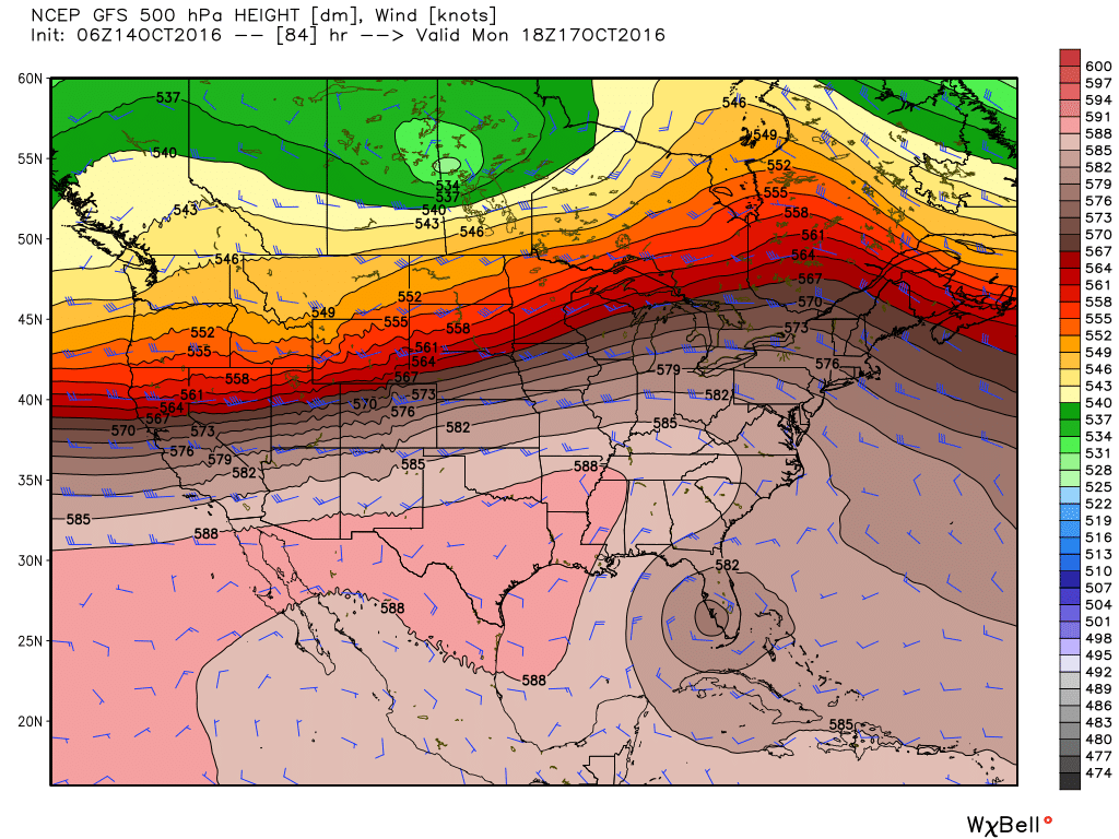
We can now say with high confidence that the end of this summer-lite weather in October is in sight. The global models have come into better agreement and now bring a cold front into the Houston region late on Wednesday or sometime on Thursday, and this looks like a classic front with strong northerly winds and cooler air along with its passage. Some rain is possible ahead of, or along with the front although there’s no certainty about that, and the models appear to be less bullish today on rain chances.
We might see highs around 80 degrees, or even lower, by Friday of next week, with lows down to around 50 degrees for all of Houston except areas immediately along the coast.
Posted on Friday by Eric at 6:50am CT
Has forecaster confidence increased regarding rain/storm chances since you last posted this blog, Eric?
Confidence is increasing in less widespread rain.