Houston had another staggeringly warm morning today, with the low only falling to 81 degrees. This continues the warmest start to July, in terms of average daily minimum temperature, on record for the city of Houston. We’ve now recorded five consecutive mornings with a temperature of 80 degrees or higher, which is also a record. Some readers have asked why this warmth is occurring, and I will dive a bit deeper into that question later today.
For now, let’s look at the forecast.
Today through Monday
The forecast remains more or less set in stone. With high pressure in place over Texas, the region is likely to continue to see high temperatures in the mid-90s, lows around 80 degrees, and mostly sunny skies. With the high weakening a bit this weekend we might see a few scattered showers on Saturday, or perhaps Sunday, but by and large the region is going to remain dry and hot. Daily high temperatures and humidity should remain just below the level at which the National Weather Service would issue a heat advisory, however.
Tuesday through Thursday
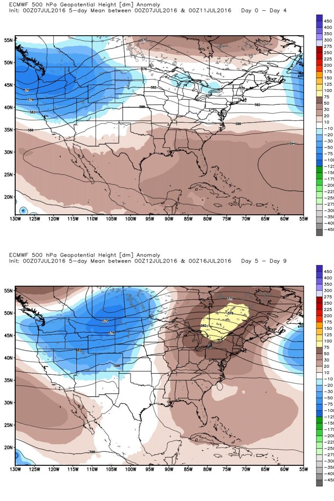
Pressures should begin to fall a little bit by Tuesday or so, and in addition we should see some rising instability in the atmosphere.

Along with high moisture levels this should lead to some slight rain chances on Tuesday, and better rain chances on Wednesday and Thursday for the Houston metro area. We’re not talking about any kind of washout, but I would hope for at least half of the region to see a few tenths of an inch during the middle of next week.
Beyond that, to begin the second half of July, it appears to me that we seem unlikely to fall back under a dominant ridge of high pressure, which should mean that we see at least some sea breeze showers on some days. We’ll want the rain.
thanks Eric!
A few tenths of an inch, Eric? What kind of showers are you talking about? The hit-and-run kind?