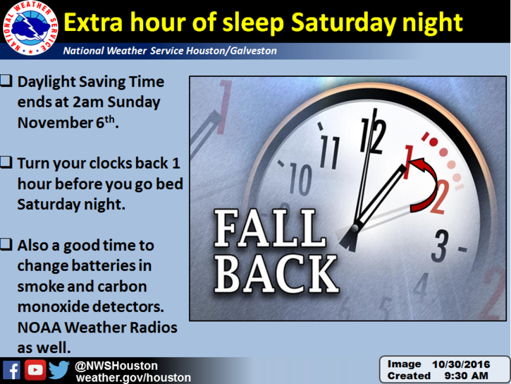
A friendly reminder from us at Space City Weather: This weekend marks the end of Daylight Saving Time. Importantly, we get an extra hour of sleep Saturday night. Hopefully you take full advantage of mostly nice weather Saturday to enjoy that extra hour.

Today
Today will mark the transition to a kinder, gentler air mass for early November. A weak cold front, though a front nonetheless, will sag south through the region today. It could very well set off a few showers or thunderstorms as it drops south, though nothing widespread is expected. Temperatures will peak in the mid 80s this afternoon. You may notice slightly lower humidity by evening, particularly if you live northeast of Houston.
Weekend
Take full advantage of the daylight Saturday in Houston, because it looks like a winner. Humidity should drop off a bit, and we should see a good bit of sunshine. Highs will peak around 80°, and we’ll see lows in the 50s and low 60s Saturday night. While Saturday looks like the pick of the weekend, Sunday should see increasing clouds and a chance of a few showers, especially west of I-45. Humidity will also slowly edge back up.
A lot of events in and around Houston this weekend. We can’t cover them all, but here’s the forecast for the 5th annual Houston Margarita Fest at Sam Houston Park downtown on Saturday:

Just a note of caution: If you live southwest of Houston or off to the northeast of the city, I can’t rule out a shower Saturday. There may be *just* enough “lift” in the atmosphere leftover from the front southwest of town to generate a few showers there. A weak disturbance could touch off a few showers northeast also.
Next Week’s Rain Chances
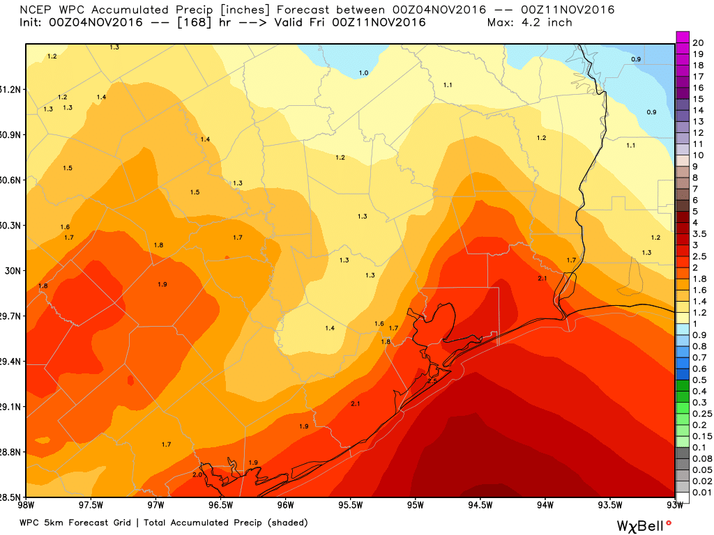
As it stands right now, there’s going to be a chance of showers pretty much every day next week. The best chance for widespread showers and a few thunderstorms around Houston will be Monday I think, with the highest odds shifting closer to Beaumont and the Golden Triangle on Election Day. It’s still a bit early to say exactly how Wednesday through Friday will shake out, but with relatively high dewpoints hanging on, I suspect there will be enough moisture to keep a shower chance going. How much rain? It’s going to be somewhat sporadic. Some areas could see upwards of 2-3″ of rain next week, while a few others may see a half inch or less.

The good news is that the change in the weather pattern to a more autumn feel is still on track, and we should see many more lower or middle 70s for highs and lower 60s or 50s for lows by later next week. So not cold just yet, but certainly nicer. If you missed it, I went in depth yesterday about why that is. It will get cold soon enough, but it will require patience. In the meantime, enjoy the daylight Saturday!
These fronts are a lot different this year. Seems like in years past, there would be really strong winds, and the temps would drop 20 or 30 degrees in a matter of hours. This year they just seem to sag through with a very gradual cool down.
It’s been interesting. In almost every cold front passage we’ve had this autumn, the lower dewpoints have been advected in from northern Louisiana. Basically, like a “backdoor cold front.” I don’t think we’ve had one instance of dry air straight down the Plains into East Texas yet this year. There’s just no legitimate cold in the US right now. I’m not sure when we’ll see our first true “norther,” but I’m guessing it might be a bit longer.
For me, setting the clock back means I will wake up Sunday at 5AM rather than my usual 6AM.
Nice Office Space quote
Argh. So a birthday party Monday morning should probably happen indoors?
I don’t know if I would entirely bank on it. If you can tolerate some flexibility in plans, maybe have both options available. But if you need 100% good weather, best to go indoors because the rain chance will be there.
Thank you so much! I really appreciate the good work you guys do.