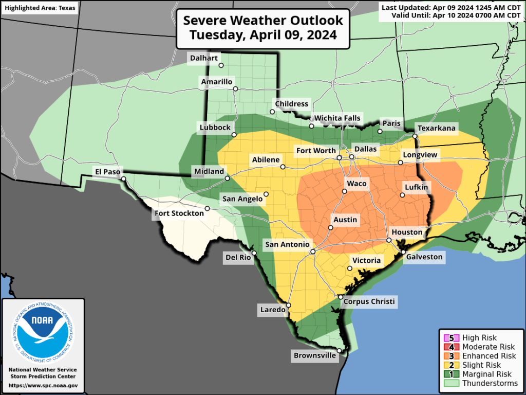
Summary: The atmospheric setup looks favorable for severe weather after midnight tonight, especially for the northern half of the Houston metro area. It’s the kind of night when you may well be awoken by thunder and lightning, and heavy rain. After this, a front sweeps through on Wednesday to bring us some of last truly chilly air of the season.
Tuesday
It’s a warm morning, and the Houston-area radar is fairly quiet. We are likely to see some showers today, with the possibility of a few thunderstorms mainly north of Interstate 10. However, it now appears as though the threat of stronger thunderstorms will wait until late Tuesday night into Wednesday morning. We may see a bit of sunshine later this morning, but skies will turn mostly cloudy this afternoon, and this should help to limit high temperatures to the low 80s. Winds will be gusty from the south-southeast, at times exceeding 30 mph.
Tuesday night into Wednesday morning
A surface front associated with an upper-level system will spur the development of widespread showers and thunderstorms overnight. Although the details are not yet entirely clear, it appears as though a mass of storms will congeal to the west of Houston sometime after midnight, and move through the metro area between 2 am and 8 am on Wednesday morning.
The overall environment is favorable for strong to severe thunderstorms, with plenty of atmospheric lift and convective energy. Generally, the potential for severe weather will be higher north of Interstate 10, but the entire metro area is at some risk for storms. What does that mean? It’s the usual mix of threats in Houston: Damaging winds, large hail, and tornadoes. These storms will also produce heavy rainfall, so some locations could quickly pick up 1 to 4 inches of rain, briefly flooding streets.
On our scale of excitable dogs, I expect tonight to be an 8 out of 10, as these storms wake our furry friends.
Wednesday
The worst of the weather should clear the area, from west to east, by around sunrise or shortly afterward. Winds will turn westerly, and I expect clearing skies by late morning. Highs will be in the upper 70s, and later in the day it will turn increasingly breezy. Northwesterly winds will likely gust up to 30 mph or higher through the overnight hours. Lows will drop into the 50s in Houston with the influx of drier air.
Thursday
This will be a lovely spring day. Expect dry air, with highs in the upper 70s. Winds will die down a bit, with some gusts still reaching 20 mph. Thursday night will likely be the coldest of the week, with lows dropping into the low- to mid-50s. This may be the coldest night until late September or October, in fact.

Friday
A sunny, calm day with light winds. Expect highs in the upper 70s, and lows a few degrees warmer than Thursday night. This will be the last day with really dry air.
Saturday and Sunday
The weekend will see a warming trend, with a mix of sunshine and clouds. Expect highs in the low 80s on both days, with increasing levels of humidity—although nothing too crazy. Southerly winds will be breezy, with gusts perhaps on the order of 20 or 25 mph. But overall, it will be a mild spring-like weekend in Houston. Plan outdoor activities with confidence.
Next week
While the details remain fuzzy, most of next week should be fairly warm and humid. Expect highs in the mid- to possibly upper-80s, with warm nights in the 70s. We’re still going to see some more fronts this season, but they’re no longer going to arrive with any regularity. So it goes in April.

Ugh. Yay… I love the rain but hate the strong storms. Especially the overnight ones. Ever since our tornado incident during Harvey, nighttime storms have me feeling like a chihuahua on the 4th of july.
Y’all are the best weather guys ever! Love the excitable dogs scale! So glad I found you! I’ve told all my friends.
“Congeal” is such a fun word…I love that I can come here for honesty about the weather…and fun words now and then 🙂
I am driving home from Dallas. Should I return Tuesday or Wednesday?
Just got back from Dallas just barely escaped the severe weather there only to find it here, but at least I was able to witness the full eclipse with only few high clouds, what a remarkable experience that was.
I got to see the Eclipse yesterday in Houston. The clouds parted and there it was at 1:30 pm. And it was just covered with a thin cloud so I could see it without glasses!
Hopefully this will be one of those rainy low pressure dominated summers. I really don’t want another summer like last year again. It can’t be that bad again this year.
Agreed! I hope its not like last summer where he had constant high pressure. Stormy summer, please.
Except low pressure sucks in hurricanes….
Good news for artcar parade on saturday!
Rain, please!
Yes! I don’t get it. Why there is such a strong cap right now, given the upper low just to our west, which usually brings heavy spring storms to Houston??
“North of I-10” = “Huntsville, Lufkin and College Station.” It would be better said as “North of 99.” The Heights, Kingwood, Jersey Village, Cypress, etc. are all north of I-10 but that’s rarely what is meant these days. “North of I-10” means Grimes and Walker Counties. I fail to understand why Houston weather people can’t better specify the 150 mile swath they want to cover. It’s so frustrating to constantly see “60% chance of strong storms”, for example, which doesn’t apply anywhere near Houston.