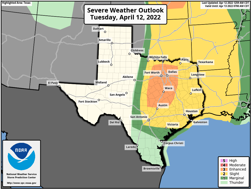
Good morning. We’re watching the possibility of storms, which may or may not break through a capping inversion today and Wednesday. What we’re certain of is that it will continue to be warm and muggy, with highs in the 80s, before a splash of dry air arrives on Wednesday night. Easter weekend still looks warm and mostly sunny, for the most part.
Tuesday
Lows this morning have only fallen into the low 70s for much of the region, and we’ll continue to see a warm southerly flow today with highs in the low 80s and cloudy skies. Winds may gust from the south as high as 20 to 25 mph. There will be battle in the atmosphere between a handful of disturbances pushing through, and whether the moist air at the surface can rise high enough to combine with these systems to produce storm activity. The limiting factor is a layer of warmer air, aloft, that may prevent the moist surface air from lifting too high to feed thunderstorm development.

The most likely time period for the capping inversion to break will be this afternoon and early evening, in which case we might see briefly heavy rainfall, damaging winds, or hail. However the most likely scenario for most of us is probably gray skies, with light rain. Accumulations for most will probably range from 0 to 0.25 inch of rain. So storms will probably be the exception, rather than the norm. Lows tonight will only drop into the low 70s again.
Wednesday
The approach and passage of a weak front on Wednesday and Wednesday night will allow for another chance of rain, but again a capping inversion may inhibit most of this activity. As I don’t think the front will reach our area until later Wednesday, I expect highs in the 80s for Houston, with at times gusty southerly winds. Lows on Wednesday night should drop into the low 60s as moderately drier air moves into the region, likely penetrating all the way to the coast.
Thursday
This should be a mostly sunny day, with somewhat drier air leading to highs in the low 80s, and overnight lows probably dropping into the 60s again. So, pretty nice.
Friday
The onshore flow resumes pretty quickly, so we can expect a mix of sunshine and clouds on Friday, with highs in the 80s, and increasing humidity levels.
Saturday and Sunday
The weekend forecast calls for a mix of clouds and sunshine. While we can’t rule out some scattered showers, overall chances are low and I’m reasonably confident things will stay dry. Temperatures will depend on the extent of cloud cover over our region, but I think we’ll probably get into the mid- or even upper-80s. So Easter Sunday could end up feeling fairly sultry—we’re thinking this could be a Stage 3 or even Stage 4 type event for melting chocolate.

Next week
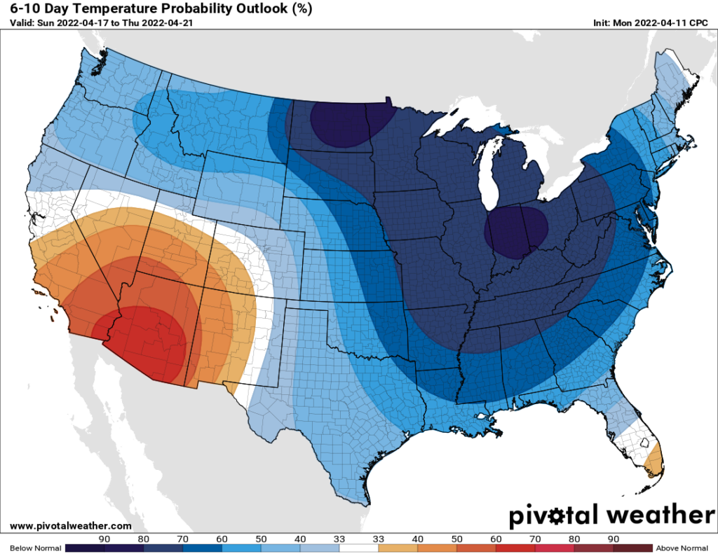
A cold front is still in the cards for next Monday or Tuesday, but the strength of it, and how much of the cold air that will funnel into the United States drops all the way down to the Texas Gulf coast, remains in question. Lows in the 50s remain the most likely possibility, but we shall see.
Rain, please!
in moderation, please!
I’m traveling to Waco this afternoon. Should I be concerned about driving north?
I like the new Melting Chocolate scale.
It is all fun and games until the chocolate starts melting.
I may be showing my age but mid-April is too soon to be this warm/hot. I’m okay with a bit of rain to wash out the pollen but not anything that would make Eric and Matt issue a Stage 3 flood warning.
Get rid of this damn wind, please.