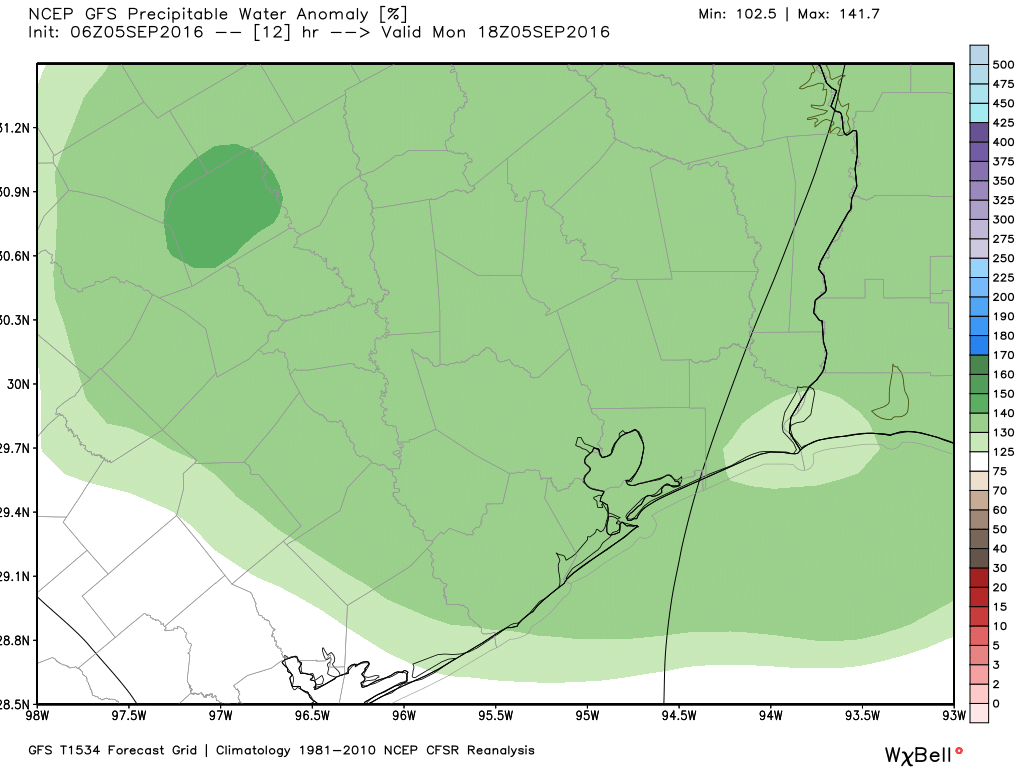
It may have been difficult to discern, but Friday and Saturday morning were a bit cooler and drier for Houston, especially northern parts of the region. Well, forget about that now, moisture began returning on Saturday to raise dew points and storm chances for the Labor Day Holiday.
Houston should see more of the same locally heavy storms that developed on Sunday across the region later today, although there may be some increase in coverage. As the storms should stream through the region at a fairly decent clip I don’t anticipate any flooding, but some areas could pick up 2 to 3 inches pretty quickly (while a few miles away may see dark clouds, but no rain).

This storm activity should limit high temperatures to about 90 degrees today, and rain showers should end this evening with the loss of daytime heating.
We should fall into a mostly September-like pattern for the rest of the week, with highs around 90 degrees, and perhaps a 20 to 30 percent chance of afternoon showers. Lows will unfortunately remain in the mid-70s, but both the European and the GFS model are showing the possibility of a cold front reaching the Houston area by the middle of next week. We’ll be watching closely for it.
All for now—I’m off to enjoy the end of Labor Day weekend.
Posted by Eric at 8:40am CT on Monday
Let’s figure out how to put a really, REALLY, GIANT FAN behind that cold front!
Cold front !?!? – BRING IT ON !!!
Already having some off and on drizzle around Ellington .
Eric/Matt…Hurricane season lasts through Nov. 30…I’m thinkin’ “IKE”, 9/13/08 was our last significant strike…I’m curious…historically, when was our latest tropical storm/hurricane strike…sorry as this is a poorly camouflaged attempt to look forward to when I can get rid of this “worry bead”…
Every year I note the date Sept. 24th, Milt. After that Texas has approximately a 1/50 chance for the rest of that year of being struck by a hurricane.
In other words, three weeks to go.
Thanks Eric…my worry beads will be stowed on Sept. 25…