East Texas has been on the dry side of Hurricane Hermine in the Eastern Gulf. Typically we have onshore winds this time of year, but the last couple days, we’ve had winds coming from the north and northeast, ushering in just enough slightly drier air and sinking air to help temperatures surge into the mid and upper 90s (97° officially yesterday). Dry air is easier to heat up than high humidity air, so it’s been a hot couple of days. We’ll begin to transition back to typical late summer this weekend.
Today
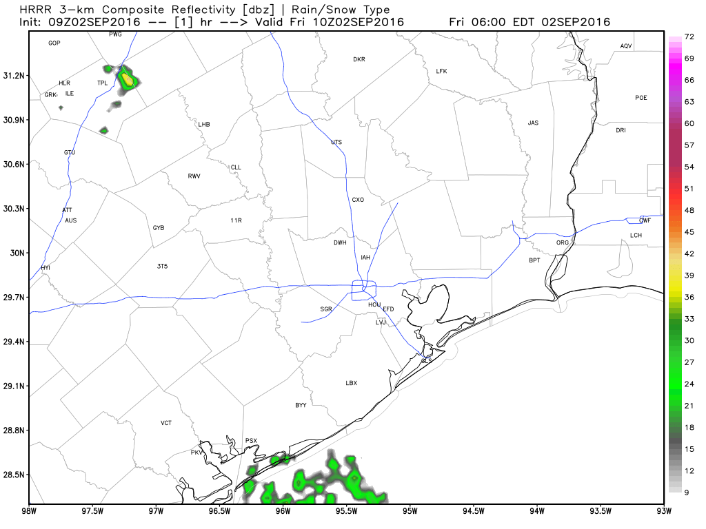
Things start to get a little tricky today. Fortunately they won’t have major implications, but it may impact the details of the forecast a bit. A weak cold front to our north will drop southward today. It should essentially stall out and start to fall apart over us or to our north. Combined with the sea breeze returning, those two will act as a minor focus for some showers and storms this afternoon. The best chance for storms today will be west of I-45, but they will be very sporadic and hit or miss.
With a little more humidity and onshore flow (and storm chances), we’ll see high temperatures just short of where they’ve been the last couple days. Expect low to mid 90s today instead of the mid to upper 90s of Thursday.
Holiday Weekend
The stalled out, weakening front will act as a bit of a focus for showers and storms this weekend. That, coupled with a surge of Gulf moisture (see loop below) should help ensure we have a mixed Labor Day weekend. Saturday probably has the smallest chance of rain, with just a few hit or miss showers around, mainly west of I-45 again. By Sunday, chances edge upward a few ticks, and by Monday, shower chances should peak. Coverage of storms should be about 20-30% of the area on Saturday, 30-40% Sunday, and 40-50% Monday.
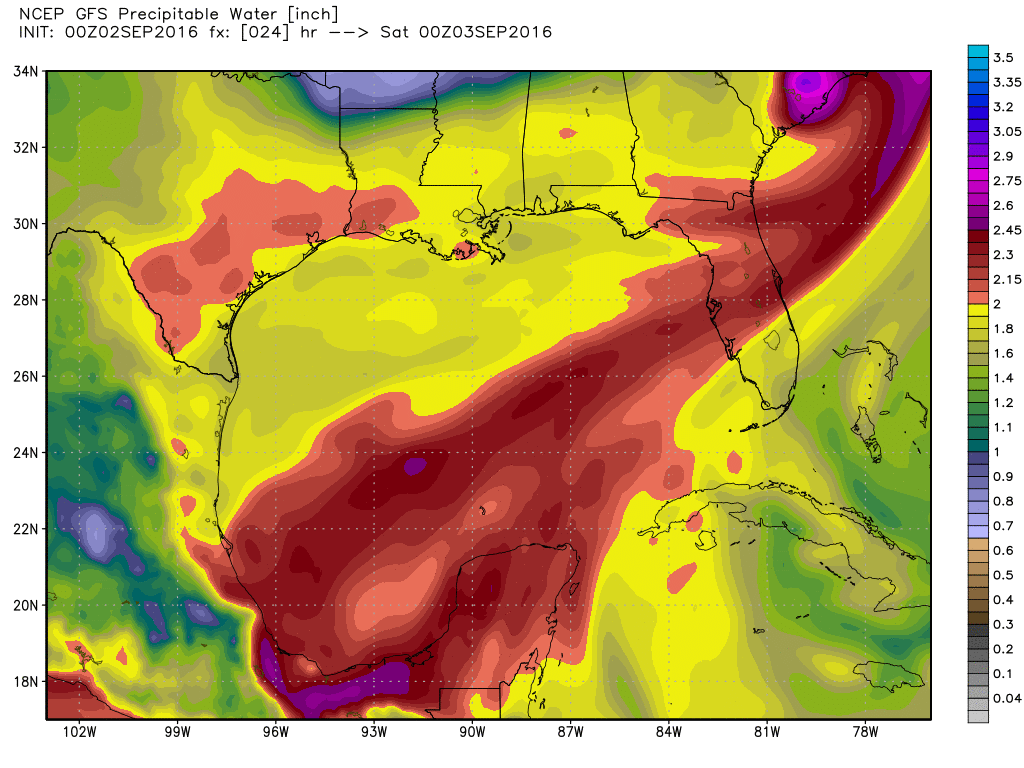
With this surge of Gulf moisture, the potential for heavy rain really ramps up Monday. No, not everyone will see storms Monday, but those that do may see considerable rain rates for a short time. If you’re planning to travel Monday, keep in mind that you may be slowed in a few spots.
Temperatures will cool down a bit further this weekend. Expect around 90° to low 90s for highs and even a bit cooler Monday if it rains. That’s really not bad at all for early September!
Bottom line: Go forth with all your weekend plans, but your odds of taking a brief timeout for a passing shower increase as you get closer to Labor Day itself, with perhaps some heavy rain in spots Labor Day Monday.
Beyond Labor Day
Generally speaking, it looks pretty standard for early September after the holiday weekend. Expect high temperatures in the upper 80s to low 90s and just a slight storm chance. The good news? Average high temperatures drop from 93° today to 91° next Friday to 90° on Friday the 16th. It’s slow, but we’re creeping our way toward more pleasant weather.
Tropics
Hurricane Hermine made landfall near St. Marks, FL just after Midnight and is currently near Valdosta, GA, holding as a strong tropical storm.
#Hermine making landfall, coastal flooding escalating as S winds sweep onshore and astronomical high tide approaches pic.twitter.com/AdYGfCIH7n
— Stu Ostro (@StuOstro) September 2, 2016
Hermine is forecast to ride up the coast, exiting near Cape Hatteras, NC and then stalling for quite literally days east of New Jersey and south of Long Island, likely creating coastal flooding issues in that part of the world. Meanwhile, there’s nothing of serious concern for Southeast Texas out there right now, which is great news. But as always in September, we will keep watching.
Posted at 6:45 AM by Matt
“Meanwhile, there’s nothing of serious concern for Southeast Texas out there right now, which is great news. But as always in September, we will keep watching.”
Don’t be too sure about that, Eric. 92L has been reactivated by the NHC again. It will definitely bear watching. And, besides, you said we had a very wet August, and the last very wet August we had was back in 1900. And we both know what happened then…..
This is of course why I said we will keep watching. 🙂 But there’s no model support for 92L to develop right now, and if it were to develop, like Hermine, it would be extremely slow to get off the ground. Given that the Atlantic basin is becoming modestly more hostile for tropical development, if something were to develop, it would be homegrown in the Gulf. Always a risk, but again nothing out there says that’s happening in the next 2 weeks. So we’ll be watching, but there’s nothing to worry about at this time.