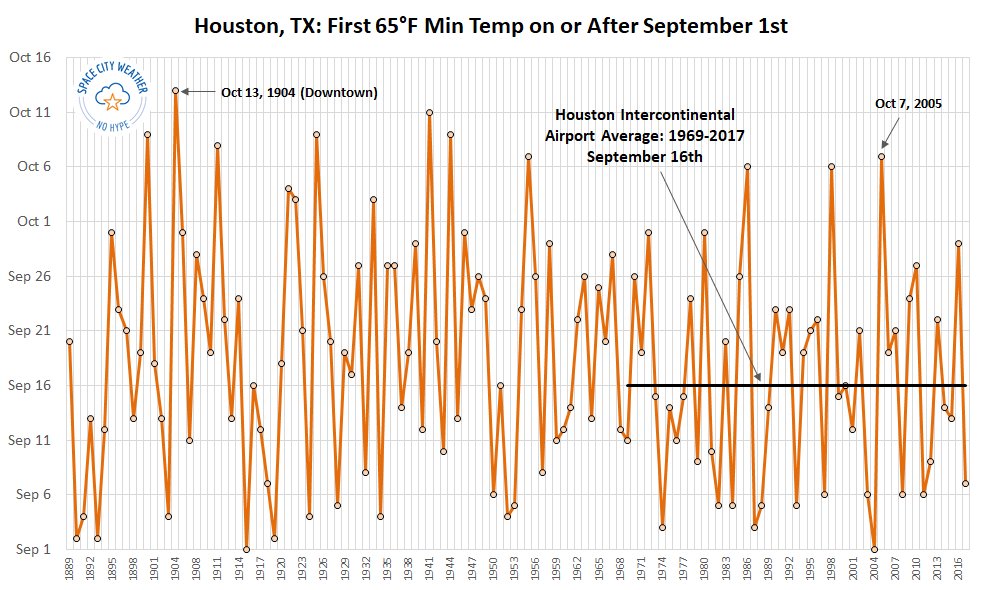
The temperature at Bush Intercontinental Airport fell to 64 degrees this morning, which semi-officially means that “fall” has arrived in Houston. According to our records, this is the second-latest date on which a 65-degree or cooler night has come to Houston in the months of September or October. The only later date came back in 1904, on October 13th.
Despite the long wait, we can now look ahead to very fine weather in the coming days, so let’s get right to it.
Thursday and Friday
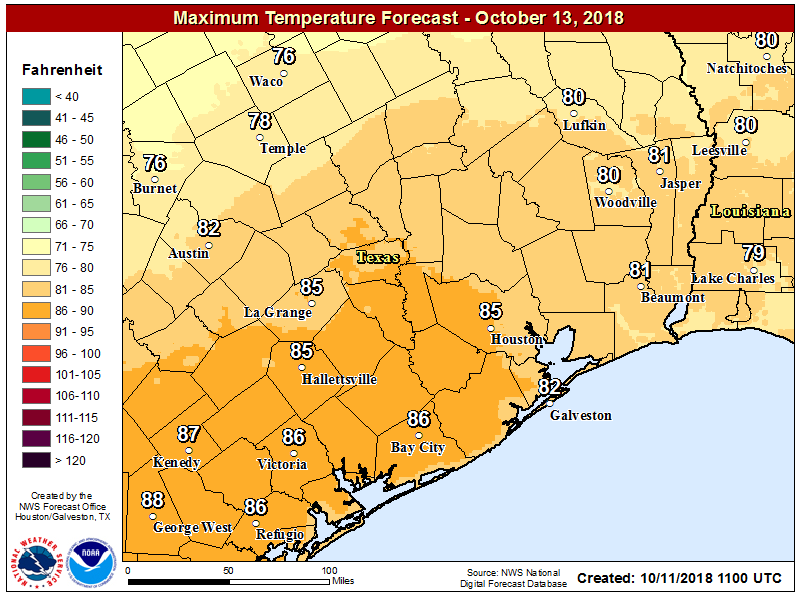
Hello, fall. We’ll have two sunny days, with high temperatures around 80 degrees. Thursday night into Friday morning should actually be a couple of degrees cooler than this morning, but Friday night will be a smidge warmer as we begin to feel the rumblings of the onshore flow.

Saturday
The nicest weekend day we’ve seen in five months, even though humidity levels will be on the rise. Expect partly sunny skies, with highs in the mid-80s. Saturday night will be warmer, with the returning humidity, and lows around 70.
Sunday
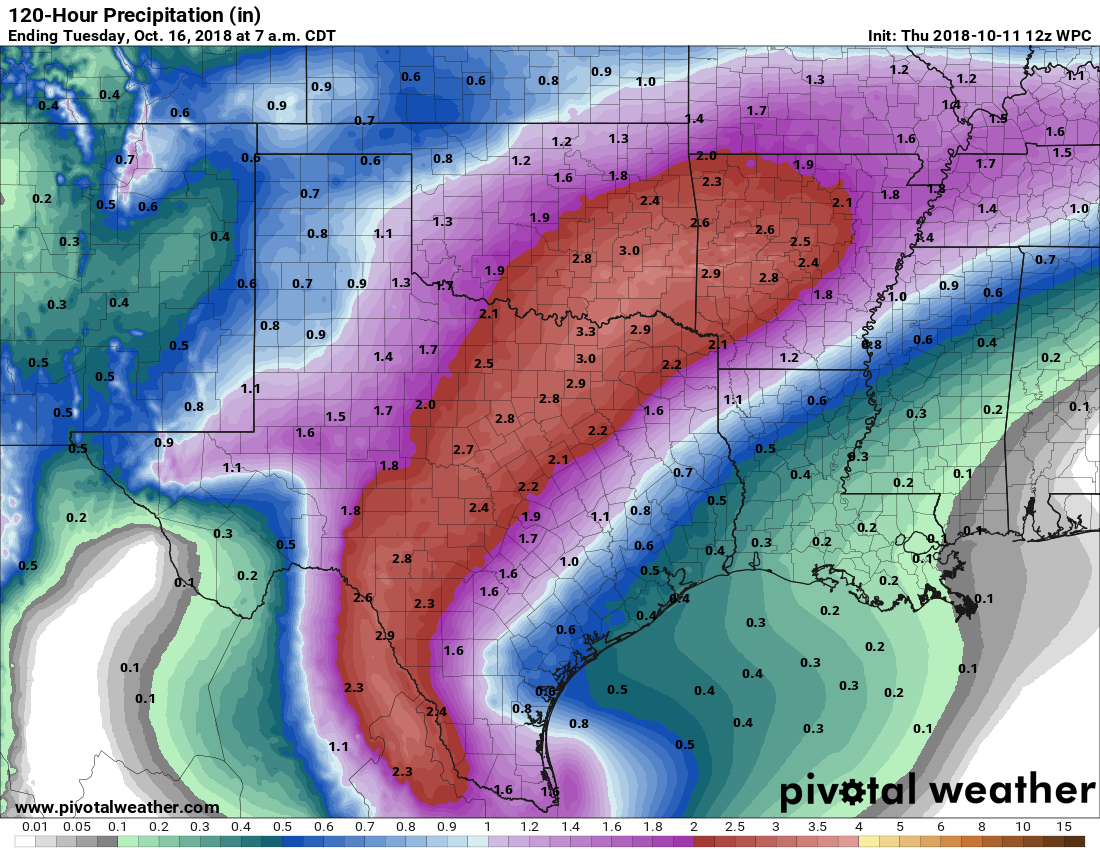
Skies will be mostly cloudy, as our weather turns a bit unsettled ahead of the region’s next cold front. We’ll see some increased rain chances before and along with a stronger cold front that will likely move through Houston on Sunday evening, or during the overnight hours. Temperatures ahead of the front will be in the mid-80s, but should cool off fairly quickly after the front moves through. Rain accumulations should be measured in tenths of an inch, rather than inches, so we don’t really have any flooding concerns.
Next week
The cold front will make for significantly cooler weather next week, but because the air mass will be confined to an area fairly close to the surface we’ll see plenty of clouds higher up. This could also lead to some on and off light to moderate rain showers through at least Wednesday or so. Temperatures will be quite chilly for October, with highs in the 60s and 70s, and overnight lows in the 50s.
Temperatures will probably rebound toward the end of next week, with highs of around 80 degrees by the weekend. Enjoy fall, y’all!
Love, love, love this morning’s weather!
Hallelujah!
Just in time. It’s snowing this morning in Couderay as we close the log cabin and head back to Pearland for the winter
No Fair!
Thank you again for all you do. My son sent me this recently. Do you have any thoughts? You can email your response if so, I would be very interested.
https://www.thegwpf.org/content/uploads/2018/10/Lindzen-2018-GWPF-Lecture.pdf
thank you for posting this, Patricia. Very interesting read.
Definitely will cause severe acid indigestion among the worshippers of the completel flawed modeling by IPCC.
Eric,
This is the 6-10 day Outlook: Gulf of Mexico and Bay of Campeche – Weak lows that get started in the western Caribbean may develop further as they move to the west and northwest, especially if they can interact with frontal systems moving southward off the US. Model guidance is suggesting that low pressure might try to develop in the Bay of Campeche
Historically, if there is development, where would this likely (no guarantees) end up?