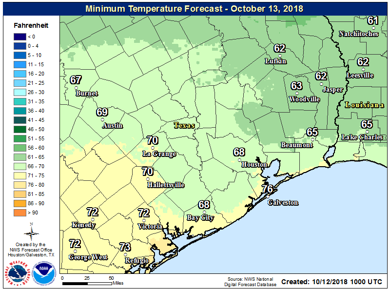
Temperatures have fallen nicely this morning, generally into the upper 50s and low 60s for inland areas, and mid- to upper-60s closer to the coast. A pre-sunrise step outside felt entirely refreshing after our five months of summer, and truth be told we have even cooler weather on the way. A front that should reach the metro area is already bringing snow to the Texas Panhandle. It won’t get that cold here, of course.
Friday
I hope you enjoyed Thursday, because we’ve got a similar day on tap for Friday, with splendiferous highs in the low 80s, mostly sunny skies, and relatively low humidity. Alas, dewpoints will be on the rise later today as the onshore flow returns, and we’ll be looking at temperatures about 5 degrees warmer tonight, with a corresponding rise in humidity overnight. Our first taste of fall may have been fleeting this year, but we’ll have more of a feast in a few days.
Saturday
This should be a reasonably nice day, with high temperatures in the mid-80s and partly sunny skies. Southerly winds will continue, kicking up humidity levels. We can’t rule out some scattered showers later in the day.

Sunday
A mostly cloudy affair as plenty of moisture moves into the region, and we begin to see a more unsettled atmosphere with the approach of a fairly strong cold front from the northwest. Rain chances aren’t too high Sunday, probably in the 30 percent range, but we can’t rule out some isolated, heavy thunderstorms popping up. High temperatures will be muggy, in the mid- to upper-80s. The front itself should arrive very late Sunday night or, more likely, on Monday.
Monday
This will be a breezy day as the cold front blows into Houston, and most areas will likely see some light to moderate rain. Highs may start out in the low 70s, but they probably won’t rise from there, and may fall through the day. Overnight lows should reach the 50s for most areas.
Tuesday, Wednesday, and Thursday
Though the front is potent, the colder air will be confined to relatively close to the surface. Because of this, we’re going to see clouds hang around after the front’s passage, and a daily chance of light rain. This will make for a few days of highs in the upper-60s to 70 degrees, and lows generally in the 50s. This will be about 20 degrees colder, on average, than the weather we saw to start the month of October. Have a great weekend everyone!
This forecast made my Friday even better!
Wrap your pipes! 😂
Check on your pets, and bring Grandma inside.
Lol
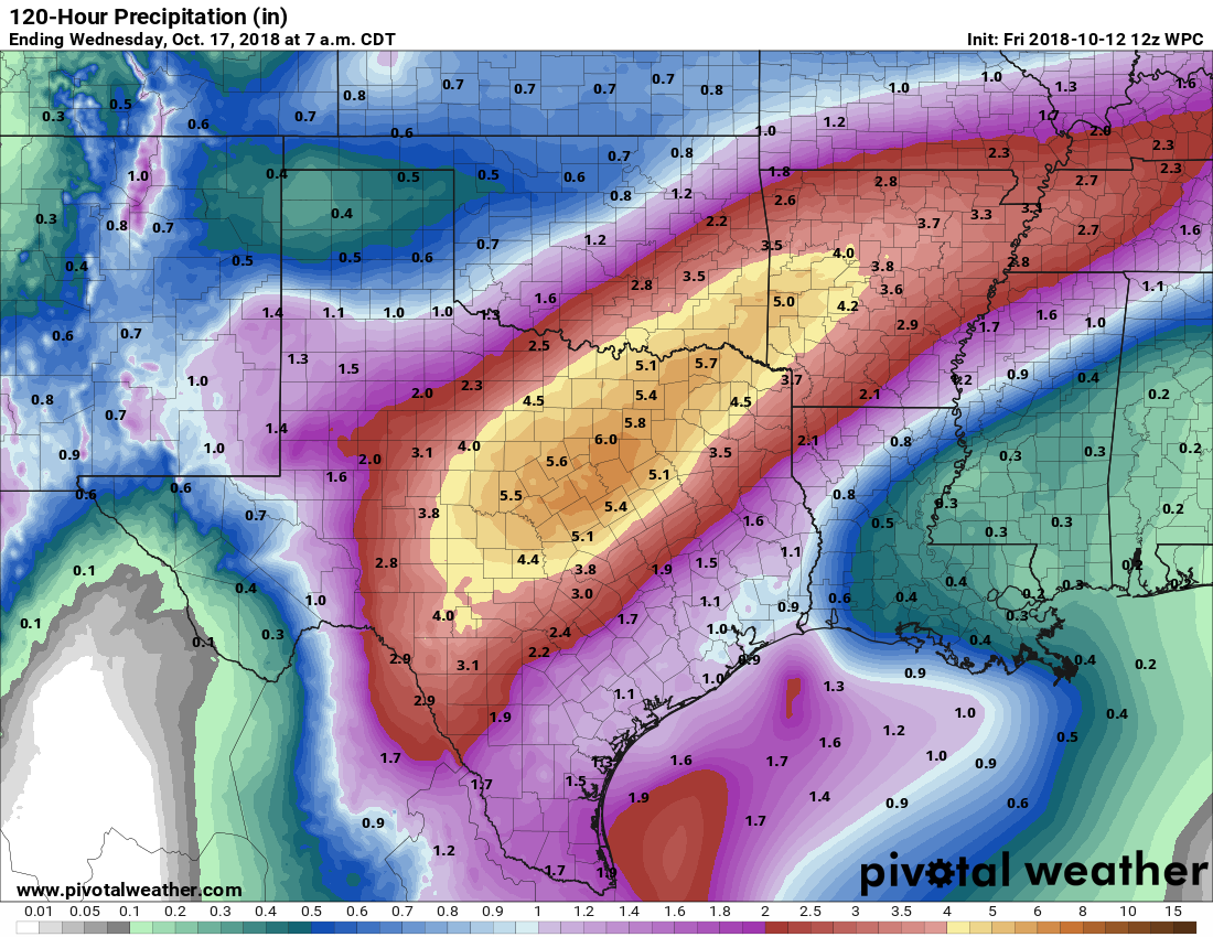
We’re heading up to a resort in north Texas tomorrow for what now looks like soggy outdoor fun. This will be one of those rare times we’ll wish we could have brought Houston weather with us.
We are heading to Palo Duro canyon this weekend for some hiking next week.
Wishing we could bring some Houston weather with us😐
I guess it’s safe to say we’re done with 90’s for the year, and I, for one, will not miss them! If only I could say the same thing for 80s.
Well, probably after Sunday. Wouldn’t rule a 90 degree temperature out this weekend.
Alas, Sunday did hit 91 degrees.
Talk about a roller coaster. If you don’t like the weather in Houston, wait 5 minutes, it’ll change.
It’s funny how almost every place I visit (and I do a lot of travelling, mostly for work) also claims this slogan. Houston’s temperature swings are actually not that drastic compared to some of the others, probably more along the lines of “if you don’t like the weather in Houston, wait 5 months, it MIGHT be slightly less hot”.
Splendiferous, you say? I’ll take it, bring on the Splindiferousness!
I haven’t heard anyone use the word “splendiferous” in over a decade! It’s the perfect word to describe this weather. And as always, appreciate the time and effort y’all put into the forecast for us.
You’re most welcome!
At least I can suspend worrying about the weather for a few days and go into full panic mode about the Dow.