Good morning. I hope everyone had a great weekend—although a tad warm for this time of year, the weather was mostly pleasant for both Saturday and Sunday. More winter-like weather is coming, however.
Today
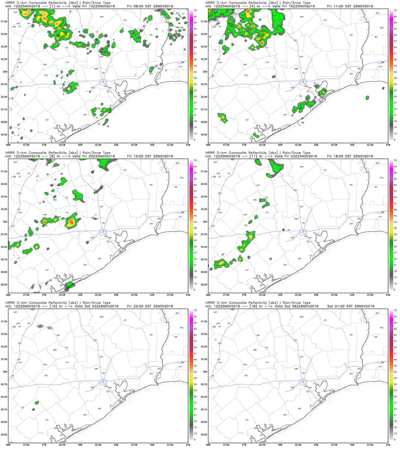
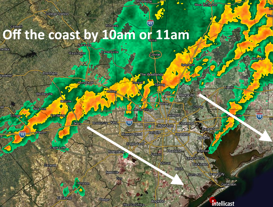
Storm conditions are only marginally favorable for Houston today, and as expected most of the development has been well to the north-northeast of the region in areas such as Lufkin. It appears as though a capping inversion remains in place over the city, and this should limit storm activity this morning. Some areas should see scattered rain showers, however.
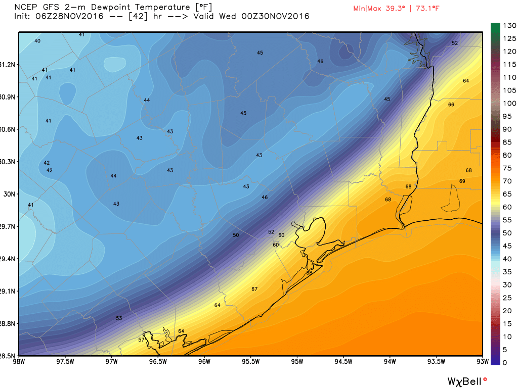
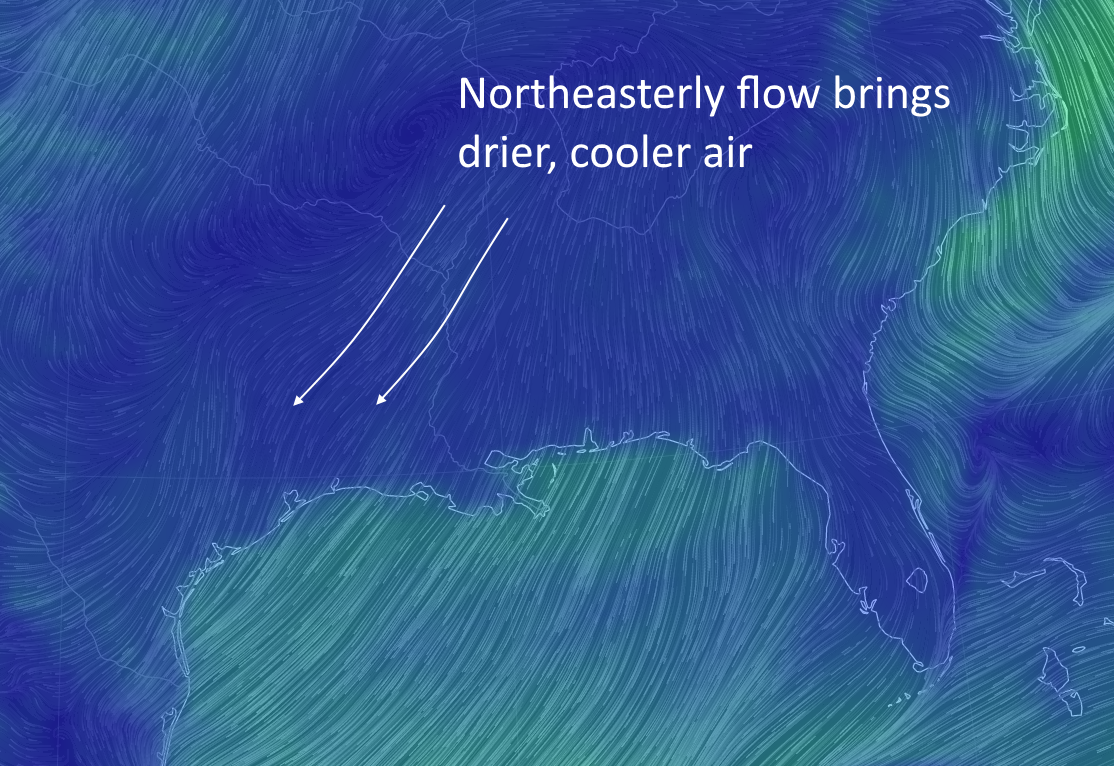
By early this afternoon some drier air will move in along with a weak cool front, which should clear our skies and allow temperatures to rise into the low 80s for much of the area. Although warm, this drier air will also allow the region to cool off fairly quickly this evening, with temperatures falling into the upper 50s north of Houston tonight, and lower 60s closer to the coast.
Tuesday
After a cool start we’ll see another fairly warm day Tuesday as the weak front washes out, with highs in the upper 70s to 80 degrees. By Tuesday afternoon we should see a modest increase in rain chances as a stronger cool front approaches, and moves through the area sometime on Tuesday evening or night. I’m not looking for much more than a broken line of showers and storms with this stronger front. The front’s passage should be noticeable with drier air moving in behind.


