A wet, possibly stormy, weekend on tap for Houston

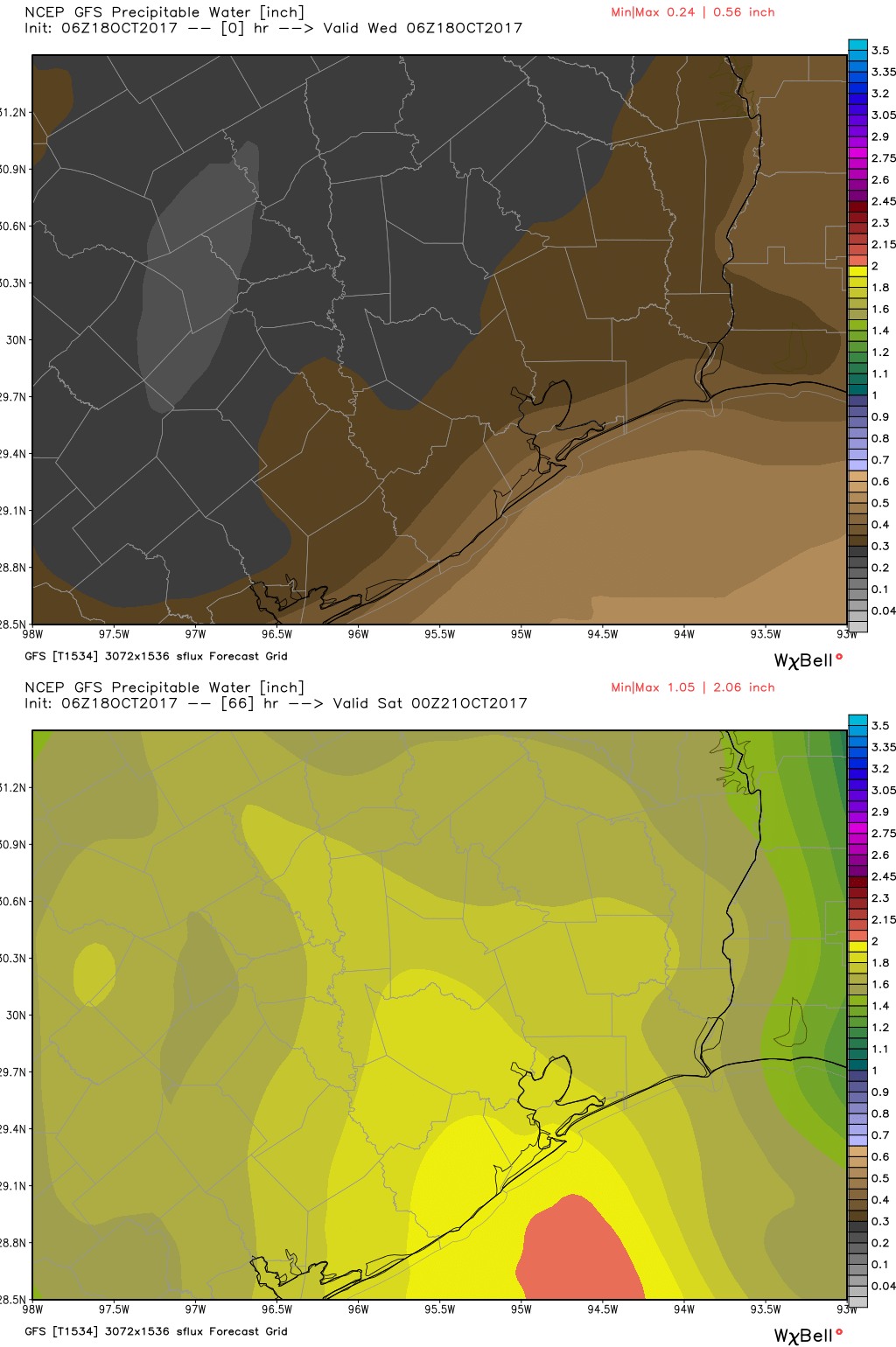
The Houston region will enjoy one more sunny day before a three-day period in which we should see rain return to Houston, including the possibility of some intermittent thunderstorms before a cold front clears us out for next week.

Thursday

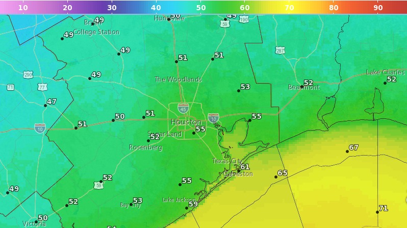
A pleasant, partly sunny day with highs in the mid-80s. We can’t rule out some scattered showers to the west and southwest of Houston, but I expect most all of the region to remain dry. After several cool nights, lows Thursday night probably won’t reach below 70 for most of the metro area.

Rain accumulation forecast for Friday, Saturday, and Sunday. (NOAA/Weather Bell)

Friday

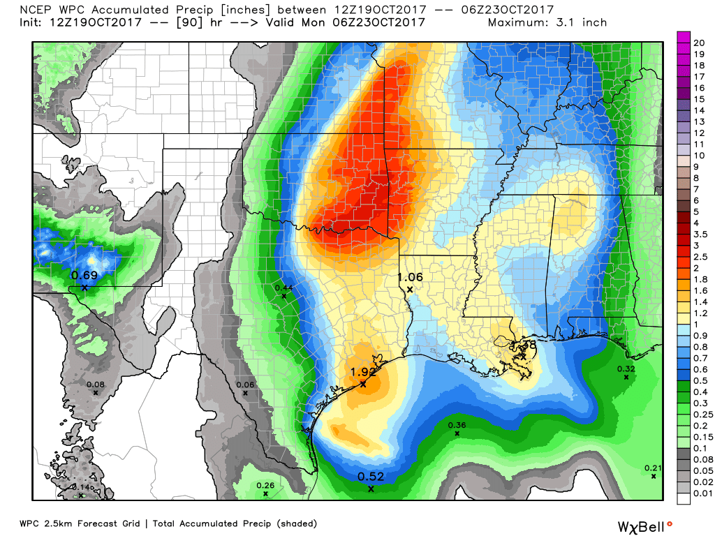
The combination of rising moisture levels and lower pressure in the upper level atmosphere will create favorable conditions for rainfall on Friday. We’re certainly not looking at anything extreme, as I think most of the region will see between 0.25 and 1 inch of rainfall on Friday. However, some of the showers could briefly pulse up to some heavy rainfall, so if you’re caught out in one of these take care. Clouds should limit highs to the low 80s.

See full post

Watching for thunderstorms to end the week in Houston

After this morning, the cold front is gone. It was nice while it lasted—and more is on the way. But first, some disturbed weather.

Wednesday and Thursday

It’s pleasantly cool this morning, with most of the region falling into the 50s except for areas immediately along the coast. Sunny skies will allow for warmer temperatures today, in the mid-80s, and the real change will come later this afternoon as winds shift to the southeast. This will allow for humidity levels to rise, and overnight temperatures to jump into the upper 60s. Thursday should be another mostly sunny day, with highs in the mid-80s.

Friday

Moisture levels will be rising with the onshore flow, and by Friday an upper-level disturbance will bring a healthy chance of rain to the forecast. We could see some intermittent downpours during the afternoon, but we expect the storms to move rather than stall, so we’re not too concerned about the potential for localized flooding. Some parts of town may see 1 inch of rain, or so, while others get only very light showers, or no rain at all. Highs in the low 80s.

A comparison of precipitable water levels on Wednesday morning (top), and Friday night. (Weather Bell)

Saturday

Rain chances will remain, but there doesn’t appear to be quite as strong of a trigger for showers and thunderstorms on Saturday. Look for partly to mostly cloudy skies, with scattered showers, but right now accumulations do not look too significant. If you’re planning outdoor activities this weekend, the chance of pulling them off on Saturday is higher than Sunday. Highs in the mid-80s.

See full post

Beautiful today, rain returns to Houston this weekend

Oh, what a morning. Lows for some inland areas have fallen below 50 degrees, and all but areas hard by the coast have fallen at least into the upper 50s this morning. With dry air, and a crescent moon rising before the sun this morning, it was just about a perfect way to start the day. We’ve waited a long time for fall to arrive in Houston, but it sure feels great now that it has indeed moved in.

Oh, what a morning. (Weather Bell)

Tuesday

We can expect another perfect day across the region—we’ll see fewer winds today—as sunny skies allow high temperatures to reach about 80 degrees. Afterward, we can expect another cool evening and nighttime temperatures tonight a couple of degrees warmer than Monday night.

See full post

Happy “Fall Day,” Houston!

Sunday’s cold front certainly took its sweet time moving through Houston—the city tied a record high with 92 degrees, and Galveston broke its record high of 91 degrees—but cooler and drier air did finally blow through during the afternoon and early evening hours. And it’s everything we’d hoped it would be, strong enough, and lasting long enough, that we’re declaring this Fall Day for 2017 in Houston.

Monday

It’s been a breezy night, especially along the coast, as the front has pushed deep into the Gulf of Mexico. These winds should die down later this morning, although some gusts in the low 20s are possible throughout the day. Look for highs in the upper 70s this afternoon under sunny skies. Temperatures tonight will be pleasant for fall, ranging from around 50 degrees well north in Houston, into the mid-50s for much of Houston, and upper 50s closer to the coast. It’s going to feel, dare I say it, almost cold?

Monday night’s low temperatures. Oh my. (National Weather Service)

Tuesday

Another day a lot like Monday, with less wind. Look for highs in the upper 70s, sunshine, and another cool night heading into Wednesday.

See full post