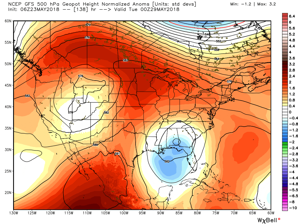
Houston’s pattern of scattered to widespread showers now seems likely to continue for one or two days before tapering off by the middle of Memorial Day Weekend. After this, we’re likely headed into a strikingly warm pattern for late May and early June, with high temperatures in the mid- to upper-90s next week. Summer is coming.
Wednesday
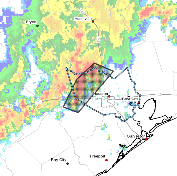
Atmospheric moisture levels remain pretty high today, probably around 2 inches of precipitable water for some locations, which generally means there’s a healthy chance of rain. I’d expect that coverage will be slightly more widespread that on Tuesday, with areas that do see rain getting on average about one-half inch. Rain chances are probably better for coastal areas today, than inland. High temperatures will probably rise into the upper 80s under mostly cloudy skies.