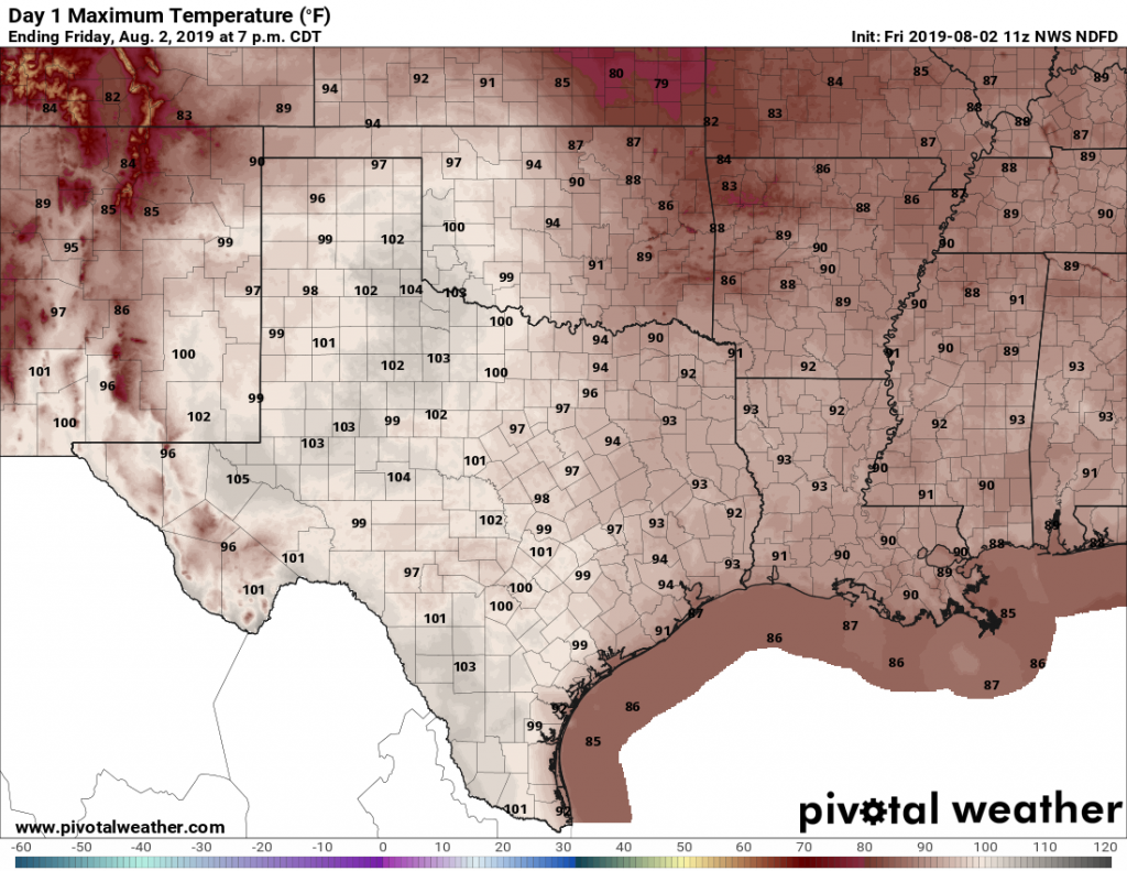
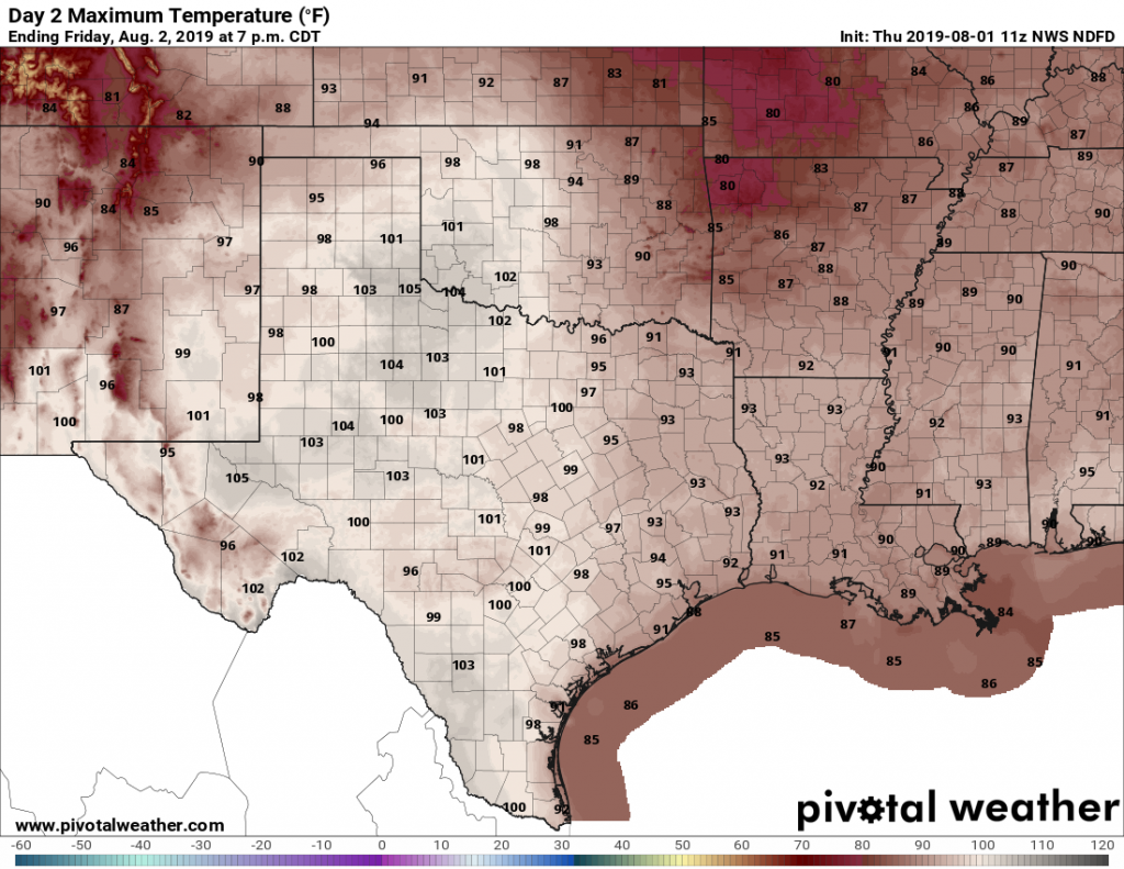
Houston faces a pretty straightforward forecast for this week, as high pressure builds in by Tuesday or Wednesday, and the heat goes up. Chances are good that inland areas, particularly north of Spring, and west of Katy, will see one or more 100-degree days this week, and this coming weekend. And after today and possibly Tuesday, rain chances will fall off a cliff. In short, August will feel like August.
Monday
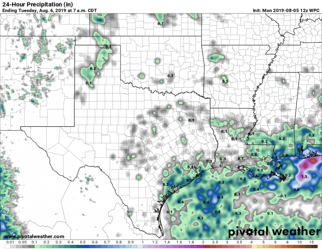
However, before that happens we’re going to see one more day with reasonably good rain chances—probably around 30 percent for areas north of Interstate 10, and 50 percent for areas closer to the coast. Conditions will be similar to Sunday, in which scattered to widespread storms popped up during the late morning and afternoon hours. Some of these storms can quickly drop an inch of rain (as happened Sunday near Waller), whereas most of the region will see a tenth of an inch of rain, or less.

The rain chances, combined with partly cloudy skies, should hold highs to around the mid-90s for most of Houston. Monday night should be rain-free as storms end with the loss of daytime heating, and lows will probably fall into the upper 70s for inland parts of the region.


